112 Carter Ln Alabaster, AL 35007
Estimated Value: $342,000 - $424,000
Studio
2
Baths
2,606
Sq Ft
$146/Sq Ft
Est. Value
About This Home
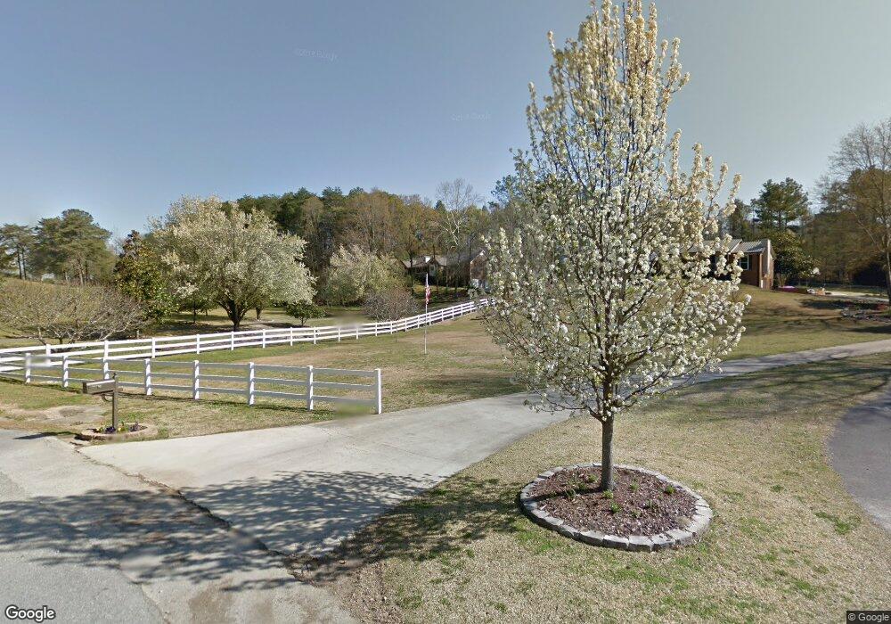
This home is located at 112 Carter Ln, Alabaster, AL 35007 and is currently estimated at $381,567, approximately $146 per square foot. 112 Carter Ln is a home located in Shelby County with nearby schools including Thompson Intermediate School, Thompson Middle School, and Thompson High School.
Ownership History
Date
Name
Owned For
Owner Type
Purchase Details
Closed on
Nov 4, 2022
Sold by
Hackler Patricia
Bought by
Chastain Jesica Natlie and Chastain Stephen Brian
Current Estimated Value
Home Financials for this Owner
Home Financials are based on the most recent Mortgage that was taken out on this home.
Original Mortgage
$235,000
Outstanding Balance
$227,700
Interest Rate
6.94%
Mortgage Type
Balloon
Estimated Equity
$153,867
Purchase Details
Closed on
Aug 13, 2001
Sold by
Carter Rayburn and Carter Lucinda J
Bought by
Hackler Jerry and Hackler Patricia
Create a Home Valuation Report for This Property
The Home Valuation Report is an in-depth analysis detailing your home's value as well as a comparison with similar homes in the area
Home Values in the Area
Average Home Value in this Area
Purchase History
| Date | Buyer | Sale Price | Title Company |
|---|---|---|---|
| Chastain Jesica Natlie | $325,000 | -- | |
| Hackler Jerry | $35,000 | -- |
Source: Public Records
Mortgage History
| Date | Status | Borrower | Loan Amount |
|---|---|---|---|
| Open | Chastain Jesica Natlie | $235,000 |
Source: Public Records
Tax History
| Year | Tax Paid | Tax Assessment Tax Assessment Total Assessment is a certain percentage of the fair market value that is determined by local assessors to be the total taxable value of land and additions on the property. | Land | Improvement |
|---|---|---|---|---|
| 2024 | $2,019 | $37,380 | $0 | $0 |
| 2023 | $1,643 | $34,900 | $0 | $0 |
| 2022 | $1,290 | $27,480 | $0 | $0 |
| 2021 | $1,202 | $25,620 | $0 | $0 |
| 2020 | $900 | $22,900 | $0 | $0 |
| 2019 | $1,034 | $22,080 | $0 | $0 |
| 2017 | $1,170 | $24,940 | $0 | $0 |
| 2015 | $1,381 | $29,380 | $0 | $0 |
| 2014 | $1,363 | $29,020 | $0 | $0 |
Source: Public Records
Map
Nearby Homes
- 1513 Mitch Ln
- 1509 Mitch Ln
- 1511 Mitch Ln
- 1507 Mitch Ln
- 211 Mountain Lake Trail
- 46 Scottsdale Dr
- 8452 Highway 119
- 0 Montevallo Rd Unit 1344829
- 302 Fran Dr
- 2040 Butler Rd
- 2022 Butler Rd
- 123 Wooten Rd
- 307 Fran Ln
- 1718 Fulton Springs Rd
- 408 Willow Glen Dr
- 314 Forest Hills Ln
- 100 Riviera Run
- 117 Park Place Cir
- 133 Park Place Ln
- 178 Park Place Ln
- 186 Carter Ln
- 1519 Mitch Ln
- 110 Carter Ln
- 1018 Franks Cir
- 1513 Mitch Ln Unit 1
- 1513 Mitch Ln Unit 18, 19, 20, 21
- 1513 Mitch Ln Unit 18
- 1513 Mitch Ln Unit 19
- 1019 Franks Cir
- 1516 Mitch Ln
- 1517 Mitch Ln
- 108 Carter Ln
- 108 Carter Ln
- 1512 Mitch Ln
- 1013 Jims Place
- 1508 Mitch Ln
- 1438 Heather Ln
- 1016 Henry Dr
- 1012 Jims Place
- 91 Carter Ln
Your Personal Tour Guide
Ask me questions while you tour the home.