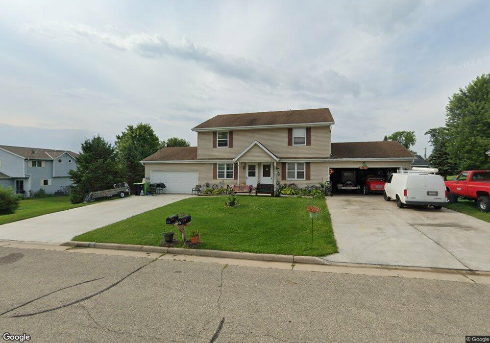
112 Douglas Dr Unit A Iron Ridge, WI 53035
Estimated Value: $317,246 - $396,000
Studio
--
Bath
--
Sq Ft
0.28
Acres Lot
About This Home
This home is located at 112 Douglas Dr Unit A, Iron Ridge, WI 53035 and is currently estimated at $347,062. 112 Douglas Dr Unit A is a home located in Dodge County with nearby schools including Horicon Elementary School, Horicon High School, and St. Matthew Lutheran School.
Ownership History
Date
Name
Owned For
Owner Type
Purchase Details
Closed on
Aug 3, 2017
Sold by
Last Daniel J and Last Nancy L
Bought by
Last Daniel J and Last Nancy L
Current Estimated Value
Purchase Details
Closed on
Sep 4, 2008
Sold by
Qualmann John D
Bought by
Last Daniel and Last Nancy L
Home Financials for this Owner
Home Financials are based on the most recent Mortgage that was taken out on this home.
Original Mortgage
$144,000
Interest Rate
6.2%
Mortgage Type
New Conventional
Create a Home Valuation Report for This Property
The Home Valuation Report is an in-depth analysis detailing your home's value as well as a comparison with similar homes in the area
Purchase History
We collect this data history from publicly available records. To have your information removed, we recommend requesting removal directly through your county’s website.
| Date | Buyer | Sale Price | Title Company |
|---|---|---|---|
| Last Daniel J | -- | None Available | |
| Last Daniel | $180,000 | None Available |
Source: Public Records
Mortgage History
We collect this data history from publicly available records. To have your information removed, we recommend requesting removal directly through your county’s website.
| Date | Status | Borrower | Loan Amount |
|---|---|---|---|
| Closed | Last Daniel | $144,000 |
Source: Public Records
Tax History
| Year | Tax Paid | Tax Assessment Tax Assessment Total Assessment is a certain percentage of the fair market value that is determined by local assessors to be the total taxable value of land and additions on the property. | Land | Improvement |
|---|---|---|---|---|
| 2025 | $3,979 | $192,800 | $36,800 | $156,000 |
| 2024 | $3,864 | $192,800 | $36,800 | $156,000 |
| 2023 | $3,840 | $192,800 | $36,800 | $156,000 |
| 2022 | $3,803 | $192,800 | $36,800 | $156,000 |
| 2021 | $3,678 | $192,800 | $36,800 | $156,000 |
| 2020 | $3,904 | $192,800 | $36,800 | $156,000 |
| 2019 | $3,705 | $192,800 | $36,800 | $156,000 |
| 2018 | $3,736 | $192,800 | $36,800 | $156,000 |
| 2017 | $3,472 | $192,800 | $36,800 | $156,000 |
| 2016 | $3,427 | $192,800 | $36,800 | $156,000 |
| 2015 | $3,380 | $192,800 | $36,800 | $156,000 |
Source: Public Records
Map
Nearby Homes
- 233 W Pleasant St
- 118 Highland Ave
- 234 Watertower Cir
- N5413 County Rd S
- W2525 Woodland Rd
- Lt1 County Rd S
- W1708 W Iowa Rd
- Lt1 Woodland Rd
- N4973 Lake Dr
- N4310 County Road R
- N4625 Hazelwood Rd
- N4583 Hickory Rd
- W1676 Wisconsin 33
- W3687 E Maple Dr
- N5968 County Road P
- N4510 Anthony Island
- N4504 Anthony Island
- W3347 Oak Lawn Rd
- W4011 Hickory Rd
- W3730 Decora Rd
- 114 Douglas Dr Unit A
- 111 Westgate Dr
- 109 Westgate Dr
- 105 Westgate Dr
- 115 Douglas Dr Unit A
- 307 W Pleasant St
- 116 Douglas Dr
- 113 Westgate Dr
- 101 Westgate Dr
- 200 Michael Dr
- 243 Kuehl Dr
- 254 Kuehl Dr
- 115 Westgate Dr
- 108 Westgate Dr
- 311 W Pleasant St
- 110 Westgate Dr
- 252 Kuehl Dr
- 112 Westgate Dr
- 102 Westgate Dr
- 102 Westgate Dr
Your Personal Tour Guide
Ask me questions while you tour the home.