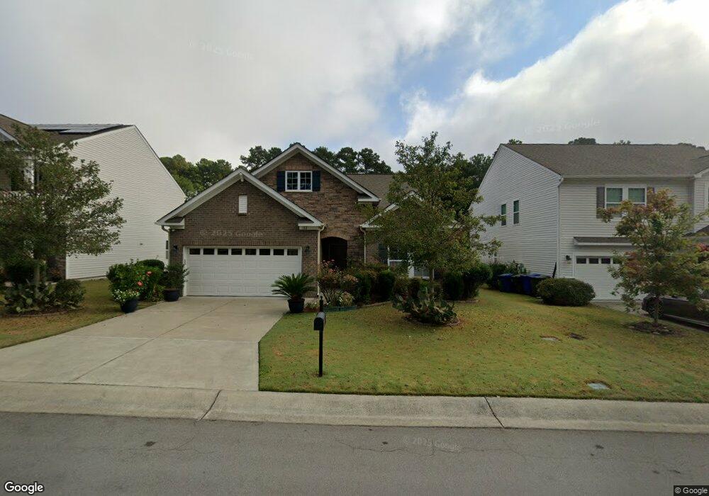
112 Foxborough Ln Durham, NC 27703
Eastern Durham NeighborhoodEstimated Value: $472,000 - $506,000
About This Home
This home is located at 112 Foxborough Ln, Durham, NC 27703 and is currently estimated at $488,188, approximately $230 per square foot. 112 Foxborough Ln is a home located in Durham County with nearby schools including Spring Valley Elementary School, John W Neal Middle School, and Southern School of Energy & Sustainability.
Ownership History
We collect this data history from publicly available records. To have your information removed, we recommend requesting removal directly through your county’s website.
Purchase Details
Purchase Details
Purchase Details
Home Values in the Area
Average Home Value in this Area
Purchase History
We collect this data history from publicly available records. To have your information removed, we recommend requesting removal directly through your county’s website.
| Date | Buyer | Sale Price | Title Company |
|---|---|---|---|
| $291,000 | -- | ||
| $708,000 | -- | ||
| -- | None Available |
Tax History
We collect this data history from publicly available records. To have your information removed, we recommend requesting removal directly through your county’s website.
| Year | Tax Paid | Tax Assessment Tax Assessment Total Assessment is a certain percentage of the fair market value that is determined by local assessors to be the total taxable value of land and additions on the property. | Land | Improvement |
|---|---|---|---|---|
| 2025 | $3,133 | $526,745 | $104,125 | $422,620 |
| 2024 | $3,818 | $291,452 | $53,595 | $237,857 |
| 2023 | $3,818 | $291,452 | $53,595 | $237,857 |
| 2022 | $3,730 | $291,452 | $53,595 | $237,857 |
| 2021 | $3,713 | $291,452 | $53,595 | $237,857 |
| 2020 | $3,625 | $291,452 | $53,595 | $237,857 |
| 2019 | $3,625 | $291,452 | $53,595 | $237,857 |
| 2018 | $3,138 | $231,312 | $47,640 | $183,672 |
| 2017 | $3,115 | $231,312 | $47,640 | $183,672 |
| 2016 | $620 | $47,640 | $47,640 | $0 |
| 2015 | $63 | $4,584 | $4,584 | $0 |
| 2014 | $63 | $4,584 | $4,584 | $0 |
Map
- 847 Ember Dr
- 1 Dawson Ct
- 839 Ember Dr
- 6 Dawson Ct
- 815 Ember Dr
- 1214 Constellation Cir
- 1216 Constellation Cir
- 1212 Constellation Cir
- 1210 Constellation Cir
- 701 Poplar St
- 2000 Cozybrook Trail
- 1114 Blackthorn Ln
- 116 Putters Ct
- 1060 Constellation Cir
- 1101 Constellation Cir
- 1056 Constellation Cir
- 1054 Constellation Cir
- 1052 Constellation Cir
- 1050 Constellation Cir
- 1041 Constellation Cir
- 114 Foxborough Ln
- 110 Foxborough Ln
- 116 Foxborough Ln
- 108 Foxborough Ln
- 111 Foxborough Ln
- 118 Foxborough Ln
- 113 Foxborough Ln
- 106 Foxborough Ln
- 109 Foxborough Ln
- 115 Foxborough Ln
- 122 Foxborough Ln
- 107 Foxborough Ln
- 117 Foxborough Ln
- 912 Poplar St
- 910 Poplar St
- 202 Foxborough Ln
- 914 Poplar St
- 105 Foxborough Ln
- 119 Foxborough Ln
- 121 Foxborough Ln
Ask me questions while you tour the home.