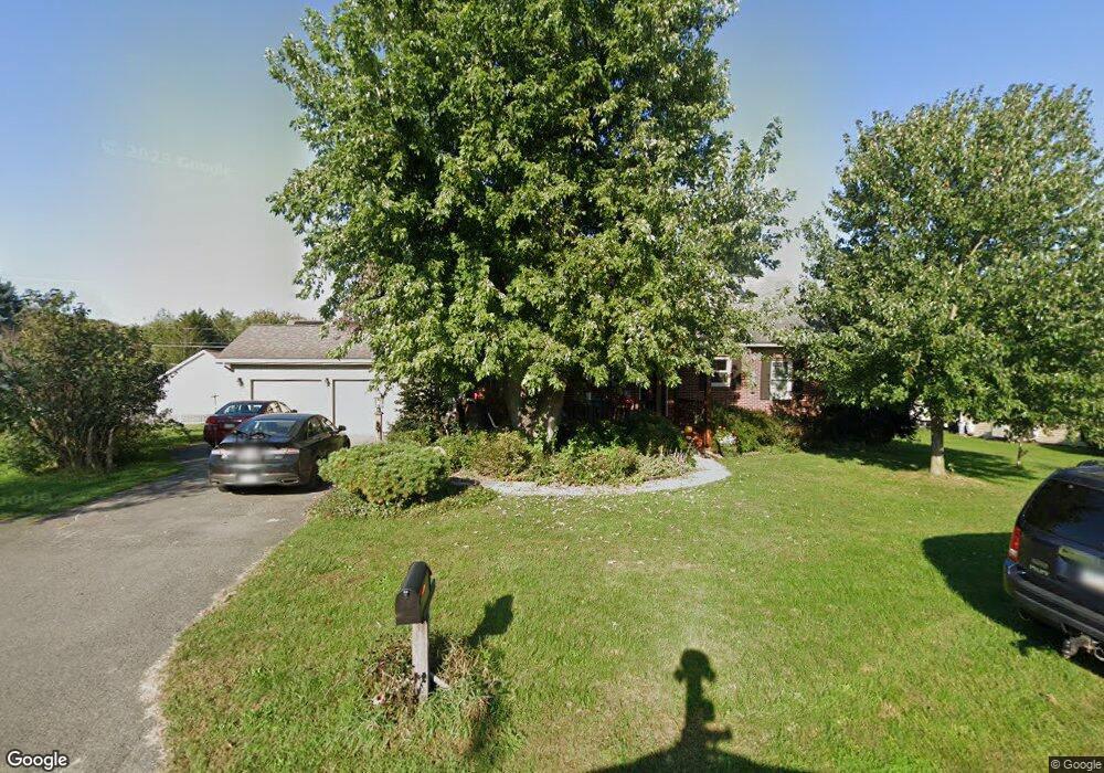
112 King Ave Shamokin Dam, PA 17876
Estimated Value: $243,000 - $291,000
Studio
--
Bath
--
Sq Ft
11,761
Sq Ft Lot
About This Home
This home is located at 112 King Ave, Shamokin Dam, PA 17876 and is currently estimated at $259,281. 112 King Ave is a home located in Snyder County with nearby schools including Selinsgrove Area Elementary School, Selinsgrove Intermediate School, and Selinsgrove Area Middle School.
Ownership History
Date
Name
Owned For
Owner Type
Purchase Details
Closed on
Oct 27, 2022
Sold by
Whitten David A and Whitten Lynn M
Bought by
Gill William T and Gill Rebekah
Current Estimated Value
Home Financials for this Owner
Home Financials are based on the most recent Mortgage that was taken out on this home.
Original Mortgage
$234,000
Outstanding Balance
$225,421
Interest Rate
6.02%
Mortgage Type
New Conventional
Estimated Equity
$33,860
Create a Home Valuation Report for This Property
The Home Valuation Report is an in-depth analysis detailing your home's value as well as a comparison with similar homes in the area
Purchase History
| Date | Buyer | Sale Price | Title Company |
|---|---|---|---|
| Gill William T | -- | Madison Settlement Services | |
| Gill William T | -- | Madison Settlement Services |
Source: Public Records
Mortgage History
| Date | Status | Borrower | Loan Amount |
|---|---|---|---|
| Open | Gill William T | $234,000 | |
| Closed | Gill William T | $234,000 |
Source: Public Records
Tax History
| Year | Tax Paid | Tax Assessment Tax Assessment Total Assessment is a certain percentage of the fair market value that is determined by local assessors to be the total taxable value of land and additions on the property. | Land | Improvement |
|---|---|---|---|---|
| 2025 | $2,487 | $22,790 | $4,340 | $18,450 |
| 2024 | $2,377 | $22,790 | $4,340 | $18,450 |
| 2023 | $885 | $22,790 | $4,340 | $18,450 |
| 2022 | $2,275 | $22,790 | $4,340 | $18,450 |
| 2021 | $2,275 | $22,790 | $4,340 | $18,450 |
| 2020 | $2,252 | $22,790 | $4,340 | $18,450 |
| 2019 | $2,229 | $22,790 | $4,340 | $18,450 |
| 2018 | $2,229 | $22,790 | $4,340 | $18,450 |
| 2017 | $2,206 | $22,790 | $4,340 | $18,450 |
| 2016 | $1,055 | $22,790 | $4,340 | $18,450 |
| 2015 | $84,282 | $22,790 | $4,340 | $18,450 |
| 2014 | $84,282 | $22,790 | $4,340 | $18,450 |
Source: Public Records
Map
Nearby Homes
- 3266 N Old Trail Unit 3268
- 0 Sunbury Rd
- 2103 N Susquehanna Trail
- 169 Pine Ln
- 5 Runyan Rd
- 0 Tract 1 Rt 11 Columbia Blvd Unit 20-101944
- 0 Blvd Unit 20-101896
- 721 Rolling Green Dr
- 803 S 2nd St
- 621 Picnic Ln
- 5954 Park Rd
- 704 Bogar Dr
- 303 S River Ave
- 359 S 3rd St
- 230 Walnut St Unit 232
- 230 232 Walnut St
- 11 Tee St
- 970 App Rd
- 340 Linden St
- 323 Walnut St
Your Personal Tour Guide
Ask me questions while you tour the home.