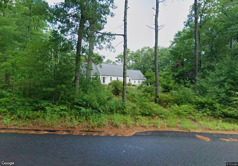
112 King Phillips Path Duxbury, MA 02332
Estimated Value: $1,185,323 - $1,381,000
4
Beds
3
Baths
2,690
Sq Ft
$486/Sq Ft
Est. Value
About This Home
This home is located at 112 King Phillips Path, Duxbury, MA 02332 and is currently estimated at $1,308,581, approximately $486 per square foot. 112 King Phillips Path is a home located in Plymouth County with nearby schools including Chandler Elementary School, Alden School, and Duxbury Middle School.
Ownership History
Date
Name
Owned For
Owner Type
Purchase Details
Closed on
May 31, 2001
Sold by
Tetrault Ann M
Bought by
Snelling David R and Snelling Danielle M
Current Estimated Value
Home Financials for this Owner
Home Financials are based on the most recent Mortgage that was taken out on this home.
Original Mortgage
$400,000
Interest Rate
7.09%
Mortgage Type
Purchase Money Mortgage
Create a Home Valuation Report for This Property
The Home Valuation Report is an in-depth analysis detailing your home's value as well as a comparison with similar homes in the area
Home Values in the Area
Average Home Value in this Area
Purchase History
| Date | Buyer | Sale Price | Title Company |
|---|---|---|---|
| Snelling David R | $549,900 | -- | |
| Snelling David R | $549,900 | -- |
Source: Public Records
Mortgage History
| Date | Status | Borrower | Loan Amount |
|---|---|---|---|
| Open | Snelling David R | $40,000 | |
| Open | Snelling David R | $475,000 | |
| Closed | Snelling David R | $400,000 |
Source: Public Records
Tax History
| Year | Tax Paid | Tax Assessment Tax Assessment Total Assessment is a certain percentage of the fair market value that is determined by local assessors to be the total taxable value of land and additions on the property. | Land | Improvement |
|---|---|---|---|---|
| 2025 | $10,017 | $987,900 | $378,400 | $609,500 |
| 2024 | $9,886 | $982,700 | $378,400 | $604,300 |
| 2023 | $9,059 | $847,400 | $393,500 | $453,900 |
| 2022 | $9,051 | $704,900 | $324,300 | $380,600 |
| 2021 | $9,218 | $636,600 | $270,300 | $366,300 |
| 2020 | $9,671 | $659,700 | $272,400 | $387,300 |
| 2019 | $9,088 | $619,100 | $227,000 | $392,100 |
| 2018 | $9,064 | $597,900 | $211,000 | $386,900 |
| 2017 | $8,800 | $567,400 | $197,200 | $370,200 |
| 2016 | $8,823 | $567,400 | $197,200 | $370,200 |
| 2015 | $8,460 | $542,300 | $172,100 | $370,200 |
Source: Public Records
Map
Nearby Homes
- 18 King Phillips Path
- 676 Franklin St
- 25 Carriage Ln Unit 25
- 225 Lincoln St Unit D8
- 225 Lincoln St Unit D8
- 757 West St
- 346 Summer St
- 16 Fieldstone Farm Way
- 4 Fieldstone Farm Way
- 15 Fieldstone Farm Way
- 14 Treetop Ln
- 738 Mayflower St
- 615 Keene St
- 182 East St
- 25 Gardner Rd
- 0 East St
- 74 Teakettle Ln
- 34 Winter St
- 315 Church St
- 3 Harlow Brook Way Unit 3
- 136 King Phillips Path
- 136 King Phillips Path
- 136 King Phillips Path
- 108 King Phillips Path
- 1 Harveys Ln
- 133 King Phillips Path
- 87 King Phillips Path
- 2 Harveys Ln
- 2 Harvey's Ln
- 7 Ryans Ln
- 85 King Phillips Path
- 147 King Phillips Path
- 11 Ryans Ln
- 158 King Phillips Path
- 15 Ryans Ln
- 19 Stonegate Ln
- 157 King Phillips Path
- 467 Congress St
- 471 Congress St
- 106 King Phillips Path
Your Personal Tour Guide
Ask me questions while you tour the home.