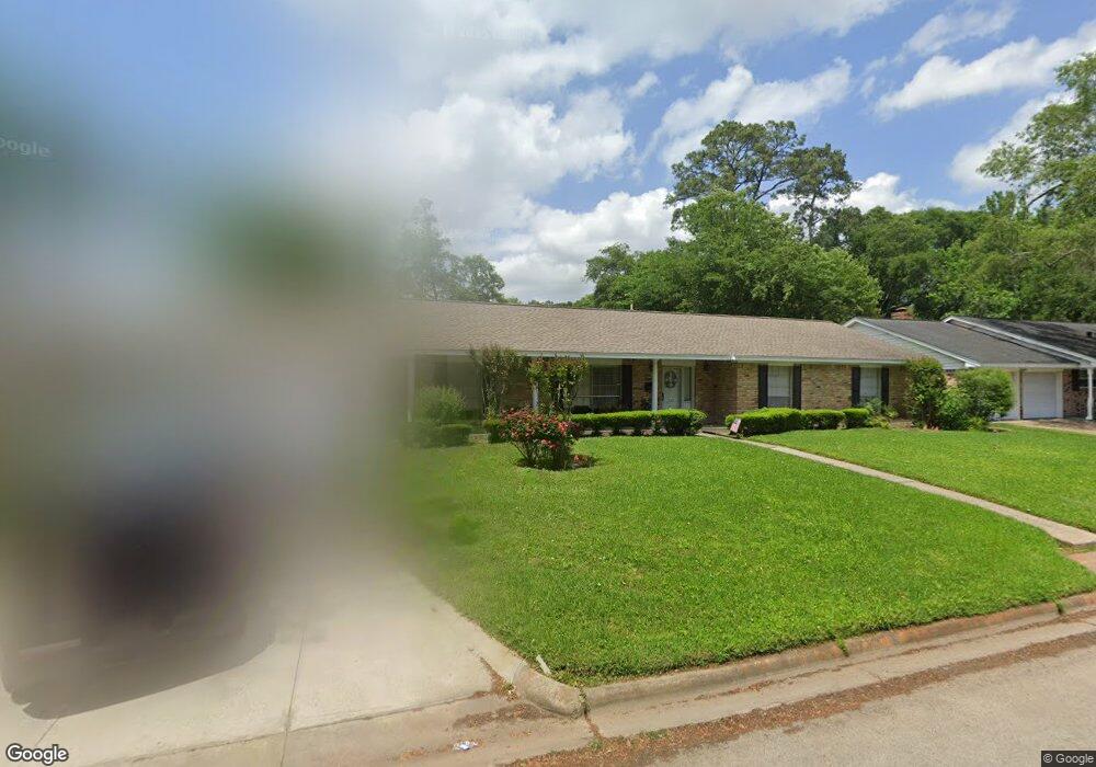
112 Maple St Conroe, TX 77301
Estimated Value: $204,687 - $258,000
Studio
2
Baths
1,893
Sq Ft
$123/Sq Ft
Est. Value
About This Home
This home is located at 112 Maple St, Conroe, TX 77301 and is currently estimated at $233,672, approximately $123 per square foot. 112 Maple St is a home located in Montgomery County with nearby schools including Houston Elementary School, Travis Intermediate School, and Peet Junior High School.
Ownership History
Date
Name
Owned For
Owner Type
Purchase Details
Closed on
May 16, 2022
Sold by
Wayne Harris Michael
Bought by
Harris Lisa Diane and Harris Linda Ann
Current Estimated Value
Purchase Details
Closed on
Apr 14, 2004
Sold by
Kaiser Charlotte Jean and Kaiser Charlotte Jean Trosper
Bought by
Sanders Evelyn Avon
Home Financials for this Owner
Home Financials are based on the most recent Mortgage that was taken out on this home.
Original Mortgage
$79,950
Interest Rate
5.61%
Mortgage Type
Purchase Money Mortgage
Create a Home Valuation Report for This Property
The Home Valuation Report is an in-depth analysis detailing your home's value as well as a comparison with similar homes in the area
Home Values in the Area
Average Home Value in this Area
Purchase History
| Date | Buyer | Sale Price | Title Company |
|---|---|---|---|
| Harris Lisa Diane | -- | None Listed On Document | |
| Sanders Evelyn Avon | -- | Chicago Title Insurance Co |
Source: Public Records
Mortgage History
| Date | Status | Borrower | Loan Amount |
|---|---|---|---|
| Previous Owner | Sanders Evelyn Avon | $79,950 |
Source: Public Records
Tax History
| Year | Tax Paid | Tax Assessment Tax Assessment Total Assessment is a certain percentage of the fair market value that is determined by local assessors to be the total taxable value of land and additions on the property. | Land | Improvement |
|---|---|---|---|---|
| 2025 | $1,328 | $98,880 | $32,062 | $66,818 |
| 2024 | $1,277 | $111,243 | -- | -- |
| 2023 | $1,277 | $101,130 | $32,070 | $69,060 |
| 2022 | $4,284 | $206,570 | $64,130 | $142,440 |
| 2021 | $3,772 | $172,520 | $25,650 | $146,870 |
| 2020 | $3,785 | $165,890 | $25,650 | $142,320 |
| 2019 | $3,517 | $150,810 | $7,790 | $143,020 |
| 2018 | $2,359 | $143,630 | $7,790 | $156,920 |
| 2017 | $3,057 | $130,570 | $7,790 | $156,920 |
| 2016 | $2,779 | $118,700 | $7,790 | $120,560 |
| 2015 | $507 | $107,910 | $7,790 | $120,560 |
| 2014 | $507 | $94,330 | $7,790 | $86,540 |
Source: Public Records
Map
Nearby Homes
- 202 Oak Hollow St
- 1015 Stevens Ave
- 1013 Stevens Ave
- 1005 Callahan Ave
- 1506 King Ranch Rd
- 0 W Semands Ave
- 809 W Semands St
- 915 W Lewis St
- 1020 Houston St
- TBD Texas 105
- 1620 Odd Fellow St
- 412 Waco St
- 1202 N Roberson St
- 407 W Semands St
- 0000 Kimberly Trace
- 417 W Lewis St
- 0 N Roberson St
- 1105 Northpine Dr
- 1806 N Frazier St
- 1508 N Roberson St
Your Personal Tour Guide
Ask me questions while you tour the home.