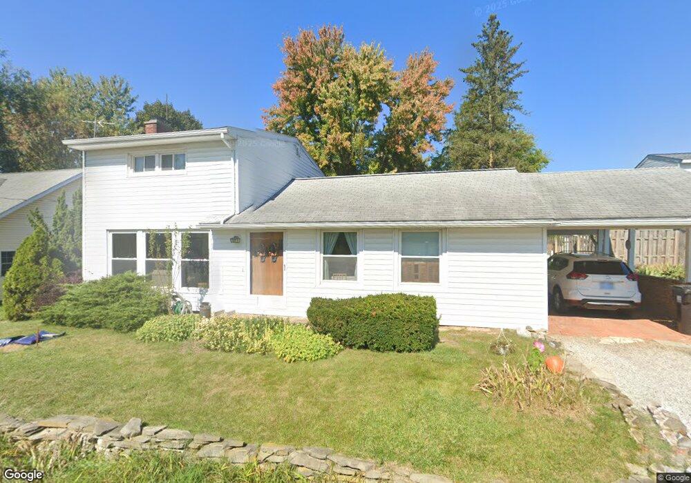
112 Marietta Rd Spring Arbor, MI 49283
Estimated Value: $204,000 - $238,000
Studio
1
Bath
2,100
Sq Ft
$102/Sq Ft
Est. Value
About This Home
This home is located at 112 Marietta Rd, Spring Arbor, MI 49283 and is currently estimated at $214,334, approximately $102 per square foot. 112 Marietta Rd is a home located in Jackson County with nearby schools including Western High School and Trinity Lutheran School.
Ownership History
Date
Name
Owned For
Owner Type
Purchase Details
Closed on
Nov 2, 2001
Sold by
Messner Ralph E and Messner Gladys J
Bought by
Buratovich Michael A and Buratovich Carolyn E
Current Estimated Value
Home Financials for this Owner
Home Financials are based on the most recent Mortgage that was taken out on this home.
Original Mortgage
$84,000
Outstanding Balance
$32,589
Interest Rate
6.62%
Mortgage Type
Purchase Money Mortgage
Estimated Equity
$181,745
Create a Home Valuation Report for This Property
The Home Valuation Report is an in-depth analysis detailing your home's value as well as a comparison with similar homes in the area
Home Values in the Area
Average Home Value in this Area
Purchase History
We collect this data history from publicly available records. To have your information removed, we recommend requesting removal directly through your county’s website.
| Date | Buyer | Sale Price | Title Company |
|---|---|---|---|
| Buratovich Michael A | $105,000 | -- |
Source: Public Records
Mortgage History
We collect this data history from publicly available records. To have your information removed, we recommend requesting removal directly through your county’s website.
| Date | Status | Borrower | Loan Amount |
|---|---|---|---|
| Open | Buratovich Michael A | $84,000 |
Source: Public Records
Tax History
| Year | Tax Paid | Tax Assessment Tax Assessment Total Assessment is a certain percentage of the fair market value that is determined by local assessors to be the total taxable value of land and additions on the property. | Land | Improvement |
|---|---|---|---|---|
| 2025 | $1,427 | $109,100 | $0 | $0 |
| 2024 | $14 | $105,500 | $0 | $0 |
| 2023 | $1,389 | $94,100 | $0 | $0 |
| 2022 | $2,158 | $91,100 | $0 | $0 |
| 2021 | $2,120 | $78,770 | $0 | $0 |
| 2020 | $2,095 | $78,800 | $0 | $0 |
| 2019 | $1,995 | $74,470 | $0 | $0 |
| 2018 | $1,988 | $76,300 | $4,470 | $71,830 |
| 2017 | $1,881 | $76,050 | $0 | $0 |
| 2016 | $1,179 | $59,680 | $59,680 | $0 |
| 2015 | $48,453 | $51,130 | $51,130 | $0 |
| 2014 | $48,453 | $50,870 | $50,870 | $0 |
| 2013 | -- | $50,870 | $50,870 | $0 |
Source: Public Records
Map
Nearby Homes
- 123 Teft Rd
- 3764 Chapel Rd
- 68 Dickens St
- V/L S Dearing Rd Unit 40 Acres Vacant Land
- 7315 King Rd
- 181 Remington Dr
- 8257 Lockerbie Dr
- 2089 Elwood Blvd Unit 27
- 3824 Moscow Rd
- 3130 Daggitt Dr
- 6405 King Rd
- 5135 Moscow Rd
- 0 Mccain Rd
- 5241 Moscow Rd
- VL Chapel Rd
- 1400 Chapel Rd Unit B
- 1400 Chapel Rd Unit A
- 7870 Sears Rd
- 6316 Moscow Rd
- 6820 Bowerman Rd
Your Personal Tour Guide
Ask me questions while you tour the home.