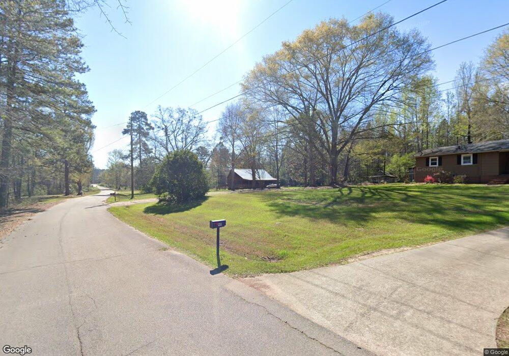
112 Marty Ln Lagrange, GA 30240
LaGrange AreaEstimated Value: $201,000 - $231,000
About This Home
This home is located at 112 Marty Ln, Lagrange, GA 30240 and is currently estimated at $215,986, approximately $134 per square foot. 112 Marty Ln is a home located in Troup County with nearby schools including Berta Weathersbee Elementary School, Long Cane Elementary School, and Whitesville Road Elementary School.
Ownership History
We collect this data history from publicly available records. To have your information removed, we recommend requesting removal directly through your county’s website.
Purchase Details
Purchase Details
Purchase Details
Purchase History
We collect this data history from publicly available records. To have your information removed, we recommend requesting removal directly through your county’s website.
| Date | Buyer | Sale Price | Title Company |
|---|---|---|---|
| -- | -- | ||
| -- | -- | ||
| -- | -- |
Tax History
We collect this data history from publicly available records. To have your information removed, we recommend requesting removal directly through your county’s website.
| Year | Tax Paid | Tax Assessment Tax Assessment Total Assessment is a certain percentage of the fair market value that is determined by local assessors to be the total taxable value of land and additions on the property. | Land | Improvement |
|---|---|---|---|---|
| 2025 | $1,842 | $67,552 | $4,520 | $63,032 |
| 2024 | $1,644 | $60,272 | $4,520 | $55,752 |
| 2023 | $1,562 | $57,272 | $4,520 | $52,752 |
| 2022 | $1,482 | $53,112 | $4,520 | $48,592 |
| 2021 | $1,478 | $49,016 | $3,960 | $45,056 |
| 2020 | $1,478 | $49,016 | $3,960 | $45,056 |
| 2019 | $1,227 | $40,672 | $3,960 | $36,712 |
| 2018 | $1,125 | $37,316 | $3,960 | $33,356 |
| 2017 | $1,125 | $37,316 | $3,960 | $33,356 |
| 2016 | $1,066 | $35,345 | $4,000 | $31,345 |
| 2015 | $1,068 | $35,345 | $4,000 | $31,345 |
| 2014 | $1,020 | $33,695 | $4,000 | $29,695 |
| 2013 | -- | $35,028 | $4,000 | $31,028 |
Map
- 124 Marty Ln
- 191 Hanson Dr
- 245 Teaver Rd
- 100 Teaver Ct
- 3658 W Point Rd
- 105 Redwood Dr
- 36 Hill Rd
- 0 Bradfield Dr Unit 10568803
- 53 Horace Carter Rd
- 37 Overbrook Dr
- 419 Fling Rd
- 5043 Old West Point Rd
- 62 Maley Rd
- 202 Foxdale Ct
- 321 Woodfield Cir
- 109 Huntcliff Ct
- 115 Planters Ridge Dr
- 6 Hastings Ct
- 82 Newton Rd
- 105 Plymouth Place
Ask me questions while you tour the home.