112 N Rust Ave Gentry, AR 72734
Estimated Value: $97,000 - $162,000
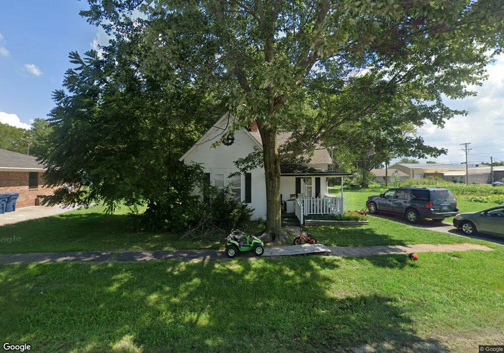
About This Home
This home is located at 112 N Rust Ave, Gentry, AR 72734 and is currently estimated at $128,456, approximately $142 per square foot. 112 N Rust Ave is a home located in Benton County with nearby schools including Gentry Intermediate School, Gentry Primary School, and Gentry Middle School.
Ownership History
We collect this data history from publicly available records. To have your information removed, we recommend requesting removal directly through your county’s website.
Purchase Details
Purchase Details
Purchase Details
Purchase Details
Purchase Details
Purchase Details
Home Values in the Area
Average Home Value in this Area
Purchase History
We collect this data history from publicly available records. To have your information removed, we recommend requesting removal directly through your county’s website.
| Date | Buyer | Sale Price | Title Company |
|---|---|---|---|
| $27,000 | None Available | ||
| $19,000 | -- | ||
| $30,000 | -- | ||
| -- | -- | ||
| -- | -- | ||
| -- | -- |
Tax History
We collect this data history from publicly available records. To have your information removed, we recommend requesting removal directly through your county’s website.
| Year | Tax Paid | Tax Assessment Tax Assessment Total Assessment is a certain percentage of the fair market value that is determined by local assessors to be the total taxable value of land and additions on the property. | Land | Improvement |
|---|---|---|---|---|
| 2025 | $547 | $17,442 | $7,000 | $10,442 |
| 2024 | $496 | $17,442 | $7,000 | $10,442 |
| 2023 | $451 | $11,580 | $5,000 | $6,580 |
| 2022 | $438 | $11,580 | $5,000 | $6,580 |
| 2021 | $401 | $11,580 | $5,000 | $6,580 |
| 2020 | $366 | $6,260 | $1,800 | $4,460 |
| 2019 | $366 | $6,260 | $1,800 | $4,460 |
| 2018 | $366 | $6,260 | $1,800 | $4,460 |
| 2017 | $299 | $6,260 | $1,800 | $4,460 |
| 2016 | $299 | $6,260 | $1,800 | $4,460 |
| 2015 | $299 | $5,400 | $1,800 | $3,600 |
| 2014 | $298 | $5,400 | $1,800 | $3,600 |
Map
- 1728 Pittman St
- 1704 Edens St
- 1720 Edens St
- 1733 Pittman St
- 1732 Edens St
- 0 SE 1st St
- 505 N Collins Ave Unit A & B
- 104 W 3rd St
- 0 James Ave
- 513 N Byers Ave
- 190 Allen Ave
- 0 Arkansas 12
- 9.09 Acres E 3rd St Hwy 12
- 10879 Arkansas 59
- 608 Buffalo Ave
- 613 S Smith Ave
- 628 Pine Ave
- 284 Miles Ave
- 304 White Oak St
- 1313 Valley Dr
Ask me questions while you tour the home.