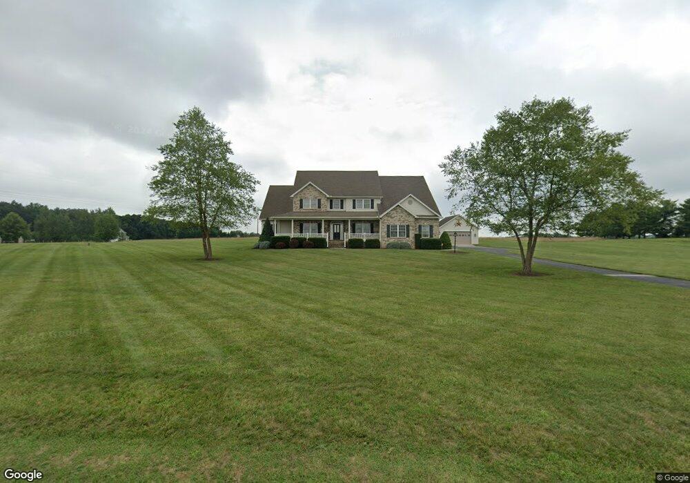
1120 Teeter Rd Unit 1 Littlestown, PA 17340
Estimated Value: $857,000 - $952,000
4
Beds
4
Baths
4,350
Sq Ft
$205/Sq Ft
Est. Value
About This Home
This home is located at 1120 Teeter Rd Unit 1, Littlestown, PA 17340 and is currently estimated at $892,672, approximately $205 per square foot. 1120 Teeter Rd Unit 1 is a home located in Adams County with nearby schools including Rolling Acres El School, Maple Avenue Middle School, and Littlestown Senior High School.
Ownership History
Date
Name
Owned For
Owner Type
Purchase Details
Closed on
Oct 26, 2009
Sold by
Straker Richard W and Straker Angela F
Bought by
Kane Edward M and Kane Marion M
Current Estimated Value
Home Financials for this Owner
Home Financials are based on the most recent Mortgage that was taken out on this home.
Original Mortgage
$416,000
Outstanding Balance
$272,464
Interest Rate
5.06%
Mortgage Type
New Conventional
Estimated Equity
$620,208
Create a Home Valuation Report for This Property
The Home Valuation Report is an in-depth analysis detailing your home's value as well as a comparison with similar homes in the area
Purchase History
| Date | Buyer | Sale Price | Title Company |
|---|---|---|---|
| Kane Edward M | $520,000 | -- |
Source: Public Records
Mortgage History
| Date | Status | Borrower | Loan Amount |
|---|---|---|---|
| Open | Kane Edward M | $416,000 |
Source: Public Records
Tax History
| Year | Tax Paid | Tax Assessment Tax Assessment Total Assessment is a certain percentage of the fair market value that is determined by local assessors to be the total taxable value of land and additions on the property. | Land | Improvement |
|---|---|---|---|---|
| 2025 | $8,858 | $468,000 | $10,300 | $457,700 |
| 2024 | $8,515 | $468,000 | $10,300 | $457,700 |
| 2023 | $11,533 | $468,000 | $10,300 | $457,700 |
| 2022 | $11,449 | $468,000 | $10,300 | $457,700 |
| 2021 | $11,042 | $468,000 | $10,300 | $457,700 |
| 2020 | $10,882 | $468,000 | $10,300 | $457,700 |
| 2019 | $10,649 | $468,000 | $10,300 | $457,700 |
| 2018 | $10,332 | $468,000 | $10,300 | $457,700 |
| 2017 | $7,203 | $468,000 | $10,300 | $457,700 |
| 2016 | -- | $468,000 | $10,300 | $457,700 |
| 2015 | -- | $516,100 | $58,400 | $457,700 |
| 2014 | -- | $466,200 | $8,500 | $457,700 |
Source: Public Records
Map
Nearby Homes
- 0 Hershey Rd Unit PALA2058618
- 2226 Harney Rd Unit 2
- 240 Amanda Dr Unit 18
- 37 Amanda Dr Unit 14
- 105 Saint Johns Rd W
- 1002 Frederick Pike Unit 4
- 1245 Harney Rd
- 620 Saint Johns Rd
- 14 Revere Ct Unit 71
- 153 Stoners Cir
- 20 Stedtle Ave
- 19 Stayman Way Unit 64
- 11 Yorktowne Ct Unit 96
- 15 Yorktowne Ct Unit 97
- 5160 Baltimore Pike Unit 3
- 141 W King St
- 311 S Columbus Ave Unit 128
- 45 James Ave
- 161 Cemetery St
- 0 Locust Dr Unit PAAD2015910
- 1040 Teeter Rd Unit 7
- 1164 Teeter Rd
- 1025 Teeter Rd
- 70 Honeysuckle Ln Unit 6
- 101 Honeysuckle Ln Unit 4
- Lot #1 Teeter Rd
- Lot #1 Teeter Rd Unit 1
- 1175 Teeter Rd
- 110 Honeysuckle Ln Unit 5
- 960 Teeter Rd Unit 2
- 113 Hummingbird Ln
- 1551 Fish And Game Rd Unit 8
- 59 Hummingbird Ln Unit 11
- 2250 Harney Rd Unit 1
- 779 Gettysburg Rd
- 2190 Harney Rd
- 149 Cornsilk
- 1625 Fish And Game Rd
- 1625 Fish And Game Rd Unit 1
- 0 Horseshoe Pike Unit 1007931906
Your Personal Tour Guide
Ask me questions while you tour the home.