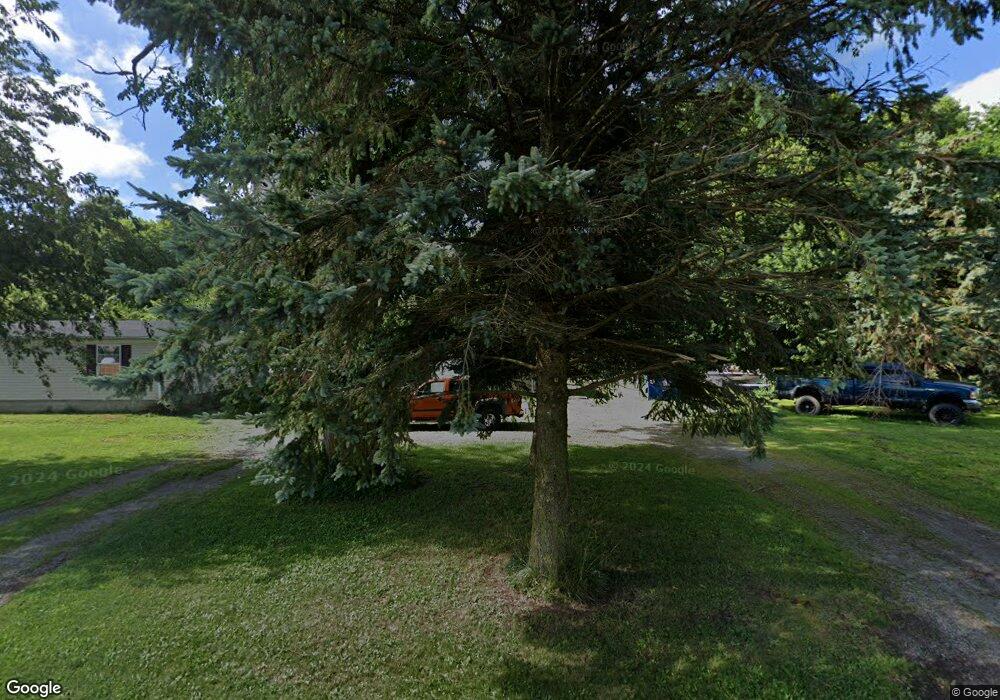
11204 Dining Rd Bellevue, OH 44811
Estimated Value: $270,000 - $301,000
3
Beds
2
Baths
2,052
Sq Ft
$142/Sq Ft
Est. Value
About This Home
This home is located at 11204 Dining Rd, Bellevue, OH 44811 and is currently estimated at $290,382, approximately $141 per square foot. 11204 Dining Rd is a home located in Erie County with nearby schools including Margaretta Elementary School and Margaretta High School.
Ownership History
Date
Name
Owned For
Owner Type
Purchase Details
Closed on
May 8, 2019
Sold by
Cicco Richard L and Cicco Barbara A
Bought by
Davidson Robert W
Current Estimated Value
Home Financials for this Owner
Home Financials are based on the most recent Mortgage that was taken out on this home.
Original Mortgage
$77,700
Outstanding Balance
$64,458
Interest Rate
4%
Mortgage Type
New Conventional
Estimated Equity
$225,924
Purchase Details
Closed on
Jan 8, 1998
Sold by
Sherman Evelyn
Bought by
Stamm Ralph J
Create a Home Valuation Report for This Property
The Home Valuation Report is an in-depth analysis detailing your home's value as well as a comparison with similar homes in the area
Purchase History
We collect this data history from publicly available records. To have your information removed, we recommend requesting removal directly through your county’s website.
| Date | Buyer | Sale Price | Title Company |
|---|---|---|---|
| Davidson Robert W | $60,000 | None Available | |
| Stamm Ralph J | $18,000 | -- |
Source: Public Records
Mortgage History
We collect this data history from publicly available records. To have your information removed, we recommend requesting removal directly through your county’s website.
| Date | Status | Borrower | Loan Amount |
|---|---|---|---|
| Open | Davidson Robert W | $77,700 |
Source: Public Records
Tax History
| Year | Tax Paid | Tax Assessment Tax Assessment Total Assessment is a certain percentage of the fair market value that is determined by local assessors to be the total taxable value of land and additions on the property. | Land | Improvement |
|---|---|---|---|---|
| 2025 | $2,534 | $78,774 | $20,471 | $58,303 |
| 2024 | $2,534 | $78,774 | $20,471 | $58,303 |
| 2023 | $2,596 | $62,926 | $14,542 | $48,384 |
| 2022 | $2,352 | $62,933 | $14,542 | $48,391 |
| 2021 | $2,328 | $62,930 | $14,540 | $48,390 |
| 2020 | $1,991 | $51,400 | $14,540 | $36,860 |
| 2019 | $1,720 | $51,400 | $14,540 | $36,860 |
| 2018 | $1,822 | $51,400 | $14,540 | $36,860 |
| 2017 | $2,128 | $49,170 | $10,240 | $38,930 |
| 2016 | $2,104 | $49,170 | $10,240 | $38,930 |
| 2015 | $2,114 | $49,170 | $10,240 | $38,930 |
| 2014 | $466 | $10,240 | $10,240 | $0 |
| 2013 | $460 | $10,240 | $10,240 | $0 |
Source: Public Records
Map
Nearby Homes
- 9116 Ohio 269
- 0 312 Unit 10003540
- VL Cold Creek Ct
- 0 Skadden Rd
- 6208 Skadden Rd
- 203 Depot St
- 0 Vl Cold Creek Ct Unit 20232610
- 3714 Gary Dr
- 5610 Bogart Rd W
- 3712 Ronald Dr
- 1420 County Road 302 Unit 14
- 3005 Bardshar Rd
- 420 Moore Ave
- 344 High St
- 248 Fairfield Ave
- 196 Sheffield St
- 1875 County Road 302
- 6136 State Route 113
- 209 Greenwood Heights
- 201 Brinker St
Your Personal Tour Guide
Ask me questions while you tour the home.