Estimated Value: $307,000 - $388,000
4
Beds
2
Baths
2,136
Sq Ft
$162/Sq Ft
Est. Value
About This Home
This home is located at 11273 Vaughn Rd, Hiram, OH 44234 and is currently estimated at $345,334, approximately $161 per square foot. 11273 Vaughn Rd is a home located in Portage County with nearby schools including Crestwood Primary School, Crestwood Intermediate School, and Crestwood Middle School.
Ownership History
Date
Name
Owned For
Owner Type
Purchase Details
Closed on
Jul 3, 1995
Sold by
Giambrone Frank R
Bought by
Lemieux Michael D and Lemieux Kathy J
Current Estimated Value
Home Financials for this Owner
Home Financials are based on the most recent Mortgage that was taken out on this home.
Original Mortgage
$95,000
Interest Rate
7.88%
Mortgage Type
New Conventional
Create a Home Valuation Report for This Property
The Home Valuation Report is an in-depth analysis detailing your home's value as well as a comparison with similar homes in the area
Purchase History
| Date | Buyer | Sale Price | Title Company |
|---|---|---|---|
| Lemieux Michael D | $145,000 | -- |
Source: Public Records
Mortgage History
| Date | Status | Borrower | Loan Amount |
|---|---|---|---|
| Closed | Lemieux Michael D | $95,000 |
Source: Public Records
Tax History
| Year | Tax Paid | Tax Assessment Tax Assessment Total Assessment is a certain percentage of the fair market value that is determined by local assessors to be the total taxable value of land and additions on the property. | Land | Improvement |
|---|---|---|---|---|
| 2025 | $3,246 | $78,790 | $17,050 | $61,740 |
| 2024 | $3,122 | $78,790 | $17,050 | $61,740 |
| 2023 | $3,083 | $70,840 | $15,820 | $55,020 |
| 2022 | $3,117 | $70,840 | $15,820 | $55,020 |
| 2021 | $3,138 | $70,840 | $15,820 | $55,020 |
| 2020 | $2,873 | $61,290 | $15,050 | $46,240 |
| 2019 | $2,833 | $61,290 | $15,050 | $46,240 |
| 2018 | $2,623 | $55,650 | $14,490 | $41,160 |
| 2017 | $2,623 | $55,650 | $14,490 | $41,160 |
| 2016 | $2,615 | $55,650 | $14,490 | $41,160 |
| 2015 | $2,621 | $55,650 | $14,490 | $41,160 |
| 2014 | $2,564 | $53,310 | $14,490 | $38,820 |
| 2013 | $2,537 | $53,310 | $14,490 | $38,820 |
Source: Public Records
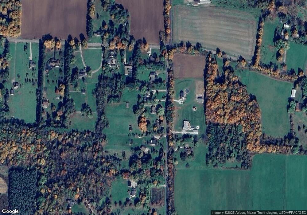
Map
Nearby Homes
- 6023 Pioneer Trail
- 10685 Limeridge Rd
- 11777 Abbott Rd
- 0 Ambler Ln Unit 5142203
- 11481 State Route 44
- 4603 W High St
- 11801 Kenyon Dr
- 6792 Bancroft St
- 11744 Peckham Ave
- 6846 Wakefield Rd
- 11606 Garfield Rd
- 0 Garfield Rd
- 11861 Garfield Rd
- 7000 Village Way Dr
- 7076 Village Way Dr
- 12698 Herr Dr
- 3783 Pioneer Trail
- 6994 Hankee Rd
- 4278 Dudley Rd
- 12167 Mantua Center Rd
- 11270 Vaughn Rd
- 11261 Vaughn Rd
- 11285 Vaughn Ave
- 11296 Vaughn Rd
- 11247 Vaughn Rd
- 11303 Vaughn Rd
- 11242 Vaughn Rd
- 5523 Pioneer Trail
- 5508 Pioneer Trail
- 5496 Pioneer Trail
- 31 Pioneer Trail
- 31 V/L Pioneer Trail
- 11211 Vaughn Rd
- 11195 Vaughn Rd
- 5462 Pioneer Trail
- 5503 Pioneer Trail
- 5477 Pioneer Trail
- 11171 Vaughn Rd
- 11159 Vaughn Rd
- 5438 Pioneer Trail
Your Personal Tour Guide
Ask me questions while you tour the home.