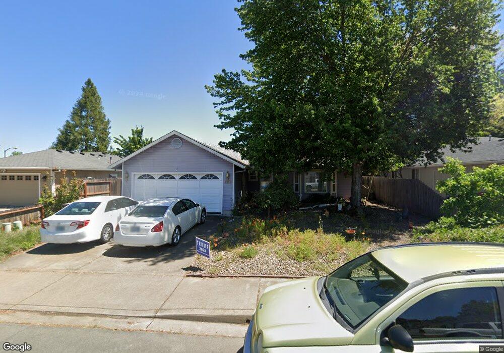
1128 Hampton Dr Central Point, OR 97502
Estimated Value: $367,000 - $412,000
About This Home
This home is located at 1128 Hampton Dr, Central Point, OR 97502 and is currently estimated at $382,728, approximately $294 per square foot. 1128 Hampton Dr is a home located in Jackson County with nearby schools including Central Point Elementary School, Scenic Middle School, and Crater High School.
Ownership History
We collect this data history from publicly available records. To have your information removed, we recommend requesting removal directly through your county’s website.
Purchase Details
Home Financials for this Owner
Home Financials are based on the most recent Mortgage that was taken out on this home.Purchase History
We collect this data history from publicly available records. To have your information removed, we recommend requesting removal directly through your county’s website.
| Date | Buyer | Sale Price | Title Company |
|---|---|---|---|
| $121,500 | Key Title Company |
Mortgage History
We collect this data history from publicly available records. To have your information removed, we recommend requesting removal directly through your county’s website.
| Date | Status | Borrower | Loan Amount |
|---|---|---|---|
| Open | $103,250 |
Tax History
We collect this data history from publicly available records. To have your information removed, we recommend requesting removal directly through your county’s website.
| Year | Tax Paid | Tax Assessment Tax Assessment Total Assessment is a certain percentage of the fair market value that is determined by local assessors to be the total taxable value of land and additions on the property. | Land | Improvement |
|---|---|---|---|---|
| 2026 | $3,131 | $189,230 | -- | -- |
| 2025 | $3,054 | $183,720 | $52,860 | $130,860 |
| 2024 | $3,054 | $178,370 | $51,320 | $127,050 |
| 2023 | $2,956 | $173,180 | $49,830 | $123,350 |
| 2022 | $2,887 | $173,180 | $49,830 | $123,350 |
| 2021 | $2,805 | $168,140 | $48,380 | $119,760 |
| 2020 | $2,723 | $163,250 | $46,970 | $116,280 |
| 2019 | $2,656 | $153,890 | $44,270 | $109,620 |
| 2018 | $2,575 | $149,410 | $42,980 | $106,430 |
| 2017 | $2,510 | $149,410 | $42,980 | $106,430 |
| 2016 | $2,437 | $140,840 | $40,510 | $100,330 |
| 2015 | $2,335 | $140,840 | $40,510 | $100,330 |
| 2014 | $2,276 | $132,760 | $38,190 | $94,570 |
Map
- 1111 Looking Glass Way
- 1104 Coachman Dr
- 959 Westrop Dr
- 1379 Circle Wood Dr
- 566 Village Dr Unit F23
- 786 Pittview Ave
- 512 Village Dr Unit B5
- 850 Forest Glen Dr
- 3364 Bursell Rd
- 460 Federal Way
- 3358 Bursell Rd
- 3086 Marilee St
- 3015 Merriman Rd Unit 12
- 659 Herman Ave
- 3490 1/2 Table Rock Rd Unit 1-43
- 2825 Howard Ave
- 2817 Howard Ave
- 421 Morningside St
- 400 Morningside St
- 166 Mace Rd
- 1124 Hampton Dr
- 1134 Hampton Dr
- 1175 White Chapel Dr
- 1179 White Chapel Dr
- 1171 White Chapel Dr
- 1181 White Chapel Dr
- 1127 Hampton Dr
- 1131 Hampton Dr
- 1123 Hampton Dr
- 1138 Hampton Dr
- 1108 Hampton Dr
- 1135 Hampton Dr
- 1185 White Chapel Dr
- 1125 Pittview Ave
- 1142 Hampton Dr
- 1087 Pittview Ave
- 1139 Hampton Dr
- 1106 Hampton Dr
- 1163 White Chapel Dr
- 1139 Mayfair Place
Ask me questions while you tour the home.