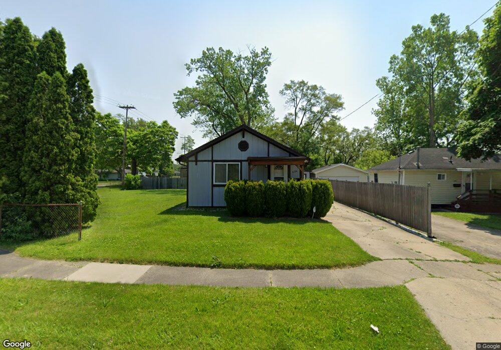
1128 Sutton Ave Flint, MI 48504
Ballenger Highway NeighborhoodEstimated Value: $47,000 - $61,000
2
Beds
1
Bath
900
Sq Ft
$58/Sq Ft
Est. Value
About This Home
This home is located at 1128 Sutton Ave, Flint, MI 48504 and is currently estimated at $52,368, approximately $58 per square foot. 1128 Sutton Ave is a home located in Genesee County with nearby schools including Durant-Tuuri-Mott Elementary School, Greater Heights Academy, and St. Paul Lutheran School.
Ownership History
Date
Name
Owned For
Owner Type
Purchase Details
Closed on
May 1, 2014
Sold by
Unuvar Mustafa U
Bought by
1128 Sutton Llc
Current Estimated Value
Purchase Details
Closed on
Aug 18, 2011
Sold by
Secretary Of Housing & Urban Development
Bought by
Unuvar Mustafa
Purchase Details
Closed on
Jun 15, 2011
Sold by
Jpmorgan Chase Bank National Association
Bought by
The Secretary Of Housing & Urban Develop
Purchase Details
Closed on
Sep 1, 2010
Sold by
Taylor Evelyn
Bought by
Chase Home Finance Llc
Purchase Details
Closed on
Nov 7, 2000
Sold by
Foster R Foster A and Foster R
Bought by
Taylor Evelyn
Create a Home Valuation Report for This Property
The Home Valuation Report is an in-depth analysis detailing your home's value as well as a comparison with similar homes in the area
Home Values in the Area
Average Home Value in this Area
Purchase History
| Date | Buyer | Sale Price | Title Company |
|---|---|---|---|
| 1128 Sutton Llc | -- | None Available | |
| Unuvar Mustafa | $5,261 | None Available | |
| The Secretary Of Housing & Urban Develop | -- | None Available | |
| Chase Home Finance Llc | $50,104 | None Available | |
| Taylor Evelyn | $44,400 | Sargents Title Company |
Source: Public Records
Tax History
| Year | Tax Paid | Tax Assessment Tax Assessment Total Assessment is a certain percentage of the fair market value that is determined by local assessors to be the total taxable value of land and additions on the property. | Land | Improvement |
|---|---|---|---|---|
| 2025 | $1,047 | $19,800 | $0 | $0 |
| 2024 | $972 | $15,100 | $0 | $0 |
| 2023 | $952 | $12,000 | $0 | $0 |
| 2022 | $0 | $10,000 | $0 | $0 |
| 2021 | $963 | $10,200 | $0 | $0 |
| 2020 | $889 | $10,700 | $0 | $0 |
| 2019 | $870 | $9,300 | $0 | $0 |
| 2018 | $877 | $10,000 | $0 | $0 |
| 2017 | $855 | $0 | $0 | $0 |
| 2016 | $889 | $0 | $0 | $0 |
| 2015 | -- | $0 | $0 | $0 |
| 2014 | -- | $0 | $0 | $0 |
| 2012 | -- | $13,200 | $0 | $0 |
Source: Public Records
Map
Nearby Homes
- 1133 Donaldson St
- 0 Donaldson St
- 3202 Flushing Rd
- 3071 Devonshire St
- 1271 Donaldson Blvd
- 3120 Stratford St
- 2944 Wolcott St
- 3228 Wolcott St
- 2902 Prospect St
- 3241 Walton Ave
- 3101 Barth St
- 1221 Eldorado Dr
- 2918 Mackin Rd
- 1402 Lavender Ave
- 1220 Forest Hill Ave
- 1119 River Valley Dr
- 2602 Sloan St
- 2547 Altoona St
- 2622 Concord St
- 2112 Winona St
- 1124 Sutton Ave
- 1131 Fulsom St
- 1127 Fulsom St
- 1123 Fulsom St
- 1152 Sutton Ave
- 1127 Sutton Ave
- 3101 Sloan St
- 3042 Sloan St
- 3108 Sloan St
- 1160 Sutton Ave
- 1132 Fulsom St
- 3042 Flushing Rd
- 3034 Sloan St
- 3030 Sloan St
- 1159 Sutton Ave
- 3117 Sloan St
- 3026 Sloan St
- 3026 Flushing Rd
- 3019 Sloan St
- 1124 Fulsom St
Your Personal Tour Guide
Ask me questions while you tour the home.