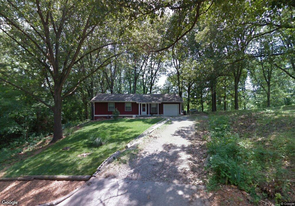
113 Rosedale St Cassville, MO 65625
Cassville AreaEstimated Value: $169,000 - $194,000
About This Home
This home is located at 113 Rosedale St, Cassville, MO 65625 and is currently estimated at $178,667, approximately $133 per square foot. 113 Rosedale St is a home located in Barry County with nearby schools including Eunice Thomas Elementary School, Cassville Intermediate School, and Cassville Middle School.
Ownership History
We collect this data history from publicly available records. To have your information removed, we recommend requesting removal directly through your county’s website.
Purchase Details
Home Financials for this Owner
Home Financials are based on the most recent Mortgage that was taken out on this home.Purchase Details
Home Financials for this Owner
Home Financials are based on the most recent Mortgage that was taken out on this home.Home Values in the Area
Average Home Value in this Area
Purchase History
We collect this data history from publicly available records. To have your information removed, we recommend requesting removal directly through your county’s website.
| Date | Buyer | Sale Price | Title Company |
|---|---|---|---|
| -- | None Available | ||
| -- | Security Abstract & Title |
Mortgage History
We collect this data history from publicly available records. To have your information removed, we recommend requesting removal directly through your county’s website.
| Date | Status | Borrower | Loan Amount |
|---|---|---|---|
| Closed | $50,000 | ||
| Closed | $85,200 | ||
| Previous Owner | $80,988 |
Tax History
We collect this data history from publicly available records. To have your information removed, we recommend requesting removal directly through your county’s website.
| Year | Tax Paid | Tax Assessment Tax Assessment Total Assessment is a certain percentage of the fair market value that is determined by local assessors to be the total taxable value of land and additions on the property. | Land | Improvement |
|---|---|---|---|---|
| 2025 | $638 | $14,003 | $2,090 | $11,913 |
| 2024 | $6 | $12,920 | $2,090 | $10,830 |
| 2023 | $589 | $12,920 | $2,090 | $10,830 |
| 2022 | $568 | $12,445 | $1,615 | $10,830 |
| 2020 | $570 | $12,445 | $1,615 | $10,830 |
| 2018 | $557 | $12,445 | $1,615 | $10,830 |
| 2017 | $556 | $12,445 | $1,615 | $10,830 |
| 2016 | $516 | $11,419 | $1,387 | $10,032 |
| 2015 | -- | $11,419 | $1,387 | $10,032 |
| 2014 | -- | $11,381 | $1,387 | $9,994 |
| 2012 | -- | $0 | $0 | $0 |
Map
- 1843 County Farm Rd
- 111 Amber St
- 1417 Oakhill Dr
- 1420 Oakhill Dr
- 1685 Presley Dr
- 1110 Lake Road Dr
- 000 Luney Dr
- 204 Mcfarland Ave
- 203 Mcfarland Ave Unit Lot 20
- 299 Blackberry Ct Unit Lot 19
- 305 Mcfarland Ave
- 301 Blackberry Ct Unit Lot 18
- 1102 Sapp St
- 304 W 14th St
- 10705 N Business Highway 37
- 000 Townsend West 9th
- 127 Sunset Heights Rd
- 408 High St
- 306 Gravel St
- 603 W 1st St
- 1845 County Farm Rd
- 111 Rosedale St
- 109 Rosedale St
- 114 Laray St
- 000 County Farm Rd
- 107 Rosedale St
- 1305 County Farm Rd
- Tbd County Farm Rd
- 0000 County Farm Rd
- 1155 County Farm Rd
- Xxx County Farm Rd
- 105 Rosedale St
- 110 Rosedale St
- 106 Rosedale St
- 104 Rosedale St
- 307 Valley St
- 517 Valley Dr
- 517 Valley St
- 101 Rosedale St
- 103 Keith St
Ask me questions while you tour the home.