113 Upper Crest Rd Greentown, PA 18426
Estimated Value: $303,628 - $390,000
3
Beds
2
Baths
1,567
Sq Ft
$221/Sq Ft
Est. Value
About This Home
This home is located at 113 Upper Crest Rd, Greentown, PA 18426 and is currently estimated at $346,814, approximately $221 per square foot. 113 Upper Crest Rd is a home with nearby schools including Wallenpaupack Area High School.
Ownership History
Date
Name
Owned For
Owner Type
Purchase Details
Closed on
Mar 5, 2020
Sold by
Cass Bronson L
Bought by
Cass Bronson L
Current Estimated Value
Purchase Details
Closed on
Dec 8, 2015
Sold by
Cass Bronson L
Bought by
Cass Bronson L and Cass Melissa Ann
Home Financials for this Owner
Home Financials are based on the most recent Mortgage that was taken out on this home.
Original Mortgage
$121,600
Interest Rate
3.77%
Mortgage Type
New Conventional
Purchase Details
Closed on
Sep 3, 2015
Sold by
Cass Bronson L
Bought by
Cass Bronson L
Create a Home Valuation Report for This Property
The Home Valuation Report is an in-depth analysis detailing your home's value as well as a comparison with similar homes in the area
Home Values in the Area
Average Home Value in this Area
Purchase History
We collect this data history from publicly available records. To have your information removed, we recommend requesting removal directly through your county’s website.
| Date | Buyer | Sale Price | Title Company |
|---|---|---|---|
| Cass Bronson L | -- | None Available | |
| Cass Bronson L | -- | Attorney | |
| Cass Bronson L | -- | Attorney |
Source: Public Records
Mortgage History
We collect this data history from publicly available records. To have your information removed, we recommend requesting removal directly through your county’s website.
| Date | Status | Borrower | Loan Amount |
|---|---|---|---|
| Closed | Cass Bronson L | $121,600 |
Source: Public Records
Tax History
| Year | Tax Paid | Tax Assessment Tax Assessment Total Assessment is a certain percentage of the fair market value that is determined by local assessors to be the total taxable value of land and additions on the property. | Land | Improvement |
|---|---|---|---|---|
| 2025 | $3,649 | $32,670 | $3,830 | $28,840 |
| 2024 | $3,649 | $32,670 | $3,830 | $28,840 |
| 2023 | $3,510 | $32,670 | $3,830 | $28,840 |
| 2022 | $3,428 | $32,670 | $3,830 | $28,840 |
| 2021 | $2,373 | $23,280 | $3,830 | $19,450 |
| 2020 | $2,340 | $22,950 | $3,500 | $19,450 |
| 2019 | $2,264 | $22,950 | $3,500 | $19,450 |
| 2018 | $2,203 | $22,950 | $3,500 | $19,450 |
| 2017 | $2,121 | $22,950 | $3,500 | $19,450 |
| 2016 | $0 | $14,070 | $3,500 | $10,570 |
| 2015 | -- | $14,070 | $3,500 | $10,570 |
| 2014 | -- | $14,070 | $3,500 | $10,570 |
Source: Public Records
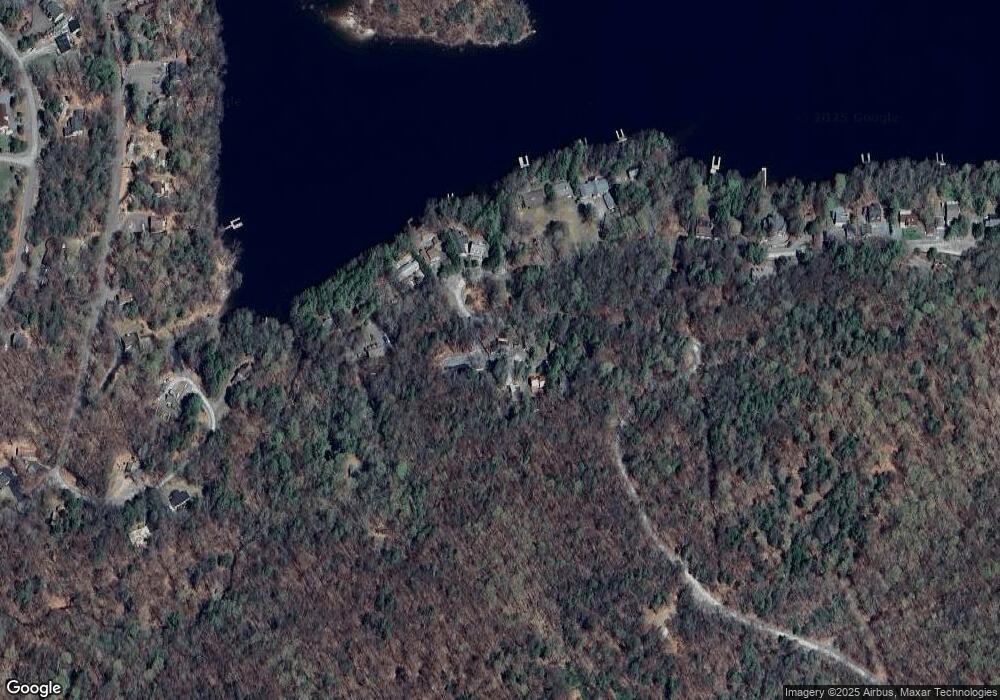
Map
Nearby Homes
- 108 Uppercrest Rd
- 142 Waterfront Dr
- 137 Marina Way
- 114 Buckhead Park Cir
- 155 Forrest St
- 137 Oak Dr
- 100 S Granite Dr
- 172 Granite Dr
- 305 Laurel Ln
- 117 Teak Dr
- 200 Laurel Ln
- 147 Spruce St
- 115 Spruce St
- 121 Big Woods II Rd
- 41 Deerfoot Rd
- Lot 593 Tamarack Ln
- 49 White Pine Cir
- 104 Al Wa da Ct
- 617 Red Cedar Rd
- 0 Quaking Aspen Ln
- 105 Waterfront Dr
- 112 Upper Crest Rd
- 111 Upper Crest Rd
- 110 Upper Crest Rd
- 109 Upper Crest Rd
- 106 Waterfront Dr
- 104 Waterfront Dr
- 106 Waterfront Dr
- 108 Waterfront Dr
- 108 Upper Crest Rd
- 4 Waterfront Dr
- 110 Waterfront Dr
- 0 Ursula Ct
- 102 Waterfront Dr
- 100 Waterfront Dr
- 116 Waterfront Dr
- 109 Ursula Ct
- 118 Waterfront Dr
- 111 Ursula Ct
- 115 Lookout Cir
Your Personal Tour Guide
Ask me questions while you tour the home.