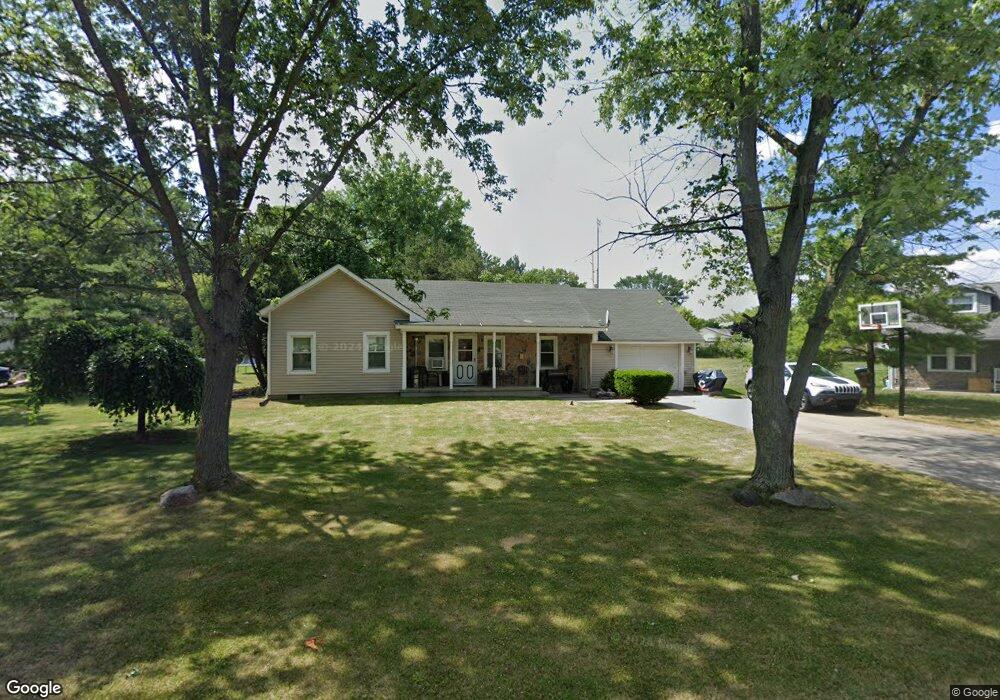
113 W Chestnut Ct Wauseon, OH 43567
Estimated Value: $140,000 - $173,000
4
Beds
2
Baths
1,417
Sq Ft
$106/Sq Ft
Est. Value
About This Home
This home is located at 113 W Chestnut Ct, Wauseon, OH 43567 and is currently estimated at $149,726, approximately $105 per square foot. 113 W Chestnut Ct is a home located in Fulton County with nearby schools including Wauseon Primary School, Wauseon Elementary School, and Wauseon Middle School.
Ownership History
Date
Name
Owned For
Owner Type
Purchase Details
Closed on
May 14, 2001
Sold by
Baker Donald R
Bought by
Barajas Jose G and Rodriguez Madalyn S
Current Estimated Value
Home Financials for this Owner
Home Financials are based on the most recent Mortgage that was taken out on this home.
Original Mortgage
$82,867
Outstanding Balance
$28,208
Interest Rate
6.99%
Mortgage Type
New Conventional
Estimated Equity
$121,518
Purchase Details
Closed on
Oct 3, 1995
Sold by
Hartman Stephen J
Bought by
Baker Donald R and Baker Heidi L
Home Financials for this Owner
Home Financials are based on the most recent Mortgage that was taken out on this home.
Original Mortgage
$49,900
Interest Rate
7.5%
Mortgage Type
New Conventional
Purchase Details
Closed on
Jan 1, 1990
Bought by
Baker Donald R and Baker Heidi L
Create a Home Valuation Report for This Property
The Home Valuation Report is an in-depth analysis detailing your home's value as well as a comparison with similar homes in the area
Home Values in the Area
Average Home Value in this Area
Purchase History
| Date | Buyer | Sale Price | Title Company |
|---|---|---|---|
| Barajas Jose G | $85,000 | -- | |
| Baker Donald R | $62,400 | -- | |
| Baker Donald R | -- | -- |
Source: Public Records
Mortgage History
| Date | Status | Borrower | Loan Amount |
|---|---|---|---|
| Open | Barajas Jose G | $82,867 | |
| Previous Owner | Baker Donald R | $49,900 |
Source: Public Records
Tax History
| Year | Tax Paid | Tax Assessment Tax Assessment Total Assessment is a certain percentage of the fair market value that is determined by local assessors to be the total taxable value of land and additions on the property. | Land | Improvement |
|---|---|---|---|---|
| 2025 | $1,875 | $38,880 | $9,590 | $29,290 |
| 2024 | $1,870 | $38,890 | $9,590 | $29,300 |
| 2023 | $1,933 | $38,890 | $9,590 | $29,300 |
| 2022 | $1,734 | $29,680 | $7,980 | $21,700 |
| 2021 | $1,838 | $29,680 | $7,980 | $21,700 |
| 2020 | $1,702 | $29,680 | $7,980 | $21,700 |
| 2019 | $1,531 | $26,180 | $8,120 | $18,060 |
| 2018 | $823 | $26,180 | $8,120 | $18,060 |
| 2017 | $1,051 | $26,180 | $8,120 | $18,060 |
| 2016 | $1,347 | $23,840 | $8,120 | $15,720 |
| 2015 | $1,327 | $23,840 | $8,120 | $15,720 |
| 2014 | $1,260 | $23,840 | $8,120 | $15,720 |
| 2013 | $1,575 | $27,520 | $6,480 | $21,040 |
Source: Public Records
Map
Nearby Homes
- 263 W Chestnut St
- 252 W Chestnut St
- 218 Ironton St
- 231 W Chestnut St
- 594 Douglas Dr
- 420 Clover Ln
- 203 E Leggett St
- 203 E Oak St
- 744 Fairway Dr Unit 29
- 744 Fairway Dr Unit 26
- 749 Parkside Dr
- 525 3rd St
- 316 E Oak St
- 150 N Shoop Ave
- 635 E Leggett St
- 414 Edgewood Dr
- 940 Fairway Ln
- 390 Virginia Dr
- 0 Cole (Rear) St Unit 10006039
- 1338 N Park Ln
- 101 W Chestnut Ct
- 517 W Chestnut St
- 104 W Chestnut Ct
- 102 W Chestnut Ct
- 506 W Chestnut St
- 515 W Chestnut St
- 406 W Chestnut St
- 408 W Chestnut St
- 402 W Chestnut St
- 504 W Chestnut St
- 513 W Chestnut St
- 511 W Chestnut St
- 419 W Elm St
- 435 W Chestnut St
- 501 W Chestnut St
- 507 W Chestnut St
- 405 W Chestnut St
- 407 W Chestnut St
- 110 S Brunell St
- 413 W Elm St
Your Personal Tour Guide
Ask me questions while you tour the home.