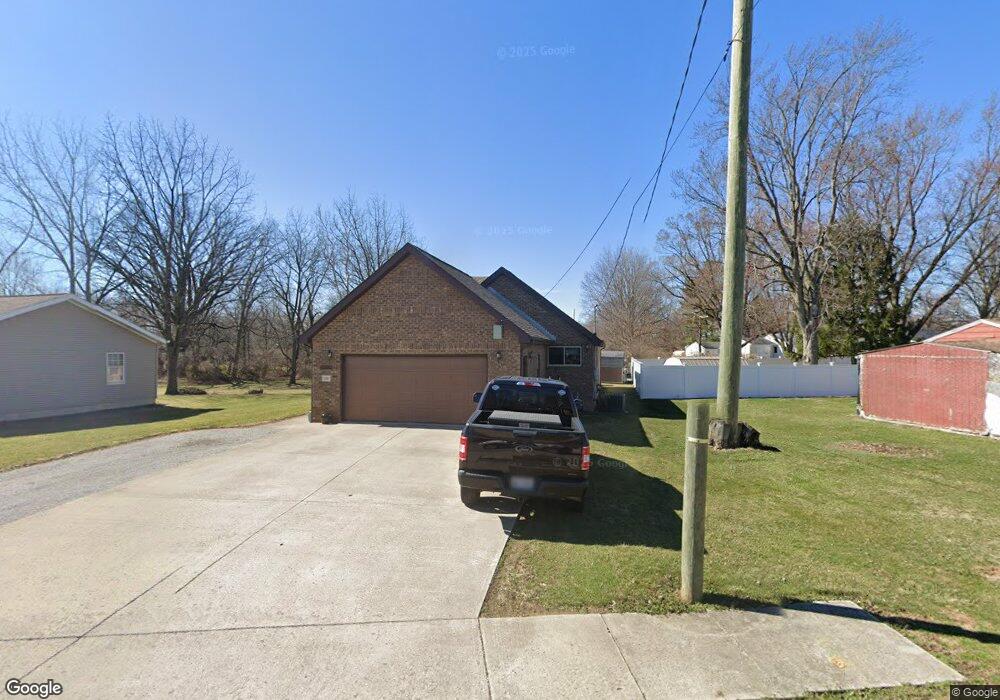
1132 Brookside Dr Findlay, OH 45840
Estimated Value: $208,000 - $242,605
About This Home
This home is located at 1132 Brookside Dr, Findlay, OH 45840 and is currently estimated at $228,401, approximately $173 per square foot. 1132 Brookside Dr is a home located in Hancock County with nearby schools including Whittier Elementary School, Wilson Vance Elementary School, and Donnell Middle School.
Ownership History
We collect this data history from publicly available records. To have your information removed, we recommend requesting removal directly through your county’s website.
Purchase Details
Purchase Details
Home Financials for this Owner
Home Financials are based on the most recent Mortgage that was taken out on this home.Home Values in the Area
Average Home Value in this Area
Purchase History
We collect this data history from publicly available records. To have your information removed, we recommend requesting removal directly through your county’s website.
| Date | Buyer | Sale Price | Title Company |
|---|---|---|---|
| $75,000 | -- | ||
| $95,000 | -- |
Mortgage History
We collect this data history from publicly available records. To have your information removed, we recommend requesting removal directly through your county’s website.
| Date | Status | Borrower | Loan Amount |
|---|---|---|---|
| Previous Owner | $92,280 |
Tax History
We collect this data history from publicly available records. To have your information removed, we recommend requesting removal directly through your county’s website.
| Year | Tax Paid | Tax Assessment Tax Assessment Total Assessment is a certain percentage of the fair market value that is determined by local assessors to be the total taxable value of land and additions on the property. | Land | Improvement |
|---|---|---|---|---|
| 2025 | $3,020 | $98,520 | $4,720 | $93,800 |
| 2024 | $2,573 | $72,440 | $3,470 | $68,970 |
| 2023 | $2,577 | $72,440 | $3,470 | $68,970 |
| 2022 | $2,568 | $72,440 | $3,470 | $68,970 |
| 2021 | $2,309 | $56,730 | $3,160 | $53,570 |
| 2020 | $2,309 | $56,730 | $3,160 | $53,570 |
| 2019 | $2,262 | $56,730 | $3,160 | $53,570 |
| 2018 | $2,151 | $49,450 | $2,870 | $46,580 |
| 2017 | $1,075 | $49,450 | $2,870 | $46,580 |
| 2016 | $2,120 | $49,450 | $2,870 | $46,580 |
| 2015 | $1,728 | $39,510 | $2,870 | $36,640 |
| 2014 | $1,728 | $39,510 | $2,870 | $36,640 |
| 2012 | $1,742 | $39,510 | $2,870 | $36,640 |
Map
- 1105 1st St
- 1125 S Blanchard St
- 0 Blanchard Ave
- 15586 Canadian Way
- 825 Morse St
- 1163 Lye Creek Dr
- 680 Colt Dr
- 1210 South St
- 1463 Misty Oaks Dr
- 1730 Park St
- 1809 Park St
- 127 1st St
- 853 Beech Ave
- 119 Greenlawn Ave
- 1041 S Main St
- 804 Hunters Creek Dr
- 505 Flintlock Ct
- 1200 S Main St
- 300 Mohican Rd
- 835 S Main St
- 1140 Brookside Dr
- 1141 Brookside Dr
- 1001 Brookview Ct
- 1137 Brookside Dr
- 1006 Brookview Ct
- 1005 Brookview Ct
- 1401 Blanchard Ave
- 922 3rd St
- 1133 Brookside Dr
- 1012 Brookview Ct
- 1409 Blanchard Ave
- 1235 Brookside Dr
- 1009 Brookview Ct
- 1319 Blanchard Ave
- 1413 Blanchard Ave
- 1000 Breezewood Ct
- 1417 Blanchard Ave
- 1008 Breezewood Ct
- 1015 Brookview Ct
- 1315 Blanchard Ave
Ask me questions while you tour the home.