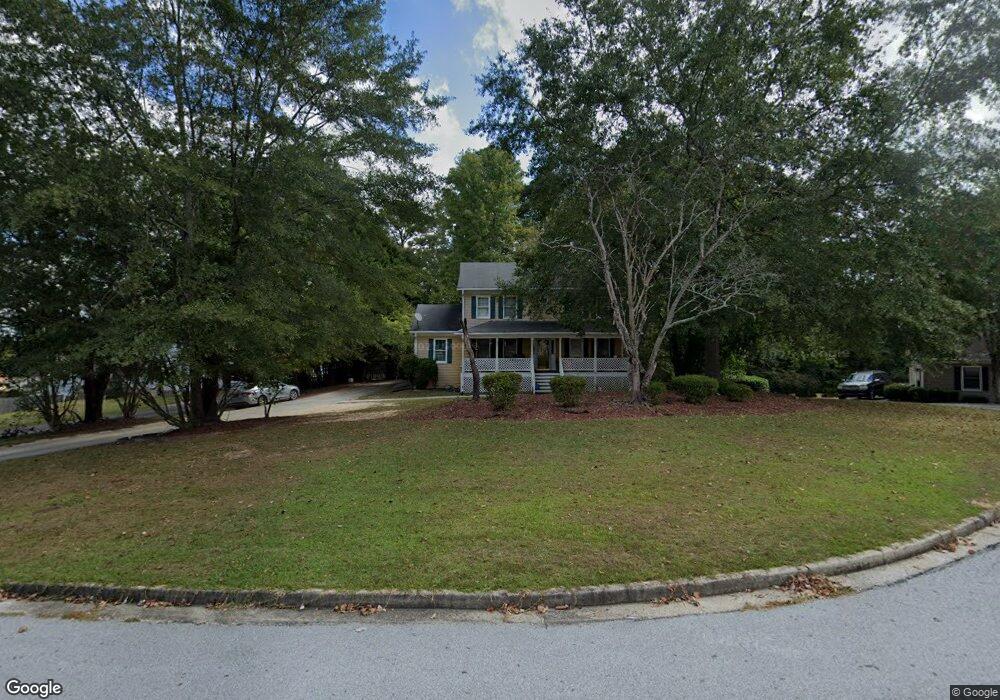
1132 Michael Ct Lithonia, GA 30058
Estimated Value: $266,000 - $294,000
3
Beds
3
Baths
1,866
Sq Ft
$151/Sq Ft
Est. Value
About This Home
This home is located at 1132 Michael Ct, Lithonia, GA 30058 and is currently estimated at $281,651, approximately $150 per square foot. 1132 Michael Ct is a home located in DeKalb County with nearby schools including Princeton Elementary School, Stephenson Middle School, and Stephenson High School.
Ownership History
Date
Name
Owned For
Owner Type
Purchase Details
Closed on
May 17, 2004
Sold by
Williams Douglas
Bought by
Wright Edward J
Current Estimated Value
Home Financials for this Owner
Home Financials are based on the most recent Mortgage that was taken out on this home.
Original Mortgage
$151,800
Outstanding Balance
$73,120
Interest Rate
5.89%
Mortgage Type
New Conventional
Estimated Equity
$208,531
Purchase Details
Closed on
Mar 30, 1995
Sold by
Robinson Kurt M Elizabeth
Bought by
Williams Douglas Yvonne T
Create a Home Valuation Report for This Property
The Home Valuation Report is an in-depth analysis detailing your home's value as well as a comparison with similar homes in the area
Home Values in the Area
Average Home Value in this Area
Purchase History
| Date | Buyer | Sale Price | Title Company |
|---|---|---|---|
| Wright Edward J | $153,000 | -- | |
| Williams Douglas Yvonne T | $114,000 | -- |
Source: Public Records
Mortgage History
| Date | Status | Borrower | Loan Amount |
|---|---|---|---|
| Open | Wright Edward J | $151,800 | |
| Closed | Williams Douglas Yvonne T | $0 |
Source: Public Records
Tax History
| Year | Tax Paid | Tax Assessment Tax Assessment Total Assessment is a certain percentage of the fair market value that is determined by local assessors to be the total taxable value of land and additions on the property. | Land | Improvement |
|---|---|---|---|---|
| 2025 | $873 | $115,160 | $16,000 | $99,160 |
| 2024 | $3,331 | $114,920 | $16,000 | $98,920 |
| 2023 | $3,331 | $102,200 | $5,160 | $97,040 |
Source: Public Records
Map
Nearby Homes
- 7001 Deshon Ridge Dr
- 7015 Brecken Trace
- 6820 Yorkdale Ct
- 1777 Cutters Mill Way
- 7169 Sweet Gum Ct
- 7074 Brecken Place
- 1086 Deshon Trail
- 1373 Rogers Trace
- 6797 Lombard Ct
- 1188 Woodfield Trace
- 1343 Alice Ave
- 6973 Kimberland Gardens Ln
- 1746 Spring Hill Cove
- 6925 Kimberland Gardens Ln
- 2146 Mulberry Ln Unit 2
- 1727 Spring Hill Cove
- 7129 Timberland Trail
- 1255 Chinon Point
- 1596 Cutters Mill Dr
- 7211 Wheeler Trail
- 1122 Michael Ct
- 1140 Michael Ct
- 1240 Justin Ln
- 1141 Michael Ct
- 1242 Justin Ln
- 1135 Michael Ct
- 1127 Michael Ct
- 1112 Michael Ct
- 6977 Kevin Ct
- 1119 Michael Ct
- 1139 Michael Ct
- 6985 Kevin Ct
- 1234 Justin Ln
- 6953 Kevin Ct
- 6993 Kevin Ct
- 1243 Justin Ln
- 1222 Justin Ln
- 1128 Justin Ln
- 1138 Justin Ln
- 1118 Justin Ln
Your Personal Tour Guide
Ask me questions while you tour the home.