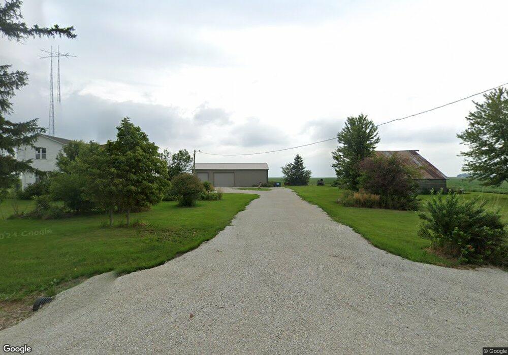
1134 E 2100 North Rd Danforth, IL 60930
Estimated Value: $222,788 - $369,000
Studio
--
Bath
--
Sq Ft
68,825
Sq Ft Lot
About This Home
This home is located at 1134 E 2100 North Rd, Danforth, IL 60930 and is currently estimated at $302,197. 1134 E 2100 North Rd is a home located in Iroquois County with nearby schools including Iroquois West Elementary School/Danforth, Iroquois West Elementary School/Thawville, and Iroquois West Middle School.
Ownership History
Date
Name
Owned For
Owner Type
Purchase Details
Closed on
Jun 26, 2017
Sold by
Ruder Michael J and Ruder Jennifer L
Bought by
Krones Steven F and Krones Debra A
Current Estimated Value
Home Financials for this Owner
Home Financials are based on the most recent Mortgage that was taken out on this home.
Original Mortgage
$295,000
Outstanding Balance
$228,614
Interest Rate
4.05%
Mortgage Type
Purchase Money Mortgage
Estimated Equity
$73,583
Create a Home Valuation Report for This Property
The Home Valuation Report is an in-depth analysis detailing your home's value as well as a comparison with similar homes in the area
Purchase History
| Date | Buyer | Sale Price | Title Company |
|---|---|---|---|
| Krones Steven F | $204,000 | None Available |
Source: Public Records
Mortgage History
| Date | Status | Borrower | Loan Amount |
|---|---|---|---|
| Open | Krones Steven F | $295,000 |
Source: Public Records
Tax History
| Year | Tax Paid | Tax Assessment Tax Assessment Total Assessment is a certain percentage of the fair market value that is determined by local assessors to be the total taxable value of land and additions on the property. | Land | Improvement |
|---|---|---|---|---|
| 2024 | $4,261 | $67,170 | $11,730 | $55,440 |
| 2023 | $4,261 | $61,620 | $10,760 | $50,860 |
| 2022 | $3,861 | $58,130 | $10,150 | $47,980 |
| 2021 | $3,270 | $49,690 | $8,680 | $41,010 |
| 2020 | $3,160 | $46,300 | $8,090 | $38,210 |
| 2019 | $3,104 | $44,770 | $7,820 | $36,950 |
| 2018 | $3,044 | $43,610 | $7,620 | $35,990 |
| 2017 | $3,085 | $42,840 | $7,490 | $35,350 |
| 2016 | $3,121 | $42,840 | $7,490 | $35,350 |
| 2015 | $3,050 | $42,310 | $7,400 | $34,910 |
| 2014 | $3,050 | $41,550 | $7,270 | $34,280 |
| 2013 | $2,469 | $43,380 | $7,590 | $35,790 |
Source: Public Records
Map
Nearby Homes
- 2018 N US Highway 45
- 308 Jefferson St
- 112 North St
- 410 N Colfax St
- 309 N Colfax St
- 601 N Church St
- 206 S Cherry St
- E 2000 N Rd
- 1500 E 2400 Rd N Unit 66
- 410 E Main St
- 224 N Maple St
- Sec7 Twp26n R10e Rd
- 116 N Main St
- 404 S Maple St
- 316 N Commerce St
- 97.49 acres 2700 North Rd
- 107 S Clinton St
- 507 N Secor St
- 209 E Lafayette St
- 322 N Peoria St
Your Personal Tour Guide
Ask me questions while you tour the home.