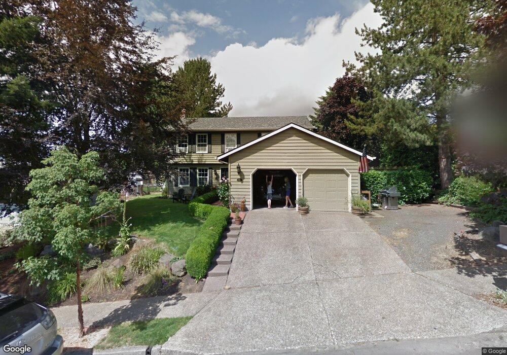
1134 SW Chastain Dr Gresham, OR 97080
Gresham Butte NeighborhoodEstimated Value: $520,248 - $578,000
4
Beds
3
Baths
2,224
Sq Ft
$246/Sq Ft
Est. Value
About This Home
This home is located at 1134 SW Chastain Dr, Gresham, OR 97080 and is currently estimated at $546,812, approximately $245 per square foot. 1134 SW Chastain Dr is a home located in Multnomah County with nearby schools including Dexter McCarty Middle School, Gresham High School, and Gresham Arthur Academy.
Ownership History
Date
Name
Owned For
Owner Type
Purchase Details
Closed on
Jun 2, 2003
Sold by
Windell Brian R
Bought by
Lasher Joseph Anthony and Lasher Heidi Hynen
Current Estimated Value
Home Financials for this Owner
Home Financials are based on the most recent Mortgage that was taken out on this home.
Original Mortgage
$183,900
Outstanding Balance
$79,461
Interest Rate
5.71%
Mortgage Type
Purchase Money Mortgage
Estimated Equity
$467,351
Purchase Details
Closed on
Jun 9, 1998
Sold by
Dickman James A and Dickman Debby G
Bought by
Windell Brian R and Windell Heather L
Create a Home Valuation Report for This Property
The Home Valuation Report is an in-depth analysis detailing your home's value as well as a comparison with similar homes in the area
Home Values in the Area
Average Home Value in this Area
Purchase History
| Date | Buyer | Sale Price | Title Company |
|---|---|---|---|
| Lasher Joseph Anthony | $229,900 | First American | |
| Windell Brian R | $182,000 | Oregon Title Insurance Co |
Source: Public Records
Mortgage History
| Date | Status | Borrower | Loan Amount |
|---|---|---|---|
| Open | Lasher Joseph Anthony | $183,900 | |
| Closed | Lasher Joseph Anthony | $45,980 |
Source: Public Records
Tax History
| Year | Tax Paid | Tax Assessment Tax Assessment Total Assessment is a certain percentage of the fair market value that is determined by local assessors to be the total taxable value of land and additions on the property. | Land | Improvement |
|---|---|---|---|---|
| 2025 | $6,502 | $319,510 | -- | -- |
| 2024 | $6,224 | $310,210 | -- | -- |
| 2023 | $5,671 | $301,180 | $0 | $0 |
| 2022 | $5,512 | $292,410 | $0 | $0 |
| 2021 | $5,373 | $283,900 | $0 | $0 |
| 2020 | $5,056 | $275,640 | $0 | $0 |
| 2019 | $4,923 | $267,620 | $0 | $0 |
| 2018 | $4,695 | $259,830 | $0 | $0 |
| 2017 | $4,504 | $252,270 | $0 | $0 |
| 2016 | $3,971 | $244,930 | $0 | $0 |
Source: Public Records
Map
Nearby Homes
- 1175 SW Chastain Dr
- 1472 SW 14th St
- 1488 SW 17th Ct Unit N
- 1488 SW 17th Ct
- 1960 SW 13th Ct
- 1829 SW 17th St
- 1859 SW Angeline Ave
- 1333 SW 19th Dr
- 1880 SW Heiney Rd
- 1407 SW Walters Dr
- 1441 SW 23rd Ct
- 1261 SW Binford Lake Pkwy
- 159 SW Florence Ave Unit 64
- 159 SW Florence Ave
- 2520 SW Towle Ave
- 0 SW Miller Ct Unit 470855683
- 44 SW Birdsdale Dr
- 1963 SW Myers Place
- 1278 SW 27th Ct
- 21 NW Mawrcrest Ave
- 1122 SW Chastain Dr
- 1150 SW Chastain Dr
- 1031 SW Wallula Dr
- 1065 SW Wallula Dr
- 1106 SW Chastain Dr
- 1129 SW Chastain Dr
- 1356 SW 10th Dr
- 1141 SW Chastain Dr
- 1129 SW Wallula Dr
- 1173 SW Wallula Dr
- 1163 SW Chastain Dr
- 1378 SW 10th Dr
- 1092 SW Chastain Dr
- 1310 SW Chastain Place
- 1187 SW Chastain Dr
- 1288 SW 10th Dr
- 1305 SW Chastain Ct
- 1040 SW Chastain Dr
- 1302 SW Chastain Ct
- 1215 SW Wallula Dr
Your Personal Tour Guide
Ask me questions while you tour the home.