1138 Lindsey Rd Springfield, OH 45503
Estimated Value: $192,000 - $203,000
2
Beds
2
Baths
1,300
Sq Ft
$151/Sq Ft
Est. Value
About This Home
This home is located at 1138 Lindsey Rd, Springfield, OH 45503 and is currently estimated at $196,556, approximately $151 per square foot. 1138 Lindsey Rd is a home located in Clark County with nearby schools including Northridge Elementary School, Kenton Ridge Middle & High School, and Emmanuel Christian Academy.
Ownership History
Date
Name
Owned For
Owner Type
Purchase Details
Closed on
Aug 31, 2011
Sold by
Wright Michael W and Wright Cynthia D
Bought by
Wallace Phyllis
Current Estimated Value
Purchase Details
Closed on
Dec 22, 2006
Sold by
Fromm Clyde E and Fromm Martha J
Bought by
Wright Michael W and Wright Cynthia D
Home Financials for this Owner
Home Financials are based on the most recent Mortgage that was taken out on this home.
Original Mortgage
$64,000
Interest Rate
6.24%
Mortgage Type
Purchase Money Mortgage
Purchase Details
Closed on
Oct 16, 1990
Bought by
Fromm Clyde E and Fromm Martha J
Create a Home Valuation Report for This Property
The Home Valuation Report is an in-depth analysis detailing your home's value as well as a comparison with similar homes in the area
Home Values in the Area
Average Home Value in this Area
Purchase History
| Date | Buyer | Sale Price | Title Company |
|---|---|---|---|
| Wallace Phyllis | $94,000 | Attorney | |
| Wright Michael W | $57,000 | Attorney | |
| Wright Michael W | $57,000 | Attorney | |
| Fromm Clyde E | $63,900 | -- |
Source: Public Records
Mortgage History
| Date | Status | Borrower | Loan Amount |
|---|---|---|---|
| Previous Owner | Wright Michael W | $64,000 |
Source: Public Records
Tax History
| Year | Tax Paid | Tax Assessment Tax Assessment Total Assessment is a certain percentage of the fair market value that is determined by local assessors to be the total taxable value of land and additions on the property. | Land | Improvement |
|---|---|---|---|---|
| 2025 | $1,729 | $53,830 | $7,350 | $46,480 |
| 2024 | $1,671 | $40,730 | $6,300 | $34,430 |
| 2023 | $1,671 | $40,730 | $6,300 | $34,430 |
| 2022 | $1,677 | $40,730 | $6,300 | $34,430 |
| 2021 | $1,723 | $35,870 | $5,250 | $30,620 |
| 2020 | $1,725 | $35,870 | $5,250 | $30,620 |
| 2019 | $1,760 | $35,870 | $5,250 | $30,620 |
| 2018 | $1,638 | $32,320 | $5,570 | $26,750 |
| 2017 | $1,393 | $30,835 | $5,565 | $25,270 |
| 2016 | $1,382 | $30,835 | $5,565 | $25,270 |
| 2015 | $1,246 | $30,520 | $5,250 | $25,270 |
| 2014 | $1,246 | $30,520 | $5,250 | $25,270 |
| 2013 | $1,244 | $30,520 | $5,250 | $25,270 |
Source: Public Records
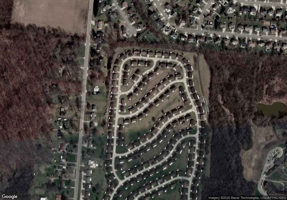
Map
Nearby Homes
- 1136 Foxboro Rd Unit 202
- 3052 Brixton Dr E
- 1013 Abington Place
- 1039 Bradford Dr Unit 42
- 1031 Armsgate Rd Unit 11
- 1201 Kingsgate Rd
- 3631 Kingsgate Ln
- 1500 Kingsgate Rd Unit 19430
- 1502 Kingsgate Rd Unit 19432
- 1500 Kingsgate Rd
- 1502 Kingsgate Rd
- 1503 Kingsgate Rd
- 1505 Kingsgate Rd
- 1507 Kingsgate Rd
- 3211 Haverhill St
- 3124 El Camino Dr
- 615 Villa Rd Unit B
- 3135 Imperial Blvd
- 3112 El Camino Dr
- 1404 Providence Ave
- 1138 Lindsey Rd Unit 227
- 1136 Lindsey Rd Unit 226
- 1140 Lindsey Rd Unit 228
- 1139 Lindsey Rd Unit 217
- 1135 Derby Rd
- 1137 Lindsey Rd
- 1133 Derby Rd
- 1141 Lindsey Rd
- 1142 Lindsey Rd
- 1134 Lindsey Rd Unit 225
- 1137 Derby Rd
- 1135 Lindsey Rd Unit 219
- 1143 Lindsey Rd
- 1143 Lindsey Rd Unit 2115
- 3086 Brixton Dr W
- 3086 Brixton Dr W
- 1139 Derby Rd
- 1144 Lindsey Rd Unit 230
- 1133 Lindsey Rd Unit 220
- 3082 Brixton Dr W
Your Personal Tour Guide
Ask me questions while you tour the home.