11392 Shelley Rd Gentry, AR 72734
Estimated Value: $261,000 - $644,000
Studio
1
Bath
1,275
Sq Ft
$310/Sq Ft
Est. Value
About This Home
This home is located at 11392 Shelley Rd, Gentry, AR 72734 and is currently estimated at $394,922, approximately $309 per square foot. 11392 Shelley Rd is a home located in Benton County with nearby schools including Gentry Intermediate School, Gentry Primary School, and Gentry Middle School.
Ownership History
Date
Name
Owned For
Owner Type
Purchase Details
Closed on
Jun 2, 2025
Sold by
Philpott William W and Philpott Ercille
Bought by
Kenyon Jonathan and Kenyon Candace
Current Estimated Value
Purchase Details
Closed on
Jun 13, 1995
Bought by
Dove
Purchase Details
Closed on
Feb 21, 1973
Bought by
Philpott
Create a Home Valuation Report for This Property
The Home Valuation Report is an in-depth analysis detailing your home's value as well as a comparison with similar homes in the area
Purchase History
We collect this data history from publicly available records. To have your information removed, we recommend requesting removal directly through your county’s website.
| Date | Buyer | Sale Price | Title Company |
|---|---|---|---|
| Kenyon Jonathan | -- | None Listed On Document | |
| Dove | $25,000 | -- | |
| Philpott | -- | -- |
Source: Public Records
Tax History
| Year | Tax Paid | Tax Assessment Tax Assessment Total Assessment is a certain percentage of the fair market value that is determined by local assessors to be the total taxable value of land and additions on the property. | Land | Improvement |
|---|---|---|---|---|
| 2025 | $614 | $30,097 | $4,991 | $25,106 |
| 2024 | $601 | $30,120 | $5,014 | $25,106 |
| 2023 | $601 | $18,480 | $3,000 | $15,480 |
| 2022 | $264 | $18,480 | $3,000 | $15,480 |
| 2021 | $262 | $18,480 | $3,000 | $15,480 |
| 2020 | $261 | $14,000 | $1,770 | $12,230 |
| 2019 | $261 | $14,000 | $1,770 | $12,230 |
| 2018 | $286 | $14,000 | $1,770 | $12,230 |
| 2017 | $284 | $14,000 | $1,770 | $12,230 |
| 2016 | $284 | $14,000 | $1,770 | $12,230 |
| 2015 | $596 | $11,910 | $1,500 | $10,410 |
| 2014 | $246 | $12,020 | $1,500 | $10,520 |
Source: Public Records
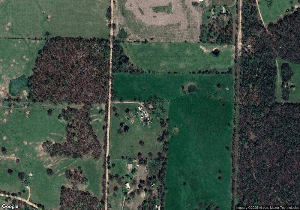
Map
Nearby Homes
- 1329 Bates St
- 18955 Shankle Rd
- 19161 Old Springtown Rd
- 12129 Roy Jech Farm Rd
- 828 Brook St
- 716 Vista St
- 2125 Carlisle St
- 812 Vista St
- 12315 Fairmount Rd
- 1005 Clearspring Ct
- 2008 Maple Ct
- 2100 Brown Bear Ln
- 2213 Brown Bear Ln
- 2104 Brown Bear Ln
- 11771 Bredehoeft Rd
- 12029 S Edmondson Rd
- 371 S Virginia Ave
- 12041 S Robin Rd
- 190 Allen Ave
- 9.09 Acres E 3rd St Hwy 12
- 0 Hwy 12w & Hwy 264 Unit 1083657
- 13.96 Acres Hwy 264 Rd
- 10AC-Tract 2 W Aubrey Long Rd
- 10AC-Tract 1 W Aubrey Long Rd
- 20AC W Aubrey Long Rd
- 0000 4th St
- 40 Acres M L Ruby Hall Rd
- 3.28AC Robin Rd & Hwy 59
- 00 Mc 7001
- 0 Hwy 12w & Hwy 264 Unit 1083660
- 312 NW 5th St
- 536 Ac W 264 Hwy
- 40.168 Ac W 264 Hwy
- 19.5 Acres 264 Hwy
- 360 Acres 43 Hwy
- 12087 Key West Salvage Rd
- 38 Acres W 264 Hwy
- 68 Acres W 264 Hwy
- 67 Acres W 264 Hwy
- 69 Acres W 264 Hwy
Your Personal Tour Guide
Ask me questions while you tour the home.