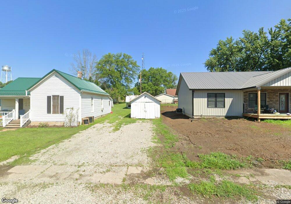
114 4th St Unit 90 Pilot Grove, MO 65276
Estimated Value: $223,000 - $251,000
2
Beds
--
Bath
1,084
Sq Ft
$222/Sq Ft
Est. Value
About This Home
This home is located at 114 4th St Unit 90, Pilot Grove, MO 65276 and is currently estimated at $241,109, approximately $222 per square foot. 114 4th St Unit 90 is a home located in Cooper County with nearby schools including Pilot Grove Elementary School, Pilot Grove High School, and St. Joseph Elementary School.
Ownership History
Date
Name
Owned For
Owner Type
Purchase Details
Closed on
Jan 16, 2026
Sold by
Green Rickie L and Green Kimberly
Bought by
Blank Riley and Perkins Cathy
Current Estimated Value
Home Financials for this Owner
Home Financials are based on the most recent Mortgage that was taken out on this home.
Original Mortgage
$237,616
Outstanding Balance
$237,159
Interest Rate
6.19%
Mortgage Type
FHA
Estimated Equity
$3,950
Purchase Details
Closed on
Dec 9, 2024
Sold by
Hurt Mary M
Bought by
Green Rickie L
Purchase Details
Closed on
Jul 25, 2024
Sold by
Merritt Angela and Peeples Danny Joe
Bought by
Hurt Mary M
Purchase Details
Closed on
Mar 22, 2023
Sold by
Sayers Rick
Bought by
Merritt Angela and Peeples Danny Joe
Create a Home Valuation Report for This Property
The Home Valuation Report is an in-depth analysis detailing your home's value as well as a comparison with similar homes in the area
Purchase History
| Date | Buyer | Sale Price | Title Company |
|---|---|---|---|
| Blank Riley | -- | None Listed On Document | |
| Green Rickie L | -- | None Listed On Document | |
| Green Rickie L | -- | None Listed On Document | |
| Hurt Mary M | -- | None Listed On Document | |
| Merritt Angela | -- | -- |
Source: Public Records
Mortgage History
| Date | Status | Borrower | Loan Amount |
|---|---|---|---|
| Open | Blank Riley | $237,616 |
Source: Public Records
Tax History
| Year | Tax Paid | Tax Assessment Tax Assessment Total Assessment is a certain percentage of the fair market value that is determined by local assessors to be the total taxable value of land and additions on the property. | Land | Improvement |
|---|---|---|---|---|
| 2025 | $114 | $1,580 | $0 | $0 |
| 2024 | $114 | $1,430 | $0 | $0 |
| 2023 | $103 | $1,430 | $0 | $0 |
| 2022 | $97 | $1,430 | $0 | $0 |
| 2021 | $96 | $1,430 | $0 | $0 |
| 2020 | $311 | $4,310 | $0 | $0 |
| 2019 | $308 | $4,310 | $0 | $4,310 |
| 2018 | $267 | $4,310 | $0 | $4,310 |
| 2017 | $276 | $3,740 | $0 | $3,740 |
| 2016 | -- | $3,740 | $0 | $0 |
| 2015 | -- | $3,740 | $0 | $0 |
| 2011 | -- | $3,740 | $0 | $0 |
Source: Public Records
Map
Nearby Homes
- 110 3rd St
- 208 College St
- 500 4th St
- Ghost Holler Rd (Tract 2 Unit 17+/- Acres
- Ghost Holler Rd (Tract 1 Unit 2+/- Acres
- 11503 Hawk Hill Ln
- TBD Hwy Nn
- 0 M Hwy
- LOT 91 Madewood Rd
- 250ac Tbd Z Hwy
- 0 Ferry Rd
- 10469 Ferry Rd
- Tbd Hwy Z
- LOT 205 Mid-America Industrial Ct
- LOT 202 Mid-America Industrial Ct
- LOT 17A Mid-America Industrial Ct
- LOT 16 Mid-America Industrial Ct
- 220 Acres M L Ferry Rd
- 20671 K Hwy
- 401 Vassar St
Your Personal Tour Guide
Ask me questions while you tour the home.