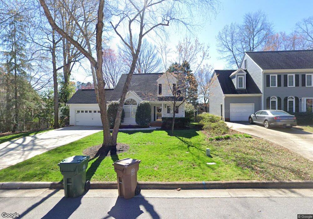
114 Connors Cir Cary, NC 27511
South Cary NeighborhoodEstimated Value: $551,438 - $618,000
3
Beds
3
Baths
1,969
Sq Ft
$296/Sq Ft
Est. Value
About This Home
This home is located at 114 Connors Cir, Cary, NC 27511 and is currently estimated at $583,610, approximately $296 per square foot. 114 Connors Cir is a home located in Wake County with nearby schools including Briarcliff Elementary School, East Cary Middle School, and Cary High School.
Ownership History
Date
Name
Owned For
Owner Type
Purchase Details
Closed on
Nov 5, 2019
Sold by
Flaherty David T
Bought by
Emmers Scott T and Rendleman Rebecca G
Current Estimated Value
Home Financials for this Owner
Home Financials are based on the most recent Mortgage that was taken out on this home.
Original Mortgage
$279,920
Outstanding Balance
$246,746
Interest Rate
3.7%
Mortgage Type
New Conventional
Estimated Equity
$336,864
Purchase Details
Closed on
May 22, 2001
Sold by
Trustee Madras Michael J
Bought by
Flaherty David T and Flaherty Nancy J
Home Financials for this Owner
Home Financials are based on the most recent Mortgage that was taken out on this home.
Original Mortgage
$126,000
Interest Rate
7.02%
Create a Home Valuation Report for This Property
The Home Valuation Report is an in-depth analysis detailing your home's value as well as a comparison with similar homes in the area
Home Values in the Area
Average Home Value in this Area
Purchase History
| Date | Buyer | Sale Price | Title Company |
|---|---|---|---|
| Emmers Scott T | $350,000 | None Available | |
| Flaherty David T | $226,000 | -- |
Source: Public Records
Mortgage History
| Date | Status | Borrower | Loan Amount |
|---|---|---|---|
| Open | Emmers Scott T | $279,920 | |
| Previous Owner | Flaherty David T | $126,000 |
Source: Public Records
Tax History
| Year | Tax Paid | Tax Assessment Tax Assessment Total Assessment is a certain percentage of the fair market value that is determined by local assessors to be the total taxable value of land and additions on the property. | Land | Improvement |
|---|---|---|---|---|
| 2025 | $4,697 | $545,646 | $170,000 | $375,646 |
| 2024 | $4,595 | $545,646 | $170,000 | $375,646 |
Source: Public Records
Map
Nearby Homes
- 2004 Clyde Bank Ct Unit 27A
- 1424 Kildaire Farm Rd
- 107 Chris Ct
- 112 Dabney Rd
- 106 Brannigan Place
- 137 Amesbury Ln
- 109 Queensferry Rd
- 214 Hanover Place
- 528 Spring Flower Ct
- 516 Spring Flower Ct
- 207 Larkwood Ln
- 139 Clancy Cir
- 115 Clancy Cir
- 924 New Kent Place Unit 924
- 127 Clancy Cir
- 107 Concannon Ct
- 132 New Kent Place Unit 132
- 311 New Kent Place Unit 311
- 302 Annandale Dr
- 1312 Hampton Valley Rd Unit 10
Your Personal Tour Guide
Ask me questions while you tour the home.