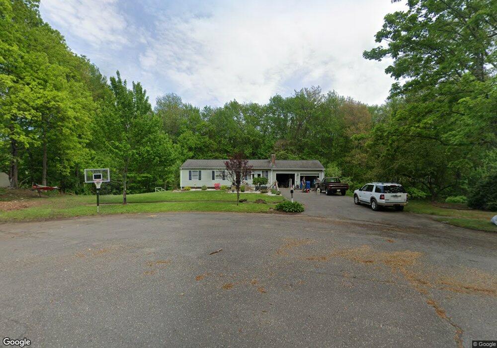
114 Lantern Ln West Springfield, MA 01089
Estimated Value: $316,000 - $402,000
3
Beds
1
Bath
1,057
Sq Ft
$349/Sq Ft
Est. Value
About This Home
This home is located at 114 Lantern Ln, West Springfield, MA 01089 and is currently estimated at $369,292, approximately $349 per square foot. 114 Lantern Ln is a home located in Hampden County with nearby schools including West Springfield High School, Hampden Charter School of Science West, and St Thomas The Apostle School.
Ownership History
Date
Name
Owned For
Owner Type
Purchase Details
Closed on
Feb 3, 2023
Sold by
Lightcap Christina
Bought by
Christina Ft and Lightcap
Current Estimated Value
Purchase Details
Closed on
May 26, 2017
Sold by
Toma Christina and Rossetti Karen
Bought by
Lightcap John
Home Financials for this Owner
Home Financials are based on the most recent Mortgage that was taken out on this home.
Original Mortgage
$184,200
Interest Rate
4.08%
Mortgage Type
VA
Purchase Details
Closed on
Dec 19, 2007
Sold by
National City Bk
Bought by
Toma Christina
Home Financials for this Owner
Home Financials are based on the most recent Mortgage that was taken out on this home.
Original Mortgage
$203,304
Interest Rate
6.3%
Mortgage Type
Purchase Money Mortgage
Purchase Details
Closed on
Mar 1, 2007
Sold by
Toma Nicholas and National City Re Svc
Bought by
National City Bk
Purchase Details
Closed on
Jul 31, 1997
Sold by
Puff Albert and Puff Diane M
Bought by
Begbie Nicholas and Cross Dawn M
Purchase Details
Closed on
Jun 15, 1987
Sold by
Domozick Benedict
Bought by
Puff Albert
Create a Home Valuation Report for This Property
The Home Valuation Report is an in-depth analysis detailing your home's value as well as a comparison with similar homes in the area
Home Values in the Area
Average Home Value in this Area
Purchase History
| Date | Buyer | Sale Price | Title Company |
|---|---|---|---|
| Christina Ft | -- | None Available | |
| Lightcap John | $184,200 | -- | |
| Toma Christina | $205,000 | -- | |
| Toma Christina | $205,000 | -- | |
| National City Bk | $167,000 | -- | |
| National City Bk | $167,000 | -- | |
| Begbie Nicholas | $131,000 | -- | |
| Puff Albert | $129,900 | -- |
Source: Public Records
Mortgage History
| Date | Status | Borrower | Loan Amount |
|---|---|---|---|
| Previous Owner | Lightcap John | $184,200 | |
| Previous Owner | Puff Albert | $207,396 | |
| Previous Owner | Toma Christina | $203,304 |
Source: Public Records
Tax History
| Year | Tax Paid | Tax Assessment Tax Assessment Total Assessment is a certain percentage of the fair market value that is determined by local assessors to be the total taxable value of land and additions on the property. | Land | Improvement |
|---|---|---|---|---|
| 2025 | $4,928 | $331,400 | $149,300 | $182,100 |
| 2024 | $4,899 | $330,800 | $149,300 | $181,500 |
| 2023 | $4,853 | $312,300 | $165,200 | $147,100 |
| 2022 | $4,395 | $278,900 | $150,200 | $128,700 |
| 2021 | $4,316 | $255,400 | $143,000 | $112,400 |
| 2020 | $4,246 | $249,900 | $143,000 | $106,900 |
| 2019 | $4,238 | $249,900 | $143,000 | $106,900 |
| 2018 | $4,290 | $251,600 | $143,000 | $108,600 |
| 2017 | $4,290 | $251,600 | $143,000 | $108,600 |
| 2016 | $4,010 | $236,000 | $137,600 | $98,400 |
| 2015 | $3,930 | $231,300 | $134,900 | $96,400 |
| 2014 | $954 | $231,300 | $134,900 | $96,400 |
Source: Public Records
Map
Nearby Homes
- 34 High Meadow Dr
- 791 Morgan Rd
- 655 Morgan Rd
- 34 Pebble Path Ln
- 0 Ahiska Rd Unit 73477754
- 66 Penrose Dr
- 156 Canterbury Way
- 86 Albert St
- 259 Ohio Ave
- 241 Belmont Ave
- 240 Morton St
- 36 Shady Brook
- 65 Verdugo St
- 132 Lincoln St
- 59 Woodmont St
- 48 Beech Hill Rd Unit 48
- 62 Beech Hill Rd
- 2 Windpath E
- 15 Granger Place
- 48 Mountain Ave
- 102 Lantern Ln
- 33 Harbey Rd
- 23 Harbey Rd
- 1209 Amostown Rd
- 93 Lantern Ln Unit 1
- 88 Lantern Ln
- 91 Lantern Ln
- 49 Harbey Rd
- 1193 Amostown Rd
- 1265 Amostown Rd
- 81 Lantern Ln
- 1228 Amostown Rd
- 72 Lantern Ln
- 50 Harbey Rd
- 1256 Amostown Rd
- 1218 Amostown Rd
- 1181 Amostown Rd
- 1210 Amostown Rd
- 57 Harbey Rd
- 1198 Amostown Rd
Your Personal Tour Guide
Ask me questions while you tour the home.