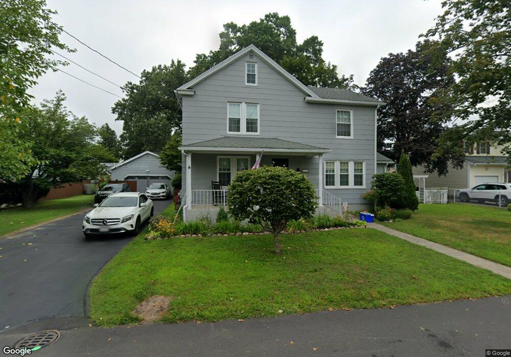
114 Meadow Rd Longmeadow, MA 01106
Estimated Value: $416,878 - $500,000
About This Home
This home is located at 114 Meadow Rd, Longmeadow, MA 01106 and is currently estimated at $439,470, approximately $223 per square foot. 114 Meadow Rd is a home located in Hampden County with nearby schools including Wolf Swamp Road School, Glenbrook Middle School, and Longmeadow High School.
Ownership History
We collect this data history from publicly available records. To have your information removed, we recommend requesting removal directly through your county’s website.
Purchase Details
Purchase Details
Purchase Details
Home Values in the Area
Average Home Value in this Area
Purchase History
We collect this data history from publicly available records. To have your information removed, we recommend requesting removal directly through your county’s website.
| Date | Buyer | Sale Price | Title Company |
|---|---|---|---|
| $151,000 | -- | ||
| $148,500 | -- | ||
| $157,450 | -- |
Mortgage History
We collect this data history from publicly available records. To have your information removed, we recommend requesting removal directly through your county’s website.
| Date | Status | Borrower | Loan Amount |
|---|---|---|---|
| Closed | $70,000 | ||
| Closed | $35,000 | ||
| Closed | $10,000 | ||
| Closed | $123,500 |
Tax History
We collect this data history from publicly available records. To have your information removed, we recommend requesting removal directly through your county’s website.
| Year | Tax Paid | Tax Assessment Tax Assessment Total Assessment is a certain percentage of the fair market value that is determined by local assessors to be the total taxable value of land and additions on the property. | Land | Improvement |
|---|---|---|---|---|
| 2025 | $6,993 | $331,100 | $146,700 | $184,400 |
| 2024 | $6,847 | $331,100 | $146,700 | $184,400 |
| 2023 | $6,445 | $281,200 | $118,300 | $162,900 |
| 2022 | $6,305 | $255,900 | $118,300 | $137,600 |
| 2021 | $6,237 | $252,100 | $119,600 | $132,500 |
| 2020 | $5,873 | $242,600 | $112,600 | $130,000 |
| 2019 | $5,794 | $240,500 | $112,600 | $127,900 |
| 2018 | $5,722 | $235,100 | $132,200 | $102,900 |
| 2017 | $5,544 | $235,100 | $132,200 | $102,900 |
| 2016 | $5,401 | $222,000 | $125,000 | $97,000 |
| 2015 | $5,215 | $220,800 | $123,800 | $97,000 |
Map
- 157 Meadow Rd
- 132 Barrington Rd
- 51 Barrington Rd
- 1435 Longmeadow St
- 33 Roy St
- 12 Booth Rd
- 93 Jonquil Ln
- 111 Maple Rd
- 27 Booth St
- 82 Lincoln Park
- 35 Brookside Village Unit 35
- 32 Lincoln Rd
- 62 Circle Rd
- 131 Lincoln Rd
- 233 Franklin Rd
- 35 Bernardino Ave
- 23 Berwick Rd
- 6 Ferncroft St
- 20 Manning Rd
- 23 Magnolia Dr
- 126 Meadow Rd
- 128 Meadow Rd
- 123 Homestead Blvd
- 141 Homestead Blvd
- 142 Meadow Rd
- 121 Meadow Rd
- 129 Meadow Rd
- 110 Meadow Rd
- 109 Homestead Blvd
- 137 Meadow Rd
- 137 Meadow Rd
- 3 Herbert St
- 149 Homestead Blvd
- 94 Meadow Rd
- 130 Homestead Blvd
- 124 Homestead Blvd
- 152 Meadow Rd
- 144 Homestead Blvd
- 151 Meadow Rd
- 120 Homestead Blvd
Ask me questions while you tour the home.