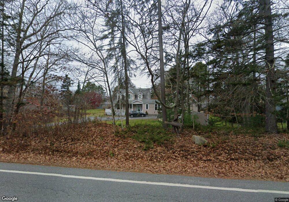
1140 Mere Point Rd Brunswick, ME 04011
Estimated Value: $657,332 - $1,500,000
3
Beds
2
Baths
2,065
Sq Ft
$480/Sq Ft
Est. Value
About This Home
This home is located at 1140 Mere Point Rd, Brunswick, ME 04011 and is currently estimated at $991,583, approximately $480 per square foot. 1140 Mere Point Rd is a home located in Cumberland County with nearby schools including Kate Furbish Elementary School, Brunswick Jr High School, and Brunswick High School.
Ownership History
Date
Name
Owned For
Owner Type
Purchase Details
Closed on
Sep 9, 2015
Sold by
Powers Marilyn J and Powers Andrew T
Bought by
Andrew T Powers Lt and Powers Marilyn J
Current Estimated Value
Create a Home Valuation Report for This Property
The Home Valuation Report is an in-depth analysis detailing your home's value as well as a comparison with similar homes in the area
Home Values in the Area
Average Home Value in this Area
Purchase History
| Date | Buyer | Sale Price | Title Company |
|---|---|---|---|
| Andrew T Powers Lt | -- | -- |
Source: Public Records
Tax History
| Year | Tax Paid | Tax Assessment Tax Assessment Total Assessment is a certain percentage of the fair market value that is determined by local assessors to be the total taxable value of land and additions on the property. | Land | Improvement |
|---|---|---|---|---|
| 2024 | $8,474 | $355,300 | $111,800 | $243,500 |
| 2023 | $8,275 | $355,300 | $111,800 | $243,500 |
| 2022 | $7,689 | $354,500 | $111,800 | $242,700 |
| 2021 | $7,395 | $354,500 | $111,800 | $242,700 |
| 2020 | $7,221 | $354,500 | $111,800 | $242,700 |
| 2019 | $6,945 | $352,200 | $111,800 | $240,400 |
| 2018 | $6,664 | $352,200 | $111,800 | $240,400 |
| 2017 | $6,470 | $352,200 | $111,800 | $240,400 |
| 2016 | $6,657 | $226,800 | $40,400 | $186,400 |
| 2015 | $6,432 | $226,800 | $40,400 | $186,400 |
| 2014 | $6,023 | $226,800 | $40,400 | $186,400 |
| 2013 | -- | $226,800 | $40,400 | $186,400 |
Source: Public Records
Map
Nearby Homes
- 83 Central Ave
- Map 80 Lot 18-0 White Island
- 70 Maquoit Dr
- 0 Gundalo Gap Rd Unit 1638108
- 71 Merganser Way
- 371 Maquoit Rd
- 52 Birch Point Rd
- Lot 2B Allen Point Rd
- 30 Driftwood Tide Ln
- 60 Pleasant Hill Rd
- 1 Mallard Pond Rd
- 5 Round Hill Ln
- 46 Casco Rd
- Lot 13B Pleasant Hill Rd
- 2 Remington Way
- 250 Mere Point Rd
- 36 Jewell St
- 14 Circus
- 6 Miranda St
- 29 S Freeport Rd
- 25 Sunset Way
- 18 Sunset Way
- 14 Sunset Way
- 8 Sunset Way
- 1133 Mere Point Rd
- 4 Sunset Way
- 1112 Mere Point Rd
- 1147 Mere Point Rd
- 28 Sunset Way
- 1118 Mere Point Rd
- Lot 69 Birch Island
- 1168 Mere Point Rd
- 15 Marys Way
- 1160 Mere Point Rd
- 15 Sandpiper Ln
- 1157 Mere Point Rd
- 15 Birch Island Rd
- 17 Marys Way
- 1095 Mere Point Rd
- 1093 Mere Point
Your Personal Tour Guide
Ask me questions while you tour the home.