1140 Tulip Rd Lynx, OH 45650
Estimated Value: $19,115 - $413,000
About This Home
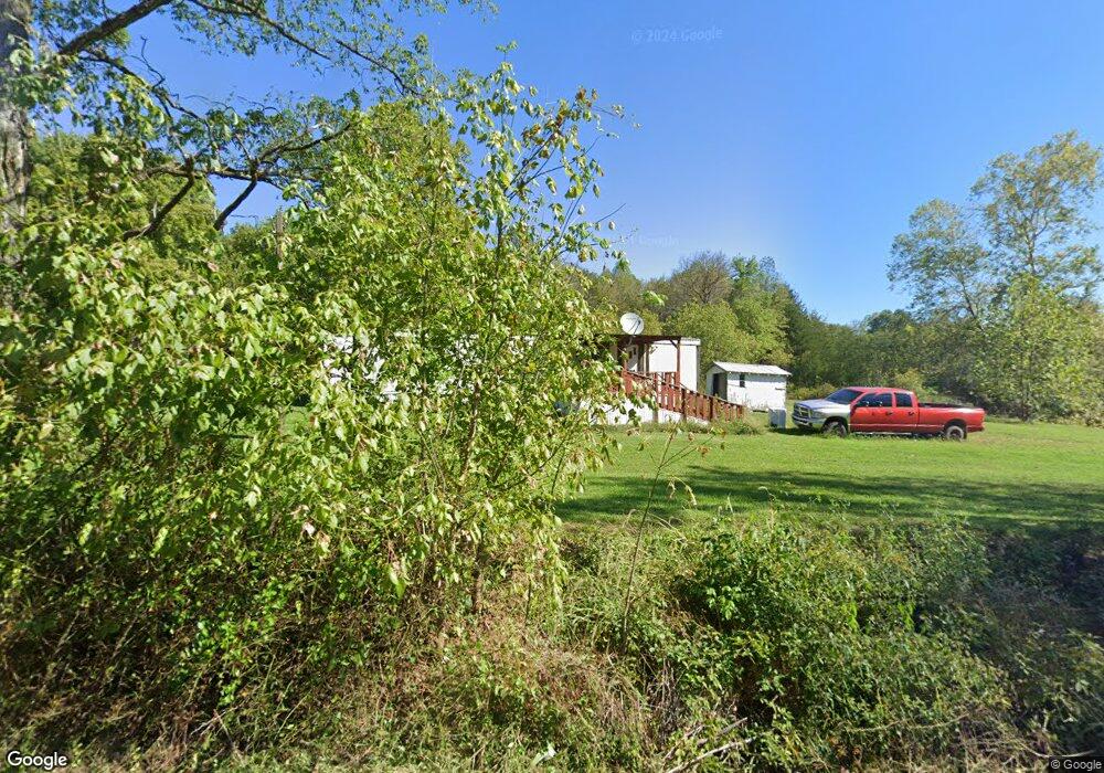
This home is located at 1140 Tulip Rd, Lynx, OH 45650 and is currently estimated at $162,038. 1140 Tulip Rd is a home located in Adams County with nearby schools including West Union Elementary School and West Union High School.
Ownership History
We collect this data history from publicly available records. To have your information removed, we recommend requesting removal directly through your county’s website.
Purchase Details
Purchase Details
Purchase Details
Purchase Details
Purchase Details
Purchase Details
Purchase Details
Purchase Details
Purchase History
We collect this data history from publicly available records. To have your information removed, we recommend requesting removal directly through your county’s website.
| Date | Buyer | Sale Price | Title Company |
|---|---|---|---|
| $8,800 | None Available | ||
| -- | None Available | ||
| $24,000 | None Available | ||
| $15,000 | -- | ||
| $3,000 | -- | ||
| $2,500 | -- | ||
| $3,000 | -- | ||
| -- | -- |
Tax History
We collect this data history from publicly available records. To have your information removed, we recommend requesting removal directly through your county’s website.
| Year | Tax Paid | Tax Assessment Tax Assessment Total Assessment is a certain percentage of the fair market value that is determined by local assessors to be the total taxable value of land and additions on the property. | Land | Improvement |
|---|---|---|---|---|
| 2025 | $150 | $4,450 | $3,400 | $1,050 |
| 2024 | $75 | $4,450 | $3,400 | $1,050 |
| 2023 | $151 | $4,450 | $3,400 | $1,050 |
| 2022 | $150 | $3,290 | $2,450 | $840 |
| 2021 | $120 | $3,290 | $2,450 | $840 |
| 2020 | $123 | $3,290 | $2,450 | $840 |
| 2019 | $123 | $3,290 | $2,450 | $840 |
| 2018 | $115 | $3,150 | $2,450 | $700 |
| 2017 | $113 | $3,150 | $2,450 | $700 |
| 2016 | $57 | $3,150 | $2,450 | $700 |
| 2015 | $75 | $2,170 | $1,540 | $630 |
| 2014 | $76 | $2,170 | $1,540 | $630 |
Map
- 2424 Tulip Rd
- 189 Hamilton Rd
- 1805 Waggoner Riffle Rd
- 467 Waggoner Riffle Rd
- 4702 Brush Creek Rd
- 1919 Beasley Fork Rd
- 1927 Bethany Ridge Rd
- 2375 Poplar Ridge Rd
- 526 Brush Creek Rd
- 191 Cox Rd
- 16033 U S Route 52
- 4050 Poplar Ridge Rd
- 16675 Us 52 Wp Lot Unit 1
- 16675 Us 52 Wp Lot Unit 3
- 16675 Us 52 Wp Lot Unit 2
- 252 Bradley Ln
- 5946 Churn Creek Rd
- 0 Blue Creek Rd
- 529 Drake Cemetery Rd
- 0 First St Unit 25507630
- 2 Himes Rd
- 1078 Tulip Rd
- 1310 Tulip Rd
- 1033 Tulip Rd
- 1336 Tulip Rd
- 1415 Tulip Rd
- 28 Rhodes Rd
- 942 Tulip Rd
- 282 Rhodes Rd
- 845 Tulip Rd
- 595 Mahogany Rd
- 1620 Tulip Rd
- 535 Rhodes Rd
- 472 Rhodes Rd
- 1903 Tulip Rd
- 2770 Blacks Run Rd
- 2799 Blacks Run Rd
- 2818 Blacks Run Rd
- 2796 Blacks Run Rd
- 2933 Blacks Run Rd
Ask me questions while you tour the home.