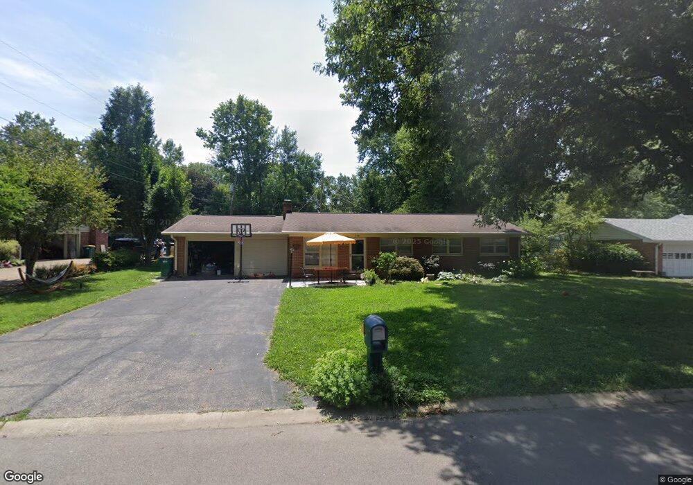
1141 E Adams Dr Franklin, IN 46131
Estimated Value: $278,000 - $303,000
About This Home
This home is located at 1141 E Adams Dr, Franklin, IN 46131 and is currently estimated at $287,650, approximately $211 per square foot. 1141 E Adams Dr is a home located in Johnson County with nearby schools including Webb Elementary School, Franklin Community Middle School, and Custer Baker Intermediate School.
Ownership History
We collect this data history from publicly available records. To have your information removed, we recommend requesting removal directly through your county’s website.
Purchase Details
Purchase Details
Purchase Details
Home Financials for this Owner
Home Financials are based on the most recent Mortgage that was taken out on this home.Home Values in the Area
Average Home Value in this Area
Purchase History
We collect this data history from publicly available records. To have your information removed, we recommend requesting removal directly through your county’s website.
| Date | Buyer | Sale Price | Title Company |
|---|---|---|---|
| -- | None Available | ||
| -- | Chicago Title Insurance Comp | ||
| -- | Chicago Title Insurance Co |
Mortgage History
We collect this data history from publicly available records. To have your information removed, we recommend requesting removal directly through your county’s website.
| Date | Status | Borrower | Loan Amount |
|---|---|---|---|
| Previous Owner | $118,405 | ||
| Closed | $0 |
Tax History
We collect this data history from publicly available records. To have your information removed, we recommend requesting removal directly through your county’s website.
| Year | Tax Paid | Tax Assessment Tax Assessment Total Assessment is a certain percentage of the fair market value that is determined by local assessors to be the total taxable value of land and additions on the property. | Land | Improvement |
|---|---|---|---|---|
| 2025 | $3,816 | $253,500 | $30,500 | $223,000 |
| 2024 | $2,220 | $201,600 | $30,500 | $171,100 |
| 2023 | $2,292 | $196,300 | $30,500 | $165,800 |
| 2022 | $1,924 | $174,200 | $22,200 | $152,000 |
| 2021 | $1,747 | $158,800 | $22,200 | $136,600 |
| 2020 | $1,642 | $149,700 | $22,200 | $127,500 |
| 2019 | $1,528 | $140,200 | $22,200 | $118,000 |
| 2018 | $1,342 | $135,200 | $22,200 | $113,000 |
| 2017 | $1,301 | $127,100 | $22,200 | $104,900 |
| 2016 | $1,402 | $130,000 | $22,200 | $107,800 |
| 2014 | $1,260 | $124,000 | $22,200 | $101,800 |
| 2013 | $1,260 | $115,600 | $22,200 | $93,400 |
Map
- 1410 E Jefferson St
- 103 Weber Ct
- 17 Morning Dr
- 24 Morning Dr
- 353 Carriage Ln
- 690 E Jefferson St
- 599 E Adams St
- 598 Kentucky St
- 1562 Williamsburg Ct
- 760 Hamilton Ave
- 1250 Park Ave
- 698 Yandes St
- 1694 Williamsburg Ln
- 227 E Jefferson St
- 851 Duane St
- 159 E King St
- 598 Johnson Ave
- 365 Province St
- 1682 Millpond Ln
- 1636 Millpond Ln
- 1131 E Adams Dr
- 1151 E Adams Dr
- 1140 E Adams Dr
- 1150 E Adams Dr
- 1120 E Adams Dr
- 1086 E King St
- 1161 E Adams Dr
- 1076 E King St
- 1111 E Adams Dr
- 1066 E King St
- 1160 E Adams Dr
- 1131 Hillview Dr
- 1100 E King St
- 1121 Hillview Dr
- 1112 E Adams Dr
- 1171 E Adams Dr
- 1200 E King St
- 1141 Hillview Dr
- 1101 E Adams Dr
- 1100 E Adams Dr
Ask me questions while you tour the home.