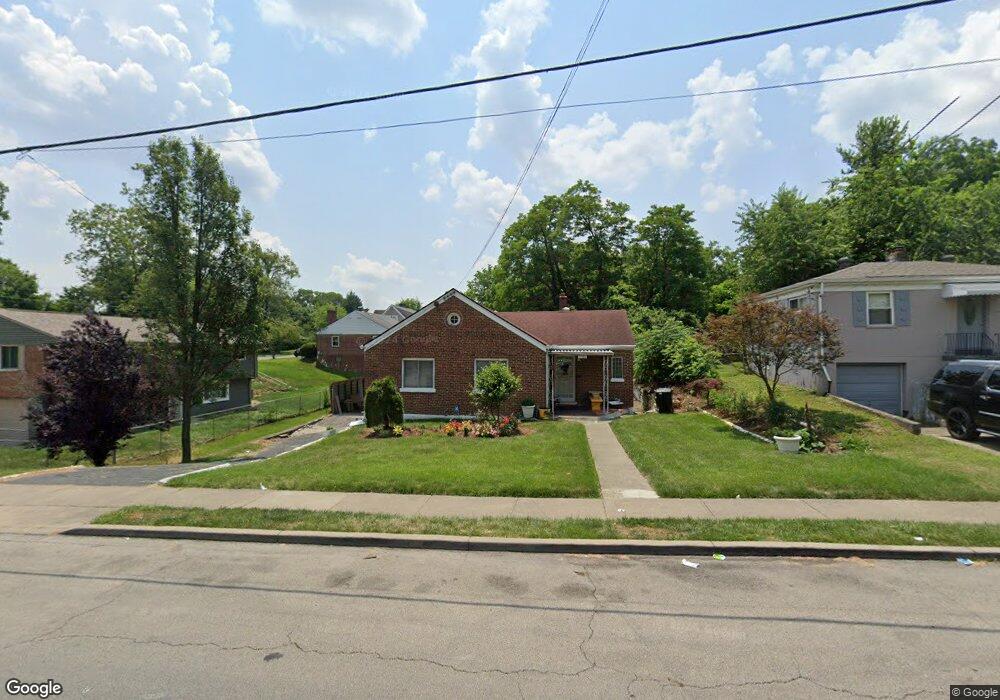
1145 Cedar Ave Cincinnati, OH 45224
College Hill NeighborhoodEstimated Value: $137,000 - $182,000
3
Beds
2
Baths
1,260
Sq Ft
$129/Sq Ft
Est. Value
About This Home
This home is located at 1145 Cedar Ave, Cincinnati, OH 45224 and is currently estimated at $162,539, approximately $128 per square foot. 1145 Cedar Ave is a home located in Hamilton County with nearby schools including Pleasant Hill Elementary School, Robert A. Taft Information Technology High School, and Western Hills High School.
Ownership History
Date
Name
Owned For
Owner Type
Purchase Details
Closed on
Sep 11, 2023
Sold by
Watson Arthur L
Bought by
Acuna Carla Siles
Current Estimated Value
Home Financials for this Owner
Home Financials are based on the most recent Mortgage that was taken out on this home.
Original Mortgage
$152,192
Outstanding Balance
$148,339
Interest Rate
6.9%
Mortgage Type
Construction
Estimated Equity
$14,200
Create a Home Valuation Report for This Property
The Home Valuation Report is an in-depth analysis detailing your home's value as well as a comparison with similar homes in the area
Home Values in the Area
Average Home Value in this Area
Purchase History
| Date | Buyer | Sale Price | Title Company |
|---|---|---|---|
| Acuna Carla Siles | $155,000 | None Listed On Document |
Source: Public Records
Mortgage History
| Date | Status | Borrower | Loan Amount |
|---|---|---|---|
| Open | Acuna Carla Siles | $152,192 |
Source: Public Records
Tax History
| Year | Tax Paid | Tax Assessment Tax Assessment Total Assessment is a certain percentage of the fair market value that is determined by local assessors to be the total taxable value of land and additions on the property. | Land | Improvement |
|---|---|---|---|---|
| 2025 | $2,208 | $45,728 | $14,231 | $31,497 |
| 2024 | $2,146 | $45,728 | $14,231 | $31,497 |
| 2023 | $2,245 | $45,728 | $14,231 | $31,497 |
| 2022 | $1,381 | $28,813 | $11,589 | $17,224 |
| 2021 | $1,310 | $28,813 | $11,589 | $17,224 |
| 2020 | $1,364 | $28,813 | $11,589 | $17,224 |
| 2019 | $1,226 | $25,274 | $10,164 | $15,110 |
| 2018 | $1,228 | $25,274 | $10,164 | $15,110 |
| 2017 | $1,158 | $25,274 | $10,164 | $15,110 |
| 2016 | $1,360 | $27,987 | $10,847 | $17,140 |
| 2015 | $1,235 | $27,987 | $10,847 | $17,140 |
| 2014 | $1,245 | $27,987 | $10,847 | $17,140 |
| 2013 | $1,322 | $28,851 | $11,183 | $17,668 |
Source: Public Records
Map
Nearby Homes
- 5945 Leffingwell Ave
- 1190 West Way
- 5940 Kenneth Ave
- 1197 Toluca Ct
- 1166 Groesbeck Rd
- 1217 Groesbeck Rd
- 5918 Lantana Ave
- 6045 Tahiti Dr
- 1410 Marlowe Ave
- 6101 Capri Dr
- 6000 Capri Dr
- 6071 Lantana Ave
- 6205 Edwood Ave
- 6024 Sunridge Dr
- 1011 Venetian Terrace
- 6123 Kingsford Dr
- 1620 Linden Dr
- 1491 Reid Ave
- 1387 Teakwood Ave
- 5510 Hamilton Ave
- 1147 Cedar Ave
- 5845 Elsie Ave
- 1149 Cedar Ave
- 5839 Elsie Ave
- 1151 Cedar Ave
- 5835 Elsie Ave
- 1160 N Lynnebrook Dr
- 1131 Cedar Ave
- 1153 Cedar Ave
- 1164 N Lynnebrook Dr
- 5831 Elsie Ave
- 1154 N Lynnebrook Dr
- 1136 Cedar Ave
- 1134 Cedar Ave
- 1130 Cedar Ave
- 1142 Cedar Ave
- 1155 Cedar Ave
- 5836 Elsie Ave
- 1168 N Lynnebrook Dr
- 5827 Elsie Ave
Your Personal Tour Guide
Ask me questions while you tour the home.