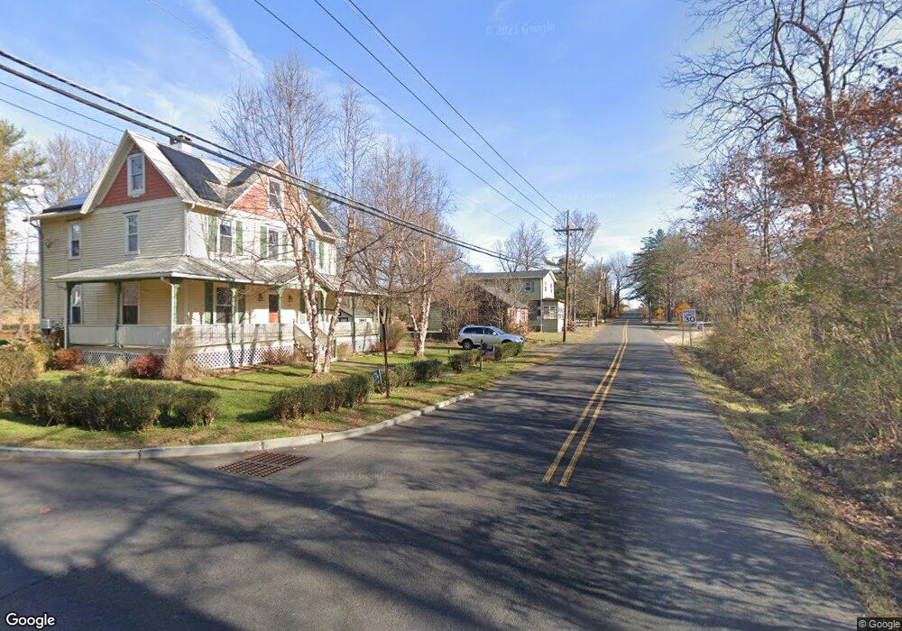
1149 Route 601 Skillman, NJ 08558
Estimated Value: $382,000
Studio
--
Bath
2,100
Sq Ft
$182/Sq Ft
Est. Value
About This Home
This home is located at 1149 Route 601, Skillman, NJ 08558 and is currently estimated at $382,000, approximately $181 per square foot. 1149 Route 601 is a home located in Somerset County with nearby schools including Orchard Hill Elementary School, Village Elementary School, and Montgomery Lower Mid School.
Ownership History
Date
Name
Owned For
Owner Type
Purchase Details
Closed on
Jul 31, 2018
Sold by
S J S Holding Inc
Bought by
Antjenndi Llc
Current Estimated Value
Home Financials for this Owner
Home Financials are based on the most recent Mortgage that was taken out on this home.
Original Mortgage
$6,002,000
Outstanding Balance
$5,212,494
Interest Rate
4.5%
Mortgage Type
Commercial
Estimated Equity
-$4,815,494
Create a Home Valuation Report for This Property
The Home Valuation Report is an in-depth analysis detailing your home's value as well as a comparison with similar homes in the area
Home Values in the Area
Average Home Value in this Area
Purchase History
We collect this data history from publicly available records. To have your information removed, we recommend requesting removal directly through your county’s website.
| Date | Buyer | Sale Price | Title Company |
|---|---|---|---|
| Antjenndi Llc | $860,000 | Multiple |
Source: Public Records
Mortgage History
We collect this data history from publicly available records. To have your information removed, we recommend requesting removal directly through your county’s website.
| Date | Status | Borrower | Loan Amount |
|---|---|---|---|
| Open | Antjenndi Llc | $6,002,000 |
Source: Public Records
Tax History
| Year | Tax Paid | Tax Assessment Tax Assessment Total Assessment is a certain percentage of the fair market value that is determined by local assessors to be the total taxable value of land and additions on the property. | Land | Improvement |
|---|---|---|---|---|
| 2025 | $14,305 | $417,300 | $109,600 | $307,700 |
| 2024 | $14,305 | $417,300 | $109,600 | $307,700 |
| 2023 | $14,284 | $417,300 | $109,600 | $307,700 |
| 2022 | $13,450 | $417,300 | $109,600 | $307,700 |
| 2021 | $13,333 | $417,300 | $109,600 | $307,700 |
| 2020 | $13,220 | $417,300 | $109,600 | $307,700 |
| 2019 | $13,128 | $417,300 | $109,600 | $307,700 |
| 2018 | $12,819 | $417,300 | $109,600 | $307,700 |
| 2017 | $12,623 | $417,300 | $109,600 | $307,700 |
| 2016 | $12,402 | $417,300 | $109,600 | $307,700 |
| 2015 | $12,127 | $417,300 | $109,600 | $307,700 |
| 2014 | $11,981 | $417,300 | $109,600 | $307,700 |
Source: Public Records
Map
Nearby Homes
- 17 Spyglass Rd
- 206 Van Zandt Rd
- 47 Van Zandt Rd
- 347 Mountain View Rd
- 339 Mountain View Rd
- 0 Mountain View Rd
- 44 Burnt Hill Rd
- 272 Skillman Rd
- 5 Pauma Valley Ct
- 48 Fairview Rd
- 45 Camp Meeting Ave
- 122 Bedens Brook Rd
- 44 Titus Rd
- 1015 Cherry Hill Rd
- 5 Jupiter Hills Ct
- 957 Cherry Hill Rd
- 947 Cherry Hill Rd
- 42 Stouts Rd
- 310 Hollow Rd
- 142 Spring Hill Rd
- 1149 Route 601 Unit A
- 1149 Route 601 Unit 2
- 400 Route 518 Unit 1
- 400 Route 518
- 391 Route 518
- 404 Route 518
- 399 Route 518
- 397 Route 518
- 390 Route 518 Unit B
- 1693 Great Rd
- 403 Route 518
- 395 Route 518
- 410 Route 518
- 382 Route 518 Unit C
- 382 Route 518 Unit 2 E
- 382 Route 518 Unit A
- 412 Route 518
- 1131 Route 601
- 1689 Rt 601 Rd
- 409 Route 518
Your Personal Tour Guide
Ask me questions while you tour the home.