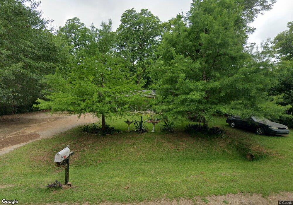
115 Bennett Dr Albany, GA 31705
Estimated Value: $62,468 - $113,000
3
Beds
1
Bath
1,200
Sq Ft
$75/Sq Ft
Est. Value
About This Home
This home is located at 115 Bennett Dr, Albany, GA 31705 and is currently estimated at $90,117, approximately $75 per square foot. 115 Bennett Dr is a home located in Dougherty County with nearby schools including Turner Elementary School, Albany Middle School, and Dougherty Comprehensive High School.
Ownership History
Date
Name
Owned For
Owner Type
Purchase Details
Closed on
May 1, 2024
Sold by
Willis Randall
Bought by
Walter Rhonda W
Current Estimated Value
Purchase Details
Closed on
Apr 10, 2024
Sold by
Jones Sabrina R
Bought by
Jones Breanna and Jones Willie
Purchase Details
Closed on
Nov 22, 2005
Sold by
Cates Tonya
Bought by
Jones Sabria R
Purchase Details
Closed on
Oct 15, 2003
Sold by
Hufstetler Ricky L
Bought by
Cates Tonja
Purchase Details
Closed on
Jul 1, 1993
Sold by
Jones David C
Bought by
Hufstetler Ricky L
Purchase Details
Closed on
Jun 29, 1993
Sold by
Humphries Hazel
Bought by
Jones David C
Purchase Details
Closed on
Aug 22, 1980
Sold by
Humphries Mercer
Bought by
Humphries Hazel K
Create a Home Valuation Report for This Property
The Home Valuation Report is an in-depth analysis detailing your home's value as well as a comparison with similar homes in the area
Purchase History
| Date | Buyer | Sale Price | Title Company |
|---|---|---|---|
| Walter Rhonda W | -- | -- | |
| Jones Breanna | -- | -- | |
| Jones Sabria R | -- | -- | |
| Cates Tonja | $42,000 | -- | |
| Hufstetler Ricky L | $30,500 | -- | |
| Jones David C | $25,000 | -- | |
| Humphries Hazel K | -- | -- |
Source: Public Records
Tax History
| Year | Tax Paid | Tax Assessment Tax Assessment Total Assessment is a certain percentage of the fair market value that is determined by local assessors to be the total taxable value of land and additions on the property. | Land | Improvement |
|---|---|---|---|---|
| 2025 | $783 | $15,920 | $480 | $15,440 |
| 2024 | $783 | $15,360 | $480 | $14,880 |
| 2023 | $710 | $15,360 | $480 | $14,880 |
| 2022 | $712 | $15,360 | $480 | $14,880 |
| 2021 | $659 | $15,360 | $480 | $14,880 |
| 2020 | $660 | $15,360 | $480 | $14,880 |
| 2019 | $661 | $15,360 | $480 | $14,880 |
| 2018 | $663 | $15,360 | $480 | $14,880 |
| 2017 | $617 | $15,360 | $480 | $14,880 |
| 2016 | $618 | $15,360 | $480 | $14,880 |
| 2015 | $619 | $15,360 | $480 | $14,880 |
| 2014 | $659 | $16,600 | $1,720 | $14,880 |
Source: Public Records
Map
Nearby Homes
- 128 Bennett Dr
- 3007 E Park Ct
- 3431 Gladys Ct
- 2802 Banks Ave
- 148 Force Dr
- 311 Pryor St
- 205 Gatewood Dr
- 0 Lumpkin St
- Colley Ave
- 802 Branch Rd
- 3625 Sylvester Rd
- 2531 Cherokee Dr
- 920 Cordele Rd
- 3620 Radial Ave
- 2529 Cherokee Dr
- 511 Johnson Rd
- 2539 Crescent Dr
- 410 Johnson Rd
- 3722 Countryside Dr
- 147 Old Johnson Rd
- 117 Bennett Dr
- 111 Bennett Dr
- 121 Bennett Dr
- 125 Bennett Dr
- 3205 Sylvester Hwy
- 3205 Sylvester Hwy
- 3205 Sylvester Hwy
- 3225 Sylvester Hwy
- 127 Bennett Dr
- 3303 Sylvester Hwy
- 3205 Sylvester Rd
- 105 Bennett Dr
- 3225 Sylvester Rd
- 131 Bennett Dr
- 3315 Sylvester Hwy
- 3315 Sylvester Hwy Unit 11
- 3315 Sylvester Hwy Unit 33
- 3315 Sylvester Hwy Unit 8
- 3315 Sylvester Hwy Unit 65
- 3315 Sylvester Hwy Unit 63
Your Personal Tour Guide
Ask me questions while you tour the home.