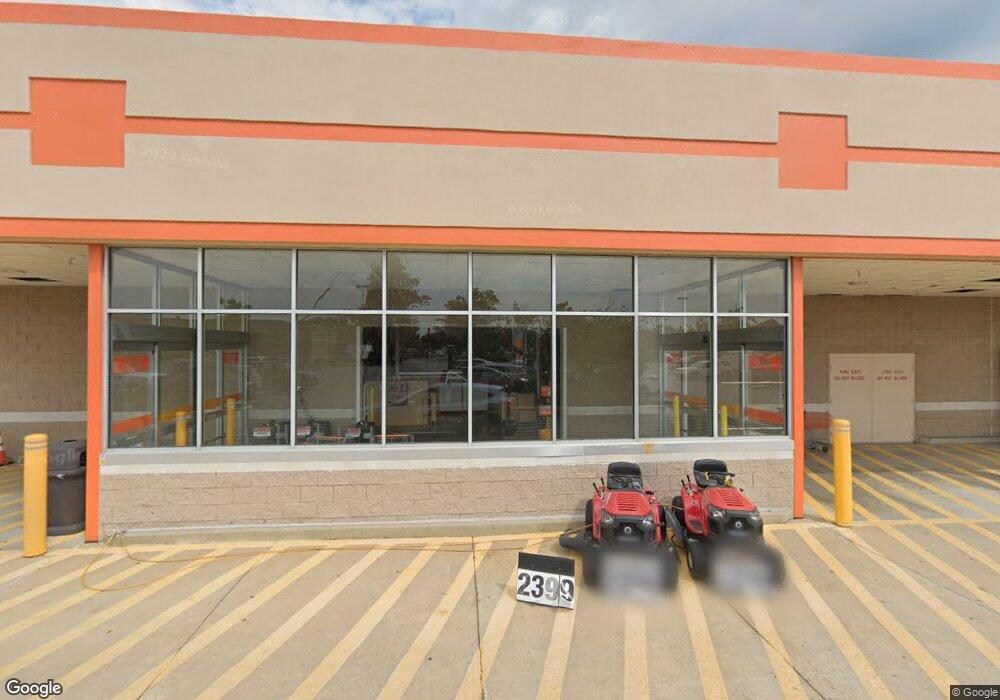
115 E North Pointe Dr Salisbury, MD 21804
North Salisbury NeighborhoodEstimated Value: $7,431,638
Studio
--
Bath
114,392
Sq Ft
$65/Sq Ft
Est. Value
About This Home
This home is located at 115 E North Pointe Dr, Salisbury, MD 21804 and is currently estimated at $7,431,638, approximately $64 per square foot. 115 E North Pointe Dr is a home located in Wicomico County with nearby schools including West Salisbury Elementary School, North Salisbury Elementary School, and Wicomico Middle School.
Ownership History
Date
Name
Owned For
Owner Type
Purchase Details
Closed on
Sep 27, 1999
Sold by
Home Depot U S A Inc
Bought by
Hd Development Of Maryland Inc
Current Estimated Value
Purchase Details
Closed on
Feb 20, 1998
Sold by
Ddrc Pdk Salisbury Llc
Bought by
Home Depot U S A Inc
Purchase Details
Closed on
Jan 8, 1998
Sold by
Shockley Linwood D and Shockley Iva J
Bought by
Ddrc Pdk Salisbury Llc
Create a Home Valuation Report for This Property
The Home Valuation Report is an in-depth analysis detailing your home's value as well as a comparison with similar homes in the area
Home Values in the Area
Average Home Value in this Area
Purchase History
| Date | Buyer | Sale Price | Title Company |
|---|---|---|---|
| Hd Development Of Maryland Inc | -- | -- | |
| Home Depot U S A Inc | $2,366,881 | -- | |
| Ddrc Pdk Salisbury Llc | $1,843,529 | -- |
Source: Public Records
Tax History
| Year | Tax Paid | Tax Assessment Tax Assessment Total Assessment is a certain percentage of the fair market value that is determined by local assessors to be the total taxable value of land and additions on the property. | Land | Improvement |
|---|---|---|---|---|
| 2025 | $51,602 | $5,647,000 | $1,698,600 | $3,948,400 |
| 2024 | $54,143 | $5,647,000 | $1,698,600 | $3,948,400 |
| 2023 | $55,829 | $5,647,000 | $1,698,600 | $3,948,400 |
| 2022 | $59,247 | $5,814,200 | $1,698,600 | $4,115,600 |
| 2021 | $59,963 | $5,814,200 | $1,698,600 | $4,115,600 |
| 2020 | $59,963 | $5,814,200 | $1,698,600 | $4,115,600 |
| 2019 | $61,320 | $5,859,000 | $1,698,600 | $4,160,400 |
| 2018 | $121,451 | $5,859,000 | $1,698,600 | $4,160,400 |
| 2017 | $121,451 | $5,859,000 | $0 | $0 |
| 2016 | -- | $6,156,000 | $0 | $0 |
| 2015 | $105,575 | $6,156,000 | $0 | $0 |
| 2014 | $105,575 | $6,156,000 | $0 | $0 |
Source: Public Records
Map
Nearby Homes
- 330 Troopers Way Unit 330
- 417 Troopers Way
- 0 Hampshire Rd Unit MDWC2014506
- 218 Clement Loop
- 220 Clement Loop
- 222 Clement Loop
- 214 Clement Loop
- 231 Clement Loop
- 233 Clement Loop
- 229 Clement Loop
- 227 Clement Loop
- 235 Clement Loop
- 237 Clement Loop
- 238 Clement Loop
- 234 Clement Loop
- 240 Clement Loop
- 242 Clement Loop
- 30415 Saxon Ct
- 30332 Dagsboro Rd
- 246 Clement Loop
- 328 Troopers Way
- 330 Troopers Way
- 332 Troopers Way
- 0 Oliphant Dr
- 334 Troopers Way
- 336 Troopers Way Unit 336
- 336 Troopers Way
- 338 Troopers Way
- 324 Troopers Way
- 326 Troopers Way
- 342 Troopers Way
- 316 Troopers Way
- 8249 Dickerson Ln Unit B
- 346 Troopers Way
- 308 Troopers Way
- 306 Troopers Way Unit U306
- 306 Troopers Way
- 400 Troopers Way Unit 400
- 400 Troopers Way
- 302 Troopers Way Unit U302
Your Personal Tour Guide
Ask me questions while you tour the home.