Estimated Value: $264,000 - $293,621
About This Home
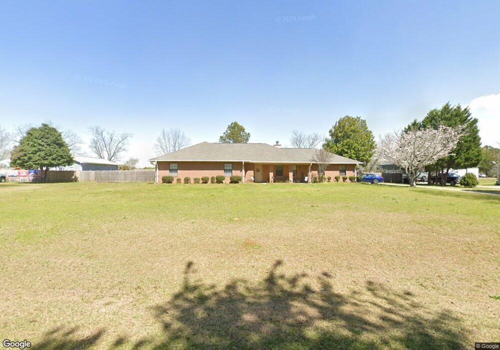
This home is located at 115 Robbie Dr, Byron, GA 31008 and is currently estimated at $276,655, approximately $139 per square foot. 115 Robbie Dr is a home located in Peach County with nearby schools including Kay Road Elementary School, Fort Valley Middle School, and Peach County High School.
Ownership History
We collect this data history from publicly available records. To have your information removed, we recommend requesting removal directly through your county’s website.
Purchase Details
Purchase Details
Home Financials for this Owner
Home Financials are based on the most recent Mortgage that was taken out on this home.Purchase Details
Purchase Details
Purchase Details
Purchase Details
Home Values in the Area
Average Home Value in this Area
Purchase History
We collect this data history from publicly available records. To have your information removed, we recommend requesting removal directly through your county’s website.
| Date | Buyer | Sale Price | Title Company |
|---|---|---|---|
| -- | -- | ||
| -- | -- | ||
| -- | -- | ||
| $77,100 | -- | ||
| $9,500 | -- | ||
| -- | -- |
Mortgage History
We collect this data history from publicly available records. To have your information removed, we recommend requesting removal directly through your county’s website.
| Date | Status | Borrower | Loan Amount |
|---|---|---|---|
| Previous Owner | $30,500 |
Tax History
We collect this data history from publicly available records. To have your information removed, we recommend requesting removal directly through your county’s website.
| Year | Tax Paid | Tax Assessment Tax Assessment Total Assessment is a certain percentage of the fair market value that is determined by local assessors to be the total taxable value of land and additions on the property. | Land | Improvement |
|---|---|---|---|---|
| 2025 | $2,632 | $83,320 | $6,600 | $76,720 |
| 2024 | $2,694 | $80,920 | $6,840 | $74,080 |
| 2023 | $2,653 | $79,280 | $6,840 | $72,440 |
| 2022 | $1,676 | $69,480 | $6,840 | $62,640 |
| 2021 | $1,684 | $61,160 | $6,840 | $54,320 |
| 2020 | $1,819 | $65,480 | $6,840 | $58,640 |
| 2019 | $1,779 | $63,920 | $6,840 | $57,080 |
| 2018 | $1,788 | $63,920 | $6,840 | $57,080 |
| 2017 | $1,962 | $63,920 | $6,840 | $57,080 |
| 2016 | $1,954 | $63,920 | $6,840 | $57,080 |
| 2015 | $1,957 | $63,920 | $6,840 | $57,080 |
| 2014 | $1,960 | $63,920 | $6,840 | $57,080 |
| 2013 | -- | $63,920 | $6,840 | $57,080 |
Map
- 4682 Housers Mill Rd
- 0 Housers Mill Rd Unit 5515996
- 107 Justin Dr
- 226 Shantz Way
- 226 Shantz Way Unit LOT A30
- 230 Shantz Way Unit LOT A32
- 634 Jones Rd
- 109 Red Tail Cir
- 107 Red Tail Cir
- 113 Christopher Dr
- 117 Early Dr
- 105 Cherry Oak Ct
- 161 Rowland Cir
- 0 Barker Rd Unit 243030
- 0 Barker Rd Unit 14258525
- 0 Barker Rd Unit 175053
- 126 Abelia Ln
- 308 Lamplight Dr
- 410 Lamplight Dr
- 423 Lamplight Dr
- 109 Robbie Dr
- 119 Robbie Dr
- 123 Robbie Dr
- 105 Robbie Dr
- 114 Robbie Dr
- 118 Robbie Dr
- 122 Robbie Dr
- 15 Robbie Dr
- 5029 Housers Mill Rd
- 127 Robbie Dr
- 5155 Housers Mill Rd
- Lot 15 Robbie Dr
- 0 Robbie Dr Unit LOt 15 8651974
- 0 Robbie Dr Unit LOt 15 8515484
- 131 Robbie Dr
- 5000 Housers Mill Rd
- 135 Robbie Dr
- 130 Robbie Dr
- 4845 Housers Mill Rd
- 115 Erin Ct
Ask me questions while you tour the home.