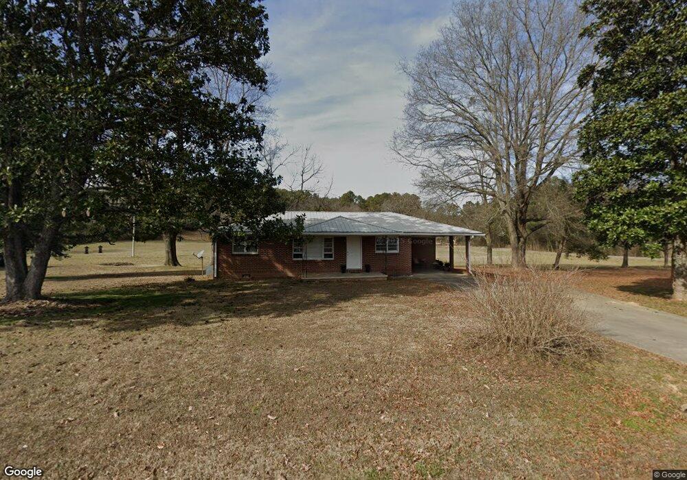
115 Scott Cir NW Calhoun, GA 30701
Estimated Value: $224,438 - $286,000
3
Beds
1
Bath
1,189
Sq Ft
$218/Sq Ft
Est. Value
About This Home
This home is located at 115 Scott Cir NW, Calhoun, GA 30701 and is currently estimated at $259,360, approximately $218 per square foot. 115 Scott Cir NW is a home located in Gordon County with nearby schools including Swain Elementary School, Ashworth Middle School, and Gordon Central High School.
Ownership History
Date
Name
Owned For
Owner Type
Purchase Details
Closed on
Nov 29, 2011
Sold by
Hsbc Bank Usa National Association
Bought by
Vest Terri V
Current Estimated Value
Home Financials for this Owner
Home Financials are based on the most recent Mortgage that was taken out on this home.
Original Mortgage
$80,612
Outstanding Balance
$54,266
Interest Rate
4.06%
Mortgage Type
New Conventional
Estimated Equity
$205,094
Purchase Details
Closed on
Apr 5, 2011
Sold by
Williams Catherine
Bought by
Hsbc Bank Usa National Association
Purchase Details
Closed on
May 31, 2005
Sold by
Dilbeck Lloyd
Bought by
Williams Catherine
Home Financials for this Owner
Home Financials are based on the most recent Mortgage that was taken out on this home.
Original Mortgage
$116,000
Interest Rate
5.66%
Mortgage Type
New Conventional
Create a Home Valuation Report for This Property
The Home Valuation Report is an in-depth analysis detailing your home's value as well as a comparison with similar homes in the area
Purchase History
| Date | Buyer | Sale Price | Title Company |
|---|---|---|---|
| Vest Terri V | $74,500 | -- | |
| Hsbc Bank Usa National Association | $75,000 | -- | |
| Williams Catherine | $145,000 | -- |
Source: Public Records
Mortgage History
| Date | Status | Borrower | Loan Amount |
|---|---|---|---|
| Open | Vest Terri V | $80,612 | |
| Previous Owner | Williams Catherine | $116,000 |
Source: Public Records
Map
Nearby Homes
- 102 Ray Rd NW
- 111 Ray Rd NW
- 109 Ray Rd NW
- 107 Ray Rd NW
- 105 Ray Rd NW
- 115 Gilmore Cir SW
- 150 Kings Ct SW
- 210 Madison Dr SW
- 651 Camelot Cir NW
- 153 Riverview Dr
- 413 Beamer Rd SW
- 111 Koufax Dr SW
- 148 Red Oak Ln
- 151 Red Oak Ln
- 154 Red Oak Ln
- 157 Red Oak Ln
- 0 Crest Dr Unit 7683027
- 309 Crest Dr
- 172 Red Oak Ln
- 169 Red Oak Ln
- 8 Scott Cir NW
- 00 Scott Cir NW
- 171 Scott Cir NW
- 211 Scott Cir NW
- 430 Herrington Bend Rd NW
- 235 Scott Cir NW
- 285 Scott Cir NW
- 178 Scott Cir NW
- 267 Scott Cir NW
- 297 Scott Cir NW
- 304 Herrington Bend Rd NW
- 186 Scott Cir NW
- 184 Scott Cir NW
- 248 Scott Cir NW
- 485 Herrington Bend Rd NW
- 290 Scott Cir NW
- 268 Scott Cir NW
- 520 Herrington Bend Rd NW
- 275 Herrington Bend Rd NW
- 214 Ray Rd NW
Your Personal Tour Guide
Ask me questions while you tour the home.