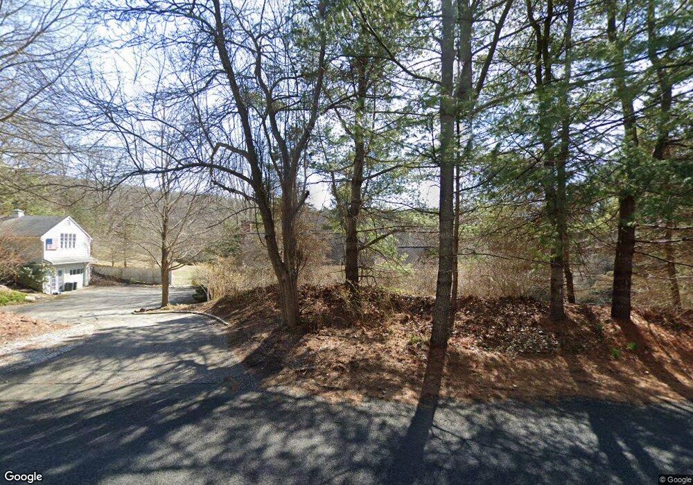
115 Squire Rd Roxbury, CT 06783
Estimated Value: $927,751 - $1,232,000
About This Home
This home is located at 115 Squire Rd, Roxbury, CT 06783 and is currently estimated at $1,060,688, approximately $902 per square foot. 115 Squire Rd is a home located in Litchfield County with nearby schools including Shepaug Valley School and The Gunnery.
Ownership History
We collect this data history from publicly available records. To have your information removed, we recommend requesting removal directly through your county’s website.
Purchase Details
Home Financials for this Owner
Home Financials are based on the most recent Mortgage that was taken out on this home.Purchase Details
Home Financials for this Owner
Home Financials are based on the most recent Mortgage that was taken out on this home.Home Values in the Area
Average Home Value in this Area
Purchase History
We collect this data history from publicly available records. To have your information removed, we recommend requesting removal directly through your county’s website.
| Date | Buyer | Sale Price | Title Company |
|---|---|---|---|
| $750,000 | -- | ||
| $750,000 | -- | ||
| $250,000 | -- | ||
| $250,000 | -- |
Mortgage History
We collect this data history from publicly available records. To have your information removed, we recommend requesting removal directly through your county’s website.
| Date | Status | Borrower | Loan Amount |
|---|---|---|---|
| Closed | $445,000 | ||
| Closed | $300,700 | ||
| Previous Owner | $150,000 |
Tax History
We collect this data history from publicly available records. To have your information removed, we recommend requesting removal directly through your county’s website.
| Year | Tax Paid | Tax Assessment Tax Assessment Total Assessment is a certain percentage of the fair market value that is determined by local assessors to be the total taxable value of land and additions on the property. | Land | Improvement |
|---|---|---|---|---|
| 2025 | $5,822 | $447,860 | $234,710 | $213,150 |
| 2024 | $5,643 | $447,860 | $234,710 | $213,150 |
| 2023 | $5,643 | $447,860 | $234,710 | $213,150 |
| 2022 | $6,224 | $408,160 | $251,490 | $156,670 |
| 2021 | $6,286 | $408,160 | $251,490 | $156,670 |
| 2020 | $6,449 | $408,160 | $251,490 | $156,670 |
| 2019 | $6,469 | $408,160 | $251,490 | $156,670 |
| 2018 | $6,469 | $408,160 | $251,490 | $156,670 |
| 2017 | $6,717 | $473,040 | $281,820 | $191,220 |
| 2016 | $6,501 | $474,560 | $281,820 | $192,740 |
| 2015 | $6,364 | $464,490 | $281,820 | $182,670 |
| 2014 | $6,224 | $464,490 | $281,820 | $182,670 |
Map
- 179 South St
- 47 Squire Rd
- 176 Apple Ln
- 286 South St
- 28 Garnet Rd
- 233 Southbury Rd
- 336 South St
- 99 Carriage Ln
- 50 Southbury Rd
- 31 Hickory Ln
- Lot 7 & Lot 8 Willow Brook Dr
- 579 Brown Brook Rd
- 24 Hickory Ln
- 20 Wellers Bridge Rd
- 0 Southbury Rd
- 25 Highmeadow Ln
- 45 Chalybes Rd
- 216 Baker Rd
- 88 Rucum Rd
- 85 Good Hill Rd
Ask me questions while you tour the home.