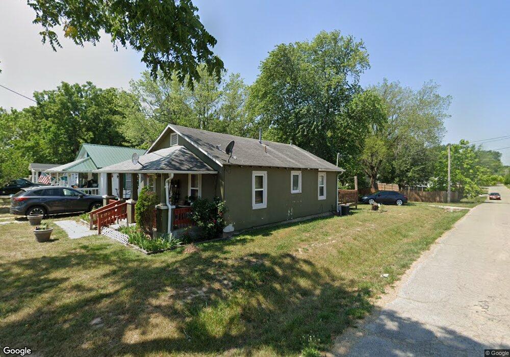
115 Warren St Richland, MO 65556
Estimated Value: $83,657 - $163,000
2
Beds
1
Bath
800
Sq Ft
$135/Sq Ft
Est. Value
About This Home
This home is located at 115 Warren St, Richland, MO 65556 and is currently estimated at $107,914, approximately $134 per square foot. 115 Warren St is a home located in Pulaski County with nearby schools including Richland Elementary School, Richland Jr. High School, and Richland High School.
Ownership History
Date
Name
Owned For
Owner Type
Purchase Details
Closed on
Jun 3, 2013
Sold by
Bank Of Crocker A Missouri Banking Corp
Bought by
Guyne Samuel K and Guyne Mareville S
Current Estimated Value
Home Financials for this Owner
Home Financials are based on the most recent Mortgage that was taken out on this home.
Original Mortgage
$26,832
Outstanding Balance
$5,785
Interest Rate
5%
Estimated Equity
$102,129
Create a Home Valuation Report for This Property
The Home Valuation Report is an in-depth analysis detailing your home's value as well as a comparison with similar homes in the area
Purchase History
We collect this data history from publicly available records. To have your information removed, we recommend requesting removal directly through your county’s website.
| Date | Buyer | Sale Price | Title Company |
|---|---|---|---|
| Guyne Samuel K | -- | -- |
Source: Public Records
Mortgage History
We collect this data history from publicly available records. To have your information removed, we recommend requesting removal directly through your county’s website.
| Date | Status | Borrower | Loan Amount |
|---|---|---|---|
| Open | Guyne Samuel K | $26,832 |
Source: Public Records
Tax History
| Year | Tax Paid | Tax Assessment Tax Assessment Total Assessment is a certain percentage of the fair market value that is determined by local assessors to be the total taxable value of land and additions on the property. | Land | Improvement |
|---|---|---|---|---|
| 2025 | $214 | $5,546 | $1,003 | $4,543 |
| 2024 | $214 | $4,966 | $836 | $4,130 |
| 2023 | $213 | $4,966 | $836 | $4,130 |
| 2022 | $209 | $4,966 | $836 | $4,130 |
| 2021 | $211 | $4,966 | $836 | $4,130 |
| 2020 | $204 | $5,369 | $0 | $0 |
| 2019 | $203 | $4,769 | $0 | $0 |
| 2018 | $203 | $4,769 | $0 | $0 |
| 2017 | $203 | $5,369 | $0 | $0 |
| 2016 | $203 | $4,770 | $0 | $0 |
| 2015 | -- | $4,770 | $0 | $0 |
| 2014 | $156 | $4,770 | $0 | $0 |
Source: Public Records
Map
Nearby Homes
- 220 Warren St
- 222 Warren St
- 23013 Rock Bluff Dr
- 402 N Chestnut St
- 8 Flora Dr
- 810 Mildred St
- 11 Flora Dr
- 204 E Mcclurg St
- TBD SW State Route 7
- TBD Route 7
- 112 Frisco St
- 514 O Dell Ave
- 718 E Main St
- 337 Cottonwood Branch
- 24939 Storm Break Dr
- 34555 Highway Ff
- 22798 River View Dr
- 26287 Radcliff Dr
- 271 Pleasant Knoll Rd
- 27 Pleasant Knoll Rd
- 113 Warren St
- 111 Warren St
- 201 Warren St
- 120 Chalfant St
- 110 Warren St
- 203 Warren St
- 202 Warren St
- 109 Warren St
- 202 Chalfant St
- 108 Warren St
- 204 Warren St
- 0 Chalfant Ave Unit 21084827
- 205 Warren St
- 319 Mildred St
- 118 Chalfant St
- 103 Warren St
- 206 Warren St
- 121 Chalfant St
- 317 Mildred St
- 106 Warren St
Your Personal Tour Guide
Ask me questions while you tour the home.