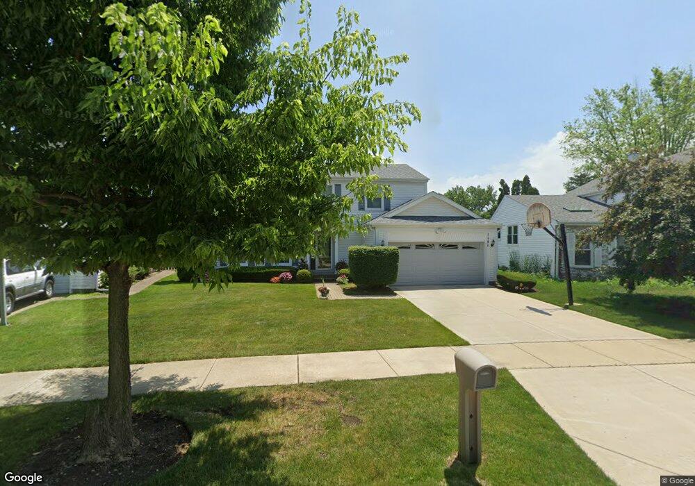
1151 Devonshire Rd Buffalo Grove, IL 60089
Prairie Park-Lake County NeighborhoodEstimated Value: $552,522 - $601,000
About This Home
This home is located at 1151 Devonshire Rd, Buffalo Grove, IL 60089 and is currently estimated at $577,631, approximately $262 per square foot. 1151 Devonshire Rd is a home located in Lake County with nearby schools including Prairie Elementary School, Twin Groves Middle School, and Adlai E Stevenson High School.
Ownership History
We collect this data history from publicly available records. To have your information removed, we recommend requesting removal directly through your county’s website.
Purchase Details
Purchase Details
Home Financials for this Owner
Home Financials are based on the most recent Mortgage that was taken out on this home.Purchase Details
Home Financials for this Owner
Home Financials are based on the most recent Mortgage that was taken out on this home.Purchase Details
Home Values in the Area
Average Home Value in this Area
Purchase History
We collect this data history from publicly available records. To have your information removed, we recommend requesting removal directly through your county’s website.
| Date | Buyer | Sale Price | Title Company |
|---|---|---|---|
| -- | None Listed On Document | ||
| $340,000 | Chicago Title Insurance Co | ||
| -- | Chicago Title Insurance Co | ||
| -- | Chicago Title Insurance Co |
Mortgage History
We collect this data history from publicly available records. To have your information removed, we recommend requesting removal directly through your county’s website.
| Date | Status | Borrower | Loan Amount |
|---|---|---|---|
| Previous Owner | $250,000 | ||
| Previous Owner | $155,000 |
Tax History
We collect this data history from publicly available records. To have your information removed, we recommend requesting removal directly through your county’s website.
| Year | Tax Paid | Tax Assessment Tax Assessment Total Assessment is a certain percentage of the fair market value that is determined by local assessors to be the total taxable value of land and additions on the property. | Land | Improvement |
|---|---|---|---|---|
| 2025 | $14,501 | $172,792 | $37,507 | $135,285 |
| 2024 | $14,053 | $153,668 | $33,356 | $120,312 |
| 2023 | $13,319 | $144,997 | $31,474 | $113,523 |
| 2022 | $13,319 | $133,736 | $29,030 | $104,706 |
| 2021 | $12,815 | $132,294 | $28,717 | $103,577 |
| 2020 | $12,513 | $132,745 | $28,815 | $103,930 |
| 2019 | $12,341 | $132,256 | $28,709 | $103,547 |
| 2018 | $6,417 | $132,620 | $28,374 | $104,246 |
| 2017 | $11,767 | $129,525 | $27,712 | $101,813 |
| 2016 | $11,460 | $124,030 | $26,536 | $97,494 |
| 2015 | $11,157 | $115,992 | $24,816 | $91,176 |
| 2014 | $10,089 | $104,326 | $26,652 | $77,674 |
| 2012 | $10,015 | $104,535 | $26,705 | $77,830 |
Map
- 1124 Brandywyn Ct
- 1170 Green Knolls Dr
- 791 Thompson Blvd Unit 2
- 701 Thompson Blvd
- 631 Thompson Blvd
- 720 Checker Dr
- 1100 Lockwood Dr
- 1380 Logsdon Ln
- 711 Woodhollow Ln
- 680 Indian Spring Ln
- 1120 Thompson Blvd
- 5176 Aptakisic Rd
- 879 Burgess Cir Unit 8801
- 5107 N Arlington Heights Rd
- 503 Lasalle Ln Unit 2
- 405 Caren Dr
- 1090 Pine Tree Cir N
- 5152 Bridlewood Ln
- 981 Pine Tree Cir S
- 1336 Fairfax Ln Unit B62
- 1157 Devonshire Rd
- 1145 Devonshire Rd
- 1163 Devonshire Rd
- 1154 Devonshire Rd
- 1144 Devonshire Rd
- 1169 Devonshire Rd
- 1137 Devonshire Rd
- 1164 Devonshire Rd
- 1134 Devonshire Rd
- 1175 Devonshire Rd Unit 1
- 1174 Devonshire Rd
- 1133 Devonshire Rd
- 1130 Brandywyn Ct
- 1165 Dayton Rd
- 1166 Brandywyn Ln
- 1155 Dayton Rd
- 1124 Devonshire Rd
- 1172 Brandywyn Ln
- 1175 Dayton Rd
- 1181 Devonshire Rd
Ask me questions while you tour the home.