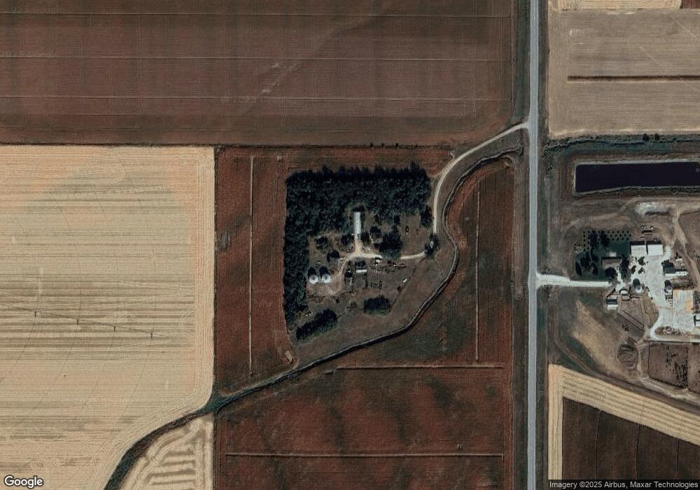
1151 Highway 9 West Point, NE 68788
West Point AreaEstimated Value: $442,000 - $764,249
Studio
2
Baths
1,984
Sq Ft
$304/Sq Ft
Est. Value
About This Home
This home is located at 1151 Highway 9, West Point, NE 68788 and is currently estimated at $603,125, approximately $303 per square foot. 1151 Highway 9 is a home located in Cuming County with nearby schools including West Point-Beemer Junior/Senior High School, Guardian Angels Elementary School, and St. Paul Lutheran School.
Create a Home Valuation Report for This Property
The Home Valuation Report is an in-depth analysis detailing your home's value as well as a comparison with similar homes in the area
Map
Nearby Homes
- 1493 Hwy 275 Lot 17
- 1246 Prinz St
- 130 W Neligh St
- 333 N Lincoln St
- 1402 E Bridge St
- 101 S Main St
- 137 S Monitor St
- 629 E Grove St
- 749 E Grove St
- 925 E Grove St
- 326 S Maple St
- 643 E Sherman St
- 756 18th Rd
- 1028 E Sheridan St
- 703 S Colfax St
- 703 S Niphon St
- 1559 S Lincoln St
- 938 3rd St
- 110 Beemer Rd
- 821 2nd St
Your Personal Tour Guide
Ask me questions while you tour the home.