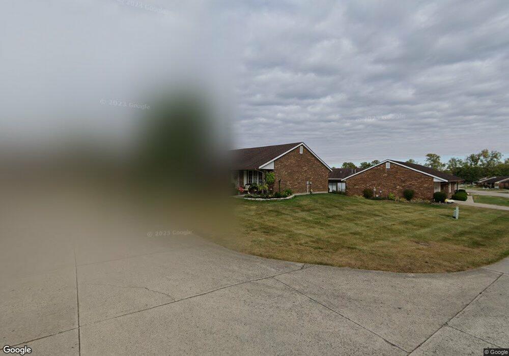
1152 Armsgate Rd Springfield, OH 45503
Estimated Value: $192,432 - $198,000
2
Beds
2
Baths
1,300
Sq Ft
$150/Sq Ft
Est. Value
About This Home
This home is located at 1152 Armsgate Rd, Springfield, OH 45503 and is currently estimated at $195,358, approximately $150 per square foot. 1152 Armsgate Rd is a home located in Clark County with nearby schools including Northridge Elementary School, Kenton Ridge Middle & High School, and Emmanuel Christian Academy.
Ownership History
Date
Name
Owned For
Owner Type
Purchase Details
Closed on
Nov 10, 2016
Sold by
Pacine Etta Imogene and Pacine Etta
Bought by
Pacine Etta Imogene and Etta Imogene Pacine Revocable
Current Estimated Value
Purchase Details
Closed on
Oct 16, 1998
Sold by
Fannin Brenda G and Salyers Brenda G
Bought by
Salyers Jack A and Salyers Brenda G
Home Financials for this Owner
Home Financials are based on the most recent Mortgage that was taken out on this home.
Original Mortgage
$37,500
Interest Rate
6.88%
Create a Home Valuation Report for This Property
The Home Valuation Report is an in-depth analysis detailing your home's value as well as a comparison with similar homes in the area
Home Values in the Area
Average Home Value in this Area
Purchase History
| Date | Buyer | Sale Price | Title Company |
|---|---|---|---|
| Pacine Etta Imogene | -- | None Available | |
| Salyers Jack A | -- | -- |
Source: Public Records
Mortgage History
| Date | Status | Borrower | Loan Amount |
|---|---|---|---|
| Previous Owner | Pacine Eugene | $87,300 | |
| Previous Owner | Salyers Jack A | $37,500 |
Source: Public Records
Tax History
| Year | Tax Paid | Tax Assessment Tax Assessment Total Assessment is a certain percentage of the fair market value that is determined by local assessors to be the total taxable value of land and additions on the property. | Land | Improvement |
|---|---|---|---|---|
| 2025 | $1,322 | $54,110 | $7,350 | $46,760 |
| 2024 | $1,304 | $40,940 | $6,300 | $34,640 |
| 2023 | $1,304 | $40,940 | $6,300 | $34,640 |
| 2022 | $1,326 | $40,940 | $6,300 | $34,640 |
| 2021 | $1,312 | $36,050 | $5,250 | $30,800 |
| 2020 | $1,314 | $36,050 | $5,250 | $30,800 |
| 2019 | $1,340 | $36,050 | $5,250 | $30,800 |
| 2018 | $1,204 | $32,500 | $5,570 | $26,930 |
| 2017 | $1,024 | $31,010 | $5,565 | $25,445 |
| 2016 | $1,016 | $31,010 | $5,565 | $25,445 |
| 2015 | $434 | $30,695 | $5,250 | $25,445 |
| 2014 | $434 | $30,695 | $5,250 | $25,445 |
| 2013 | $433 | $30,695 | $5,250 | $25,445 |
Source: Public Records
Map
Nearby Homes
- 3052 Brixton Dr E
- 1136 Foxboro Rd Unit 202
- 1139 Bradford Dr
- 1039 Bradford Dr Unit 42
- 1013 Abington Place
- 1031 Armsgate Rd Unit 11
- 1201 Kingsgate Rd
- 3631 Kingsgate Ln
- 1500 Kingsgate Rd Unit 19430
- 1502 Kingsgate Rd Unit 19432
- 1500 Kingsgate Rd
- 1502 Kingsgate Rd
- 1503 Kingsgate Rd
- 1505 Kingsgate Rd
- 1507 Kingsgate Rd
- 3211 Haverhill St
- 1404 Providence Ave
- 2022 Westboro Ave
- 3124 El Camino Dr
- 1811 Saint Andrews Ct
- 1150 Armsgate Rd Unit 184
- 1150 Armsgate Rd
- 1151 Foxboro Rd
- 1151 Foxboro Rd
- 3065 Brixton Dr E
- 3072 Brixton Dr E Unit 93
- 3072 Brixton Dr E
- 3076 Brixton Dr E
- 1148 Armsgate Rd Unit 183
- 1149 Armsgate Rd
- 1147 Foxboro Rd Unit 189
- 3068 Brixton Dr E Unit 92
- 3080 Brixton Dr E
- 3061 Brixton Dr E Unit 147
- 3061 Brixton Dr E
- 1145 Foxboro Rd Unit 190
- 1145 Foxboro Rd
- 3064 Brixton Dr E
- 1146 Armsgate Rd Unit 182
- 3084 Brixton Dr E Unit 96
Your Personal Tour Guide
Ask me questions while you tour the home.