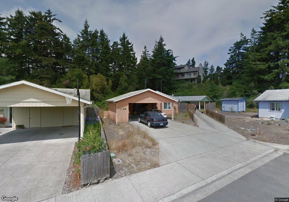
1155 Laurel Ct Florence, OR 97439
Estimated Value: $331,304 - $412,000
About This Home
This home is located at 1155 Laurel Ct, Florence, OR 97439 and is currently estimated at $357,326, approximately $333 per square foot. 1155 Laurel Ct is a home located in Lane County with nearby schools including Siuslaw Elementary School, Siuslaw Middle School, and Siuslaw High School.
Ownership History
We collect this data history from publicly available records. To have your information removed, we recommend requesting removal directly through your county’s website.
Purchase Details
Purchase Details
Home Financials for this Owner
Home Financials are based on the most recent Mortgage that was taken out on this home.Home Values in the Area
Average Home Value in this Area
Purchase History
We collect this data history from publicly available records. To have your information removed, we recommend requesting removal directly through your county’s website.
| Date | Buyer | Sale Price | Title Company |
|---|---|---|---|
| $50,000 | Fidelity Natl Title Co Of Or | ||
| $200,000 | First American Title |
Mortgage History
We collect this data history from publicly available records. To have your information removed, we recommend requesting removal directly through your county’s website.
| Date | Status | Borrower | Loan Amount |
|---|---|---|---|
| Previous Owner | $103,200 |
Tax History
We collect this data history from publicly available records. To have your information removed, we recommend requesting removal directly through your county’s website.
| Year | Tax Paid | Tax Assessment Tax Assessment Total Assessment is a certain percentage of the fair market value that is determined by local assessors to be the total taxable value of land and additions on the property. | Land | Improvement |
|---|---|---|---|---|
| 2025 | $2,459 | $180,253 | -- | -- |
| 2024 | $2,388 | $175,003 | -- | -- |
| 2023 | $2,388 | $169,906 | $0 | $0 |
| 2022 | $2,228 | $164,958 | $0 | $0 |
| 2021 | $2,182 | $160,154 | $0 | $0 |
| 2020 | $2,125 | $155,490 | $0 | $0 |
| 2019 | $2,046 | $150,962 | $0 | $0 |
| 2018 | $2,050 | $142,297 | $0 | $0 |
| 2017 | $1,977 | $142,297 | $0 | $0 |
| 2016 | $1,913 | $138,152 | $0 | $0 |
| 2015 | $1,835 | $134,128 | $0 | $0 |
| 2014 | $1,843 | $132,218 | $0 | $0 |
Map
- 1431 Maple St
- 1142 9th St
- 983 Jasper Ln
- 118 Park Village Loop
- 1150 Hemlock St Unit B8
- 1150 Hemlock St Unit C11
- 1150 Hemlock St Unit D14
- 1036 9th St
- 1495 8th St
- 935 Hemlock St
- 1335 7th St
- 1116 7th St
- 1179 6th St
- 420 Juniper St
- 833 Rhododendron Dr
- 1320 Spruce St
- 2040 11th St
- 1640 19th St
- 1903 17th St
- 1415 20th St
- 1135 Laurel Ct
- 1165 Laurel Ct
- 1175 Laurel Ct
- 1115 Laurel Ct
- 1185 Laurel St
- 1185 Laurel Ct
- 1231 Laurel St
- 1230 Laurel St
- 1220 Kingwood St
- 1320 Mulberry Ln
- 1145 Maple St
- 1255 Laurel St
- 1374 12th St
- 1330 Mulberry Ln
- 1230 Kingwood St
- 1280 Laurel St
- 1260 Kingwood St
- 1335 Mulberry Ln
- 1350 Mulberry Ln
- 1304 Laurel St
Ask me questions while you tour the home.