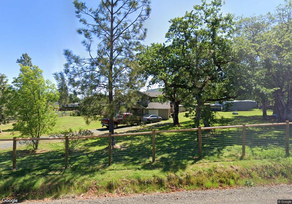
11556 Michael Rd Central Point, OR 97502
Estimated Value: $436,471 - $522,000
3
Beds
2
Baths
1,568
Sq Ft
$313/Sq Ft
Est. Value
About This Home
This home is located at 11556 Michael Rd, Central Point, OR 97502 and is currently estimated at $490,490, approximately $312 per square foot. 11556 Michael Rd is a home located in Jackson County with nearby schools including Sams Valley Elementary School, Hanby Middle School, and Crater High School.
Ownership History
Date
Name
Owned For
Owner Type
Purchase Details
Closed on
Oct 31, 2002
Sold by
Schmidt Richard C
Bought by
Johnson Deborah K and The Deborah K Johnson Living T
Current Estimated Value
Purchase Details
Closed on
Jan 30, 1998
Sold by
Moore Richard Lee and Moore Raylene D
Bought by
Moore Richard L and Moore Raylene D
Home Financials for this Owner
Home Financials are based on the most recent Mortgage that was taken out on this home.
Original Mortgage
$136,850
Interest Rate
6.95%
Mortgage Type
VA
Create a Home Valuation Report for This Property
The Home Valuation Report is an in-depth analysis detailing your home's value as well as a comparison with similar homes in the area
Purchase History
| Date | Buyer | Sale Price | Title Company |
|---|---|---|---|
| Johnson Deborah K | $115,000 | Amerititle | |
| Moore Richard L | -- | Amerititle |
Source: Public Records
Mortgage History
| Date | Status | Borrower | Loan Amount |
|---|---|---|---|
| Previous Owner | Moore Richard L | $136,850 |
Source: Public Records
Tax History
| Year | Tax Paid | Tax Assessment Tax Assessment Total Assessment is a certain percentage of the fair market value that is determined by local assessors to be the total taxable value of land and additions on the property. | Land | Improvement |
|---|---|---|---|---|
| 2026 | $3,137 | $256,820 | -- | -- |
| 2025 | $3,055 | $249,340 | $106,090 | $143,250 |
| 2024 | $3,055 | $242,080 | $96,280 | $145,800 |
| 2023 | $2,955 | $235,030 | $93,470 | $141,560 |
| 2022 | $2,828 | $235,030 | $93,470 | $141,560 |
| 2021 | $2,748 | $228,190 | $90,750 | $137,440 |
| 2020 | $2,668 | $221,550 | $88,100 | $133,450 |
| 2019 | $2,607 | $208,840 | $83,050 | $125,790 |
| 2018 | $2,526 | $202,760 | $80,630 | $122,130 |
| 2017 | $2,466 | $202,760 | $80,630 | $122,130 |
| 2016 | $2,394 | $191,130 | $76,000 | $115,130 |
| 2015 | $2,306 | $191,130 | $76,000 | $115,130 |
| 2014 | $2,251 | $180,170 | $71,630 | $108,540 |
Source: Public Records
Map
Nearby Homes
- 11220 Duggan Rd
- 0 Perry Rd
- 10695 Kildee Ave
- 10695 Killdee Ave
- 13290 Table Rock Rd
- 395 Robleda Dr
- 0 Duggan Rd Unit 220198974
- 13007 Perry Rd
- 377 Pelton Ln
- 11322 Modoc Rd
- 12214 Modoc Rd
- 0 Winnetka Rd
- 12240 Modoc Rd Unit A
- 12240 Modoc Rd Unit B
- 12240 Modoc Rd Unit C
- 12940 Highway 234
- 12950 Highway 234
- 7426 Denman Ct
- 12310 Ramsey Rd
- 13327 Highway 234
- 11590 Michael Rd
- 11606 Michael Rd
- 11555 Michael Rd
- 11516 Michael Rd
- 11611 Michael Rd
- 11751 Dixie Rd
- 11753 Dixie Rd
- 11743 Dixie Rd
- 11765 Dixie Rd
- 11693 Dixie Rd
- 11688 Michael Rd
- 11688 Michael Rd Unit TL435
- 11576 Dennis Rd
- 11455 Michael Rd
- 11759 Dixie Rd
- 11454 Michael Rd
- 11750 Dixie Rd
- 11754 Dixie Rd
- 11731 Dixie Rd
- 0 Dixie Rd
Your Personal Tour Guide
Ask me questions while you tour the home.