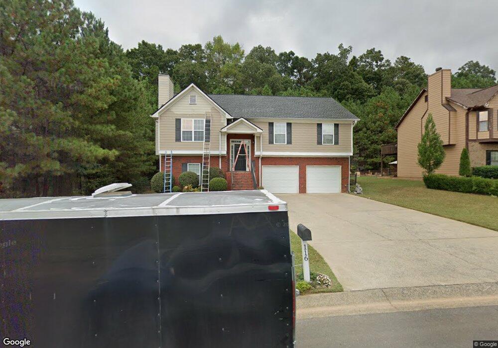
116 Denali Dr Calhoun, GA 30701
Estimated Value: $262,000 - $288,000
About This Home
This home is located at 116 Denali Dr, Calhoun, GA 30701 and is currently estimated at $274,731, approximately $131 per square foot. 116 Denali Dr is a home located in Gordon County with nearby schools including Calhoun Elementary School, Calhoun Middle School, and Calhoun High School.
Ownership History
We collect this data history from publicly available records. To have your information removed, we recommend requesting removal directly through your county’s website.
Purchase Details
Home Financials for this Owner
Home Financials are based on the most recent Mortgage that was taken out on this home.Purchase Details
Purchase Details
Purchase History
We collect this data history from publicly available records. To have your information removed, we recommend requesting removal directly through your county’s website.
| Date | Buyer | Sale Price | Title Company |
|---|---|---|---|
| $139,830 | -- | ||
| $26,000 | -- | ||
| -- | -- |
Mortgage History
We collect this data history from publicly available records. To have your information removed, we recommend requesting removal directly through your county’s website.
| Date | Status | Borrower | Loan Amount |
|---|---|---|---|
| Open | $111,800 |
Tax History
We collect this data history from publicly available records. To have your information removed, we recommend requesting removal directly through your county’s website.
| Year | Tax Paid | Tax Assessment Tax Assessment Total Assessment is a certain percentage of the fair market value that is determined by local assessors to be the total taxable value of land and additions on the property. | Land | Improvement |
|---|---|---|---|---|
| 2025 | $2,904 | $111,200 | $5,440 | $105,760 |
| 2023 | $2,468 | $88,440 | $5,440 | $83,000 |
| 2022 | $765 | $82,360 | $5,440 | $76,920 |
| 2021 | $1,855 | $62,960 | $4,760 | $58,200 |
| 2020 | $1,844 | $62,080 | $4,760 | $57,320 |
| 2019 | $1,841 | $62,080 | $4,760 | $57,320 |
| 2018 | $497 | $53,600 | $5,200 | $48,400 |
| 2017 | $484 | $51,240 | $5,200 | $46,040 |
| 2016 | $485 | $51,240 | $5,200 | $46,040 |
| 2015 | $484 | $50,480 | $5,200 | $45,280 |
| 2014 | $469 | $49,662 | $5,236 | $44,426 |
Map
- 103 Denali Dr
- 384 Cartecay Dr
- 137 Avalon Dr
- 608 Riverside Dr NW
- 111 Bent Blvd
- 140 Crystal River Dr
- 377 Cartecay Dr
- 107 Colton Dr
- 109 Brent Blvd
- 741 Riverside Dr NW
- 803 Riverside Dr
- 516 Mcginnis Cir
- 502 Mcginnis Cir
- 403 Mcginnis Cir
- 156 Parker Dr NW
- 405 Crowley Dr
- 105 McEntyre Ct
- 000 Mauldin Rd
- 212 Mcginnis Cir
- 201 Mcginnis Cir
- 114 Denali Dr
- 110 Denali Dr
- 110 Denali Dr Unit 28
- 108 Denali Dr
- 309 Cooper Ln
- 111 Denali Dr
- 111 Denali Dr Unit 41
- 106 Denali Dr
- 118 Denali Dr
- 113 Denali Dr
- 105 Denali Dr
- 109 Denali Dr
- 107 Denali Dr
- 115 Denali Dr
- 120 Denali Dr
- 104 Denali Dr
- 117 Denali Dr
- 611 Riverside Dr NW
- 613 Riverside Dr NW
- 613 Riverside Dr NW Unit 47
Ask me questions while you tour the home.