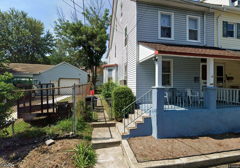
116 Maple St Morton, PA 19070
Estimated Value: $200,000 - $283,000
3
Beds
1
Bath
1,525
Sq Ft
$163/Sq Ft
Est. Value
About This Home
This home is located at 116 Maple St, Morton, PA 19070 and is currently estimated at $247,840, approximately $162 per square foot. 116 Maple St is a home located in Delaware County with nearby schools including Springfield High School and St Francis Of Assisi School.
Ownership History
Date
Name
Owned For
Owner Type
Purchase Details
Closed on
Sep 11, 2025
Sold by
Neal Richard A
Bought by
Neal Estates Llc
Current Estimated Value
Purchase Details
Closed on
Apr 27, 1998
Sold by
Neal Rachel and Bean Evelyn W
Bought by
Neal Richard A
Home Financials for this Owner
Home Financials are based on the most recent Mortgage that was taken out on this home.
Original Mortgage
$31,500
Interest Rate
6.72%
Mortgage Type
Purchase Money Mortgage
Create a Home Valuation Report for This Property
The Home Valuation Report is an in-depth analysis detailing your home's value as well as a comparison with similar homes in the area
Home Values in the Area
Average Home Value in this Area
Purchase History
| Date | Buyer | Sale Price | Title Company |
|---|---|---|---|
| Neal Estates Llc | $35,000 | Land Services Usa | |
| Neal Richard A | $35,000 | T A Title Insurance Company |
Source: Public Records
Mortgage History
| Date | Status | Borrower | Loan Amount |
|---|---|---|---|
| Previous Owner | Neal Richard A | $31,500 |
Source: Public Records
Tax History
| Year | Tax Paid | Tax Assessment Tax Assessment Total Assessment is a certain percentage of the fair market value that is determined by local assessors to be the total taxable value of land and additions on the property. | Land | Improvement |
|---|---|---|---|---|
| 2025 | $3,811 | $122,200 | $29,160 | $93,040 |
| 2024 | $3,811 | $122,200 | $29,160 | $93,040 |
| 2023 | $2,864 | $122,200 | $29,160 | $93,040 |
| 2022 | $3,647 | $122,200 | $29,160 | $93,040 |
| 2021 | $265 | $5,980 | $3,690 | $2,290 |
| 2020 | $2,188 | $43,000 | $43,000 | $0 |
| 2019 | $2,146 | $43,000 | $43,000 | $0 |
| 2018 | $2,119 | $43,000 | $0 | $0 |
| 2017 | $2,079 | $43,000 | $0 | $0 |
| 2016 | $241 | $43,000 | $0 | $0 |
| 2015 | $241 | $43,000 | $0 | $0 |
| 2014 | $241 | $43,000 | $0 | $0 |
Source: Public Records
Map
Nearby Homes
- 7 & 0 Woodland Ave
- 507 School St
- 2 Yale Ave
- 1015 Mitchell Ave
- 21 Faraday Ct
- 933 Greenbriar Ln
- 114 Providence Rd
- 1907 Pershing Ave
- 1323 Morton Ave
- 658 E Leamy Ave
- 846 Bobwhite Ln
- 120 Rutledge Ave
- 880 Quaint St
- 2379 Mole Rd
- 216-218 President Ave
- 201 W Sylvan Ave
- 743 Hickory Rd
- 1022 Crozer Ln
- 838 Springhill Rd
- 1005 Edwards Dr
- 118 Maple St
- 101 Walnut St
- 110 Pennington Ave
- 30 Pennington Ave
- 109 Walnut St
- 37 Walnut St
- 37 Walnut St Unit STUDIO
- 37 Walnut St Unit 2
- 112 Pennington Ave
- 28 Pennington Ave
- 35 Walnut St
- 101 Pennington Ave
- 107 Pennington Ave
- 111 Walnut St
- 35 Pennington Ave
- 33 Walnut St
- 33 Pennington Ave
- 31 Walnut St
- 109 School St
- 111 School St
Your Personal Tour Guide
Ask me questions while you tour the home.