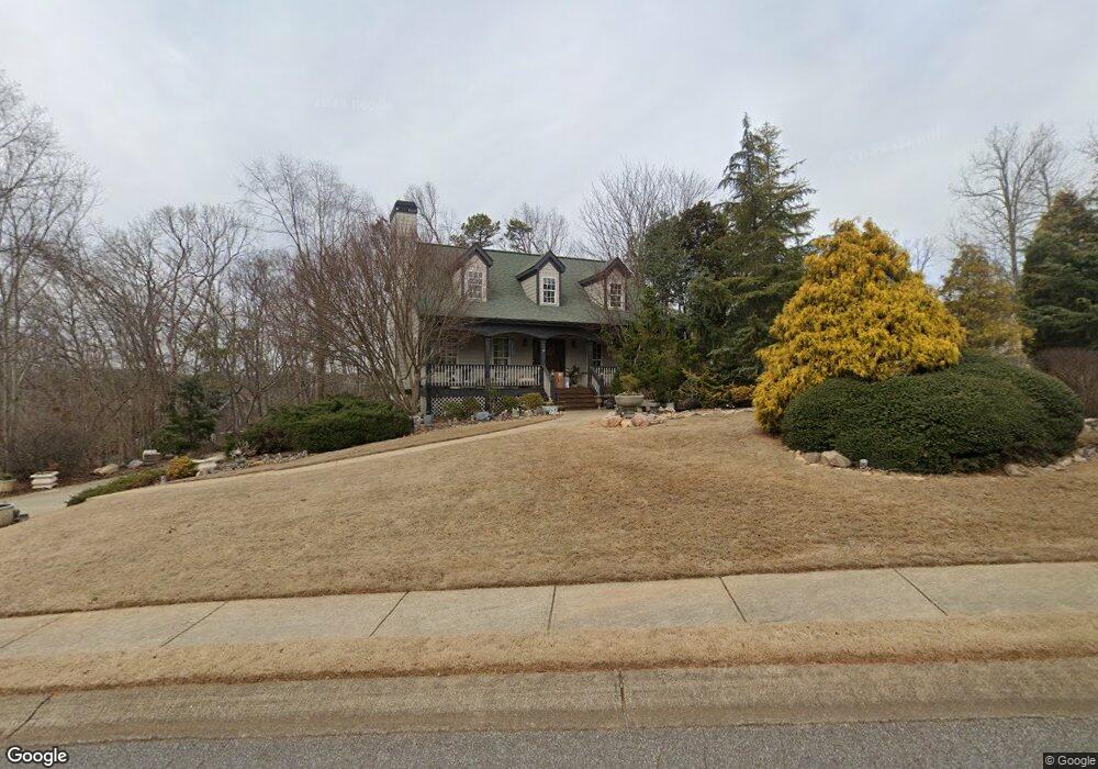
116 Silver Creek Dr Unit 1 Canton, GA 30114
Waleska AreaEstimated Value: $370,472 - $456,000
About This Home
This home is located at 116 Silver Creek Dr Unit 1, Canton, GA 30114 and is currently estimated at $413,236, approximately $241 per square foot. 116 Silver Creek Dr Unit 1 is a home located in Cherokee County with nearby schools including R. M. Moore Elementary School, Teasley Middle School, and Cherokee High School.
Ownership History
We collect this data history from publicly available records. To have your information removed, we recommend requesting removal directly through your county’s website.
Purchase Details
Home Values in the Area
Average Home Value in this Area
Purchase History
We collect this data history from publicly available records. To have your information removed, we recommend requesting removal directly through your county’s website.
| Date | Buyer | Sale Price | Title Company |
|---|---|---|---|
| $177,900 | -- |
Mortgage History
We collect this data history from publicly available records. To have your information removed, we recommend requesting removal directly through your county’s website.
| Date | Status | Borrower | Loan Amount |
|---|---|---|---|
| Open | $210,000 | ||
| Closed | $158,500 |
Tax History
We collect this data history from publicly available records. To have your information removed, we recommend requesting removal directly through your county’s website.
| Year | Tax Paid | Tax Assessment Tax Assessment Total Assessment is a certain percentage of the fair market value that is determined by local assessors to be the total taxable value of land and additions on the property. | Land | Improvement |
|---|---|---|---|---|
| 2025 | $756 | $132,520 | $37,200 | $95,320 |
| 2024 | $732 | $131,200 | $37,200 | $94,000 |
| 2023 | $614 | $137,760 | $35,200 | $102,560 |
| 2022 | $683 | $105,680 | $28,400 | $77,280 |
| 2021 | $668 | $86,800 | $20,000 | $66,800 |
| 2020 | $2,316 | $86,520 | $20,000 | $66,520 |
| 2019 | $2,174 | $80,400 | $20,000 | $60,400 |
| 2018 | $2,022 | $73,400 | $17,600 | $55,800 |
| 2017 | $1,870 | $167,900 | $17,600 | $49,560 |
| 2016 | $1,890 | $168,100 | $17,600 | $49,640 |
| 2015 | $1,832 | $161,500 | $14,400 | $50,200 |
| 2014 | $1,683 | $148,600 | $14,400 | $45,040 |
Map
- 924 Whistler Ln
- 924 Whistler Ln Unit 66
- 922 Whistler Ln Unit 67
- 922 Whistler Ln
- 939 Whistler Ln
- 920 Whistler Ln
- 920 Whistler Ln Unit 68
- 912 Whistler Ln
- 912 Whistler Ln Unit 72
- 218 Spearfish Dr
- 930 Dry Pond Ln
- 2022 Pleasant Union Rd
- 919 Dry Pond Ln
- 14402 Fincher Rd
- 2200 Upper Burris Rd
- 257 Stancil Rd
- 14430 Fincher Rd
- 91 Ridge Creek Ct
- 612 Beaver Ridge Rd
- LT 167 Henderson Mountain Rd
- 118 Silver Creek Dr
- 120 Silver Creek Dr
- 121 Silver Creek Dr
- 122 Silver Creek Dr
- 123 Silver Creek Dr
- 403 Shoepeg Way
- 400 Shoepeg Way
- 114 Silver Creek Dr
- 119 Silver Creek Dr
- 406 Shoepeg Way
- 402 Shoepeg Way
- 404 Shoepeg Way
- 125 Silver Creek Dr
- 302 Winnipeg Ct
- 405 Shoepeg Way Unit 1
- 124 Silver Creek Dr
- 408 Shoepeg Way
- 301 Winnipeg Ct
- 127 Silver Creek Dr
- 126 Silver Creek Dr
Ask me questions while you tour the home.