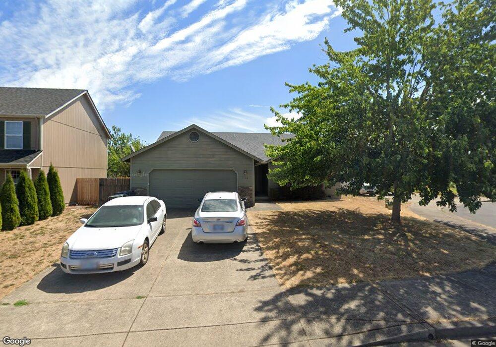
1160 Hazelnut Ct Creswell, OR 97426
Estimated Value: $429,332 - $481,000
About This Home
This home is located at 1160 Hazelnut Ct, Creswell, OR 97426 and is currently estimated at $454,833, approximately $319 per square foot. 1160 Hazelnut Ct is a home located in Lane County with nearby schools including Creslane Elementary School, Creswell Middle School, and Creswell High School.
Ownership History
We collect this data history from publicly available records. To have your information removed, we recommend requesting removal directly through your county’s website.
Purchase Details
Purchase Details
Home Financials for this Owner
Home Financials are based on the most recent Mortgage that was taken out on this home.Purchase Details
Home Financials for this Owner
Home Financials are based on the most recent Mortgage that was taken out on this home.Home Values in the Area
Average Home Value in this Area
Purchase History
We collect this data history from publicly available records. To have your information removed, we recommend requesting removal directly through your county’s website.
| Date | Buyer | Sale Price | Title Company |
|---|---|---|---|
| -- | None Listed On Document | ||
| $180,000 | Western Title & Escrow | ||
| $170,875 | Evergreen Land Title Co |
Mortgage History
We collect this data history from publicly available records. To have your information removed, we recommend requesting removal directly through your county’s website.
| Date | Status | Borrower | Loan Amount |
|---|---|---|---|
| Previous Owner | $125,001 | ||
| Previous Owner | $170,870 |
Tax History
We collect this data history from publicly available records. To have your information removed, we recommend requesting removal directly through your county’s website.
| Year | Tax Paid | Tax Assessment Tax Assessment Total Assessment is a certain percentage of the fair market value that is determined by local assessors to be the total taxable value of land and additions on the property. | Land | Improvement |
|---|---|---|---|---|
| 2025 | $3,444 | $209,840 | -- | -- |
| 2024 | $2,576 | $203,729 | -- | -- |
| 2023 | $2,576 | $197,796 | $0 | $0 |
| 2022 | $2,775 | $192,035 | $0 | $0 |
| 2021 | $2,681 | $186,442 | $0 | $0 |
| 2020 | $2,643 | $181,012 | $0 | $0 |
| 2019 | $2,585 | $175,740 | $0 | $0 |
| 2018 | $2,549 | $165,652 | $0 | $0 |
| 2017 | $2,472 | $165,652 | $0 | $0 |
| 2016 | $2,532 | $160,827 | $0 | $0 |
| 2015 | $2,440 | $156,143 | $0 | $0 |
| 2014 | $2,420 | $151,595 | $0 | $0 |
Map
- 203 Copper Way
- 41 Sandalwood Loop
- 326 Auburn Ln
- 158 Canary Ave
- 83354 N Pacific Hwy
- 239 Blue Jay Loop
- 573 Creswood Dr
- 524 N 5th St
- 700 N Mill St Unit 69
- 444 N 1st St
- 286 N 6th St
- 460 Meadow Ln
- 132 N 8th St
- 1055 Ash Grove Loop
- 1121 Cedar Place
- 395 Ironwood Loop
- 245 S 2nd St
- 325 Ironwood Loop
- 1237 Spyglass Ct
- 478 Pebble Beach Dr
- 256 Camrin Loop
- 10 Unknown Ct
- 1220 Creswood Dr
- 1193 Hazelnut Ct
- 1182 Creswood Dr
- 237 Camrin Loop
- 1204 Creswood Dr
- 259 Camrin Loop
- 1233 Hazelnut Ct
- 1238 Creswood Dr
- 215 Camrin Loop
- 281 Camrin Loop
- 1256 Creswood Dr
- 1253 Hazelnut Ct
- 1020 Hazelnut Ct
- 220 Honkers St
- 1048 Creswood Dr
- 1274 Creswood Dr
- 1185 Creswood Dr
- 1203 Creswood Dr
Ask me questions while you tour the home.