11607 Colerain Rd Unit 2 Cincinnati, OH 45252
Estimated Value: $725,000 - $788,484
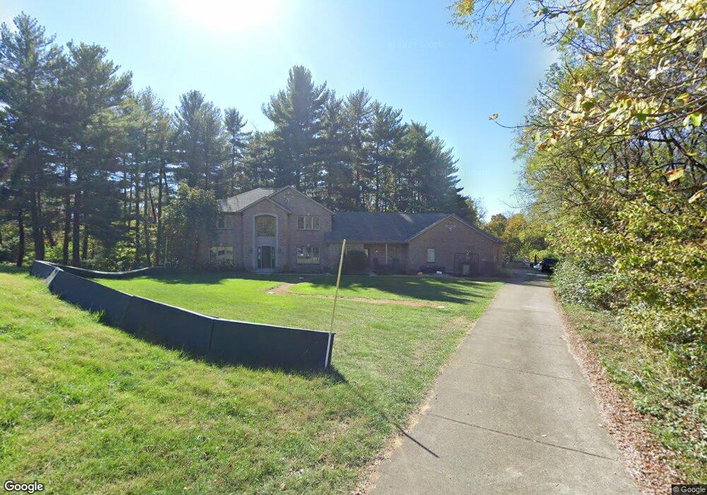
About This Home
This home is located at 11607 Colerain Rd Unit 2, Cincinnati, OH 45252 and is currently estimated at $757,371, approximately $190 per square foot. 11607 Colerain Rd Unit 2 is a home located in Hamilton County with nearby schools including Colerain Elementary School, Colerain Middle School, and Colerain High School.
Ownership History
We collect this data history from publicly available records. To have your information removed, we recommend requesting removal directly through your county’s website.
Purchase Details
Home Financials for this Owner
Home Financials are based on the most recent Mortgage that was taken out on this home.Purchase Details
Home Values in the Area
Average Home Value in this Area
Purchase History
We collect this data history from publicly available records. To have your information removed, we recommend requesting removal directly through your county’s website.
| Date | Buyer | Sale Price | Title Company |
|---|---|---|---|
| $415,000 | Attorney | ||
| -- | -- |
Mortgage History
We collect this data history from publicly available records. To have your information removed, we recommend requesting removal directly through your county’s website.
| Date | Status | Borrower | Loan Amount |
|---|---|---|---|
| Open | $332,000 |
Tax History
We collect this data history from publicly available records. To have your information removed, we recommend requesting removal directly through your county’s website.
| Year | Tax Paid | Tax Assessment Tax Assessment Total Assessment is a certain percentage of the fair market value that is determined by local assessors to be the total taxable value of land and additions on the property. | Land | Improvement |
|---|---|---|---|---|
| 2025 | $13,884 | $240,853 | $34,475 | $206,378 |
| 2023 | $12,959 | $240,853 | $34,475 | $206,378 |
| 2022 | $11,473 | $174,028 | $34,689 | $139,339 |
| 2021 | $11,392 | $174,028 | $34,689 | $139,339 |
| 2020 | $11,489 | $174,028 | $34,689 | $139,339 |
| 2019 | $11,616 | $164,178 | $32,725 | $131,453 |
| 2018 | $10,419 | $164,178 | $32,725 | $131,453 |
| 2017 | $9,882 | $164,178 | $32,725 | $131,453 |
| 2016 | $9,978 | $163,461 | $32,071 | $131,390 |
| 2015 | $10,062 | $163,461 | $32,071 | $131,390 |
| 2014 | $10,081 | $163,461 | $32,071 | $131,390 |
| 2013 | $9,790 | $166,796 | $32,725 | $134,071 |
Map
- 5661 Dunlap Rd
- 5739 Squirrelsnest Ln
- 0 Miamitrail Ln Unit 1852362
- 5250 Yeatman Rd
- 0 Stone Mill Rd Unit 1866794
- 11965 Stone Mill Rd
- 1 Stone Mill Rd
- 11961 Stonequarry Ct
- 10960 Gosling Rd
- 5560 Birch Dr
- 2412 Mardel Ct
- 870 Abbot Dr
- 325 Gregorian Dr
- 6590 River Rd
- 11384 Melissa Ct
- 5630 Dry Ridge Rd
- 11344 Melissa Ct
- 10263 Colerain Ave
- 2908 Gloria Ln
- 2829 Wyatt Way
- 11607 Colerain Rd
- 11605 Colerain Ave
- 11605 Colerain Ave Unit 3
- 5665 Dunlap Rd
- 5665 Dunlap Rd Unit 1
- 11533 Colerain Ave
- 11603 Colerain Ave
- 11603 Colerain Ave Unit 4
- 5673 Dunlap Rd
- 11531 Colerain Ave
- 11545 Colerain Ave
- 11543 Colerain Ave
- 11543 Colerain Rd
- 11621 Colerain Ave
- 11611 Colerain Ave
- 11529 Colerain Rd
- 5725 Dunlap Rd
- 5664 Dunlap Rd
- 5686 Dunlap Rd
- 11632 Colerain Ave
Ask me questions while you tour the home.