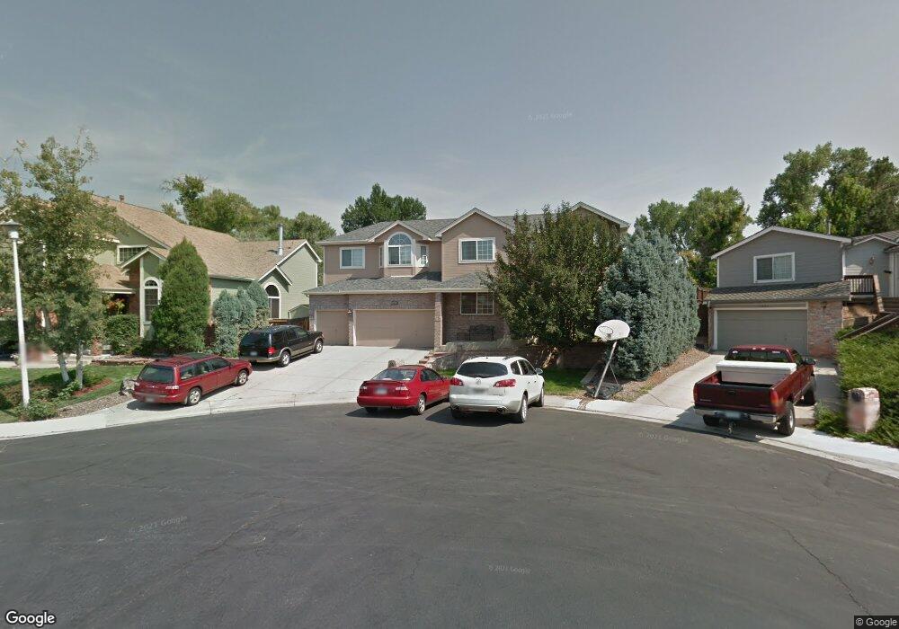
11633 W 75th Cir Arvada, CO 80005
Harvest Lane NeighborhoodEstimated Value: $788,834 - $938,000
5
Beds
4
Baths
3,697
Sq Ft
$235/Sq Ft
Est. Value
About This Home
This home is located at 11633 W 75th Cir, Arvada, CO 80005 and is currently estimated at $868,459, approximately $234 per square foot. 11633 W 75th Cir is a home located in Jefferson County with nearby schools including Fremont Elementary School, Oberon Middle School, and Arvada West High School.
Ownership History
Date
Name
Owned For
Owner Type
Purchase Details
Closed on
Apr 30, 2015
Sold by
Hartfield Richard A and Hartfield Paula M
Bought by
Rensberger Shannon Marie and Rensberger Michael Andrew
Current Estimated Value
Home Financials for this Owner
Home Financials are based on the most recent Mortgage that was taken out on this home.
Original Mortgage
$380,000
Outstanding Balance
$293,374
Interest Rate
3.74%
Mortgage Type
New Conventional
Estimated Equity
$575,085
Create a Home Valuation Report for This Property
The Home Valuation Report is an in-depth analysis detailing your home's value as well as a comparison with similar homes in the area
Home Values in the Area
Average Home Value in this Area
Purchase History
| Date | Buyer | Sale Price | Title Company |
|---|---|---|---|
| Rensberger Shannon Marie | $475,000 | First American |
Source: Public Records
Mortgage History
| Date | Status | Borrower | Loan Amount |
|---|---|---|---|
| Open | Rensberger Shannon Marie | $380,000 |
Source: Public Records
Tax History
| Year | Tax Paid | Tax Assessment Tax Assessment Total Assessment is a certain percentage of the fair market value that is determined by local assessors to be the total taxable value of land and additions on the property. | Land | Improvement |
|---|---|---|---|---|
| 2024 | $4,224 | $43,552 | $14,382 | $29,170 |
| 2023 | $4,224 | $43,552 | $14,382 | $29,170 |
| 2022 | $3,955 | $40,382 | $11,094 | $29,288 |
| 2021 | $4,020 | $41,544 | $11,413 | $30,131 |
| 2020 | $3,760 | $38,960 | $10,995 | $27,965 |
| 2019 | $3,709 | $38,960 | $10,995 | $27,965 |
| 2018 | $3,374 | $34,454 | $7,441 | $27,013 |
| 2017 | $3,088 | $34,454 | $7,441 | $27,013 |
| 2016 | $3,180 | $33,418 | $7,978 | $25,440 |
| 2015 | $2,778 | $33,418 | $7,978 | $25,440 |
| 2014 | $2,778 | $27,438 | $6,965 | $20,473 |
Source: Public Records
Map
Nearby Homes
- 7482 Routt Ln
- 11500 W 76th Way
- 11306 W 75th Ave
- 11825 W 73rd Dr
- 11802 W 77th Dr
- 7278 Union Ct
- 11003 W 78th Ave
- 7651 Oak St
- 7163 Swadley Ct
- 11067 W 72nd Place
- 7130 Simms St Unit 207
- 11070 W 72nd Place
- 7140 Simms St Unit 102
- 7080 Simms St Unit 204
- 11625 W 81st Ave
- 10250 W 73rd Place
- 10665 W 78th Ave
- 11921 W 70th Place
- 12446 W 71st Place
- 11530 W 70th Place Unit F
- 11643 W 75th Cir
- 11623 W 75th Cir
- 11653 W 75th Cir
- 11613 W 75th Cir
- 11642 W 75th Cir
- 11663 W 75th Cir
- 11632 W 75th Cir
- 11652 W 75th Cir
- 11622 W 75th Cir
- 11662 W 75th Cir
- 7532 Routt Ln
- 11673 W 75th Cir
- 7516 Simms Ct
- 11672 W 75th Cir
- 11683 W 75th Cir
- 7517 Simms Ct
- 0 Simms Ct
- 7620 Simms St
- 7526 Routt Ln
- 7519 Simms St
Your Personal Tour Guide
Ask me questions while you tour the home.