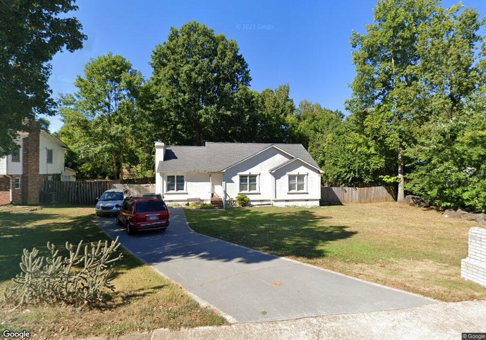
1167 Ebinport Rd Rock Hill, SC 29732
Estimated Value: $256,000 - $300,000
3
Beds
2
Baths
1,600
Sq Ft
$172/Sq Ft
Est. Value
About This Home
This home is located at 1167 Ebinport Rd, Rock Hill, SC 29732 and is currently estimated at $275,858, approximately $172 per square foot. 1167 Ebinport Rd is a home located in York County with nearby schools including Richmond Drive Elementary School, W.C. Sullivan Middle School, and Rock Hill High School.
Ownership History
Date
Name
Owned For
Owner Type
Purchase Details
Closed on
Oct 25, 2011
Sold by
Patterson Shawn G and Patterson Shelly N
Bought by
Anderson James E
Current Estimated Value
Home Financials for this Owner
Home Financials are based on the most recent Mortgage that was taken out on this home.
Original Mortgage
$66,648
Outstanding Balance
$45,268
Interest Rate
4.09%
Mortgage Type
FHA
Estimated Equity
$230,590
Purchase Details
Closed on
Dec 7, 2007
Sold by
Patterson Shelly N and Pickett Shelly N
Bought by
Patterson Shawn G
Create a Home Valuation Report for This Property
The Home Valuation Report is an in-depth analysis detailing your home's value as well as a comparison with similar homes in the area
Home Values in the Area
Average Home Value in this Area
Purchase History
| Date | Buyer | Sale Price | Title Company |
|---|---|---|---|
| Anderson James E | $50,000 | -- | |
| Patterson Shawn G | -- | -- | |
| Patterson Shawn G | -- | Attorney |
Source: Public Records
Mortgage History
| Date | Status | Borrower | Loan Amount |
|---|---|---|---|
| Open | Anderson James E | $66,648 |
Source: Public Records
Tax History
| Year | Tax Paid | Tax Assessment Tax Assessment Total Assessment is a certain percentage of the fair market value that is determined by local assessors to be the total taxable value of land and additions on the property. | Land | Improvement |
|---|---|---|---|---|
| 2025 | $1,099 | $5,112 | $1,089 | $4,023 |
| 2024 | $975 | $4,445 | $1,000 | $3,445 |
| 2023 | $978 | $4,445 | $1,000 | $3,445 |
| 2022 | $985 | $4,445 | $1,000 | $3,445 |
| 2021 | -- | $4,445 | $1,000 | $3,445 |
| 2020 | $987 | $4,445 | $0 | $0 |
| 2019 | $889 | $3,880 | $0 | $0 |
| 2018 | $887 | $3,880 | $0 | $0 |
| 2017 | $855 | $3,880 | $0 | $0 |
| 2016 | $847 | $3,880 | $0 | $0 |
| 2014 | $470 | $3,880 | $1,000 | $2,880 |
| 2013 | $470 | $4,260 | $1,000 | $3,260 |
Source: Public Records
Map
Nearby Homes
- 1355 Ebinport Rd
- 1246 Jenkins St
- 128 Front Porch Dr
- 1412 Ebinport Rd
- 1359 Deas St
- 1058 Farm Pond Ln Unit 1B
- 1512 Hollythorne Dr
- 1097 Cherry Meadow Ln
- 1356 Woodhurst Dr
- 1459 Gregson Ct
- 1106 Chandler Dr Unit 104
- 1439 Woodhurst Dr
- 785 Rabun Ln
- 1352 Steed St
- 1311 Mount Gallant Rd
- 1406 Woodhurst Dr
- 1022 Cherry Meadow Ln
- 1112 Chandler Dr Unit 101
- 1100 Chandler Dr Unit 102
- 873 Kentwood Dr
- 1159 Ebinport Rd
- 1201 Ebinport Rd
- 1788 Northgate Ln
- 1153 Ebinport Rd
- 1784 Northgate Ln
- 1168 Ebinport Rd
- 1208 Roundtree Cir
- 1211 Ebinport Rd
- 1156 Ebinport Rd
- 1695 Sandpiper Dr
- 1145 Ebinport Rd
- 1204 Ebinport Rd
- 1154 Ebinport Rd
- 1216 Roundtree Cir
- 1776 Northgate Ln
- 1148 Ebinport Rd
- 1687 Sandpiper Dr
- 1139 Ebinport Rd
- 1690 Sandpiper Dr
- 1772 Northgate Ln
Your Personal Tour Guide
Ask me questions while you tour the home.